20305 Pinto Place Pierre, SD 57501
Estimated Value: $370,000 - $540,000
4
Beds
3
Baths
1,120
Sq Ft
$396/Sq Ft
Est. Value
About This Home
This home is located at 20305 Pinto Place, Pierre, SD 57501 and is currently estimated at $443,149, approximately $395 per square foot. 20305 Pinto Place is a home with nearby schools including T.F. Riggs High School.
Ownership History
Date
Name
Owned For
Owner Type
Purchase Details
Closed on
Mar 12, 2018
Bought by
Boyd Obryan Spencer and Obryan Peggy Lee
Current Estimated Value
Purchase Details
Closed on
Apr 28, 2006
Sold by
Beggs Regina
Bought by
Jacobsen Dale W and Jacobsen Kristie A
Home Financials for this Owner
Home Financials are based on the most recent Mortgage that was taken out on this home.
Original Mortgage
$150,000
Interest Rate
6.39%
Create a Home Valuation Report for This Property
The Home Valuation Report is an in-depth analysis detailing your home's value as well as a comparison with similar homes in the area
Purchase History
| Date | Buyer | Sale Price | Title Company |
|---|---|---|---|
| Boyd Obryan Spencer | $318,500 | -- | |
| Jacobsen Dale W | $160,000 | -- |
Source: Public Records
Mortgage History
| Date | Status | Borrower | Loan Amount |
|---|---|---|---|
| Previous Owner | Jacobsen Dale W | $150,000 |
Source: Public Records
Tax History Compared to Growth
Tax History
| Year | Tax Paid | Tax Assessment Tax Assessment Total Assessment is a certain percentage of the fair market value that is determined by local assessors to be the total taxable value of land and additions on the property. | Land | Improvement |
|---|---|---|---|---|
| 2025 | $2,784 | $331,209 | $67,852 | $263,357 |
| 2024 | $2,595 | $305,303 | $62,545 | $242,758 |
| 2023 | $2,381 | $275,189 | $59,852 | $215,337 |
| 2022 | $2,117 | $233,211 | $50,722 | $182,489 |
| 2021 | $2,067 | $197,637 | $42,985 | $154,652 |
| 2020 | $2,102 | $191,881 | $41,733 | $150,148 |
| 2019 | $2,112 | $191,881 | $41,733 | $150,148 |
| 2018 | $1,873 | $182,744 | $39,746 | $142,998 |
| 2017 | -- | $161,881 | $38,588 | $123,293 |
| 2016 | $1,867 | $161,881 | $38,588 | $123,293 |
| 2015 | -- | $146,830 | $35,000 | $111,830 |
| 2014 | -- | $135,477 | $28,972 | $106,505 |
| 2013 | -- | $135,477 | $28,972 | $106,505 |
| 2011 | -- | $135,477 | $28,972 | $106,505 |
Source: Public Records
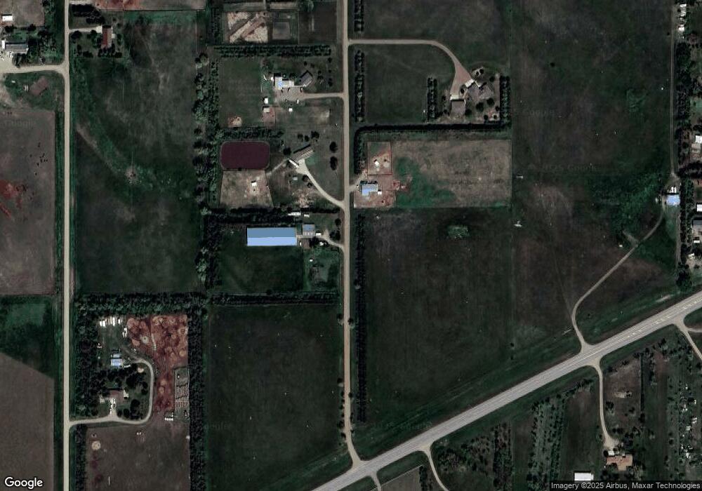
Map
Nearby Homes
- 0 Tbd 203rd St St
- 2821 Oxford Ct
- Lot 35 Falcon Ridge Rd
- Lot 3 Falcon Ridge Rd
- 20426 Augusta Rd
- 20426 Augusta Rd Unit LotWP001
- 219 Mars St
- 149 Polaris Ave
- 104 Mercury St
- 0 Brookstone Lp
- 1912 Brighton Ct
- 2222 Stratford Place
- Lot 13R N Garfield Ave
- 131 Hampton Dr
- 139 Hampton Dr
- 137 Hampton Dr
- 0 Woodview Dr
- 129 Norbeck Dr
- 28884 Puckett St
- 6228/6229 Hwy 1804
- 20309 Pinto Place
- 20301 Pinto Place
- 20308 Pinto Place
- 20453 Cendak Rd
- 20375 Cendak Rd
- 20317 Cedar Ct
- 20309 Cedar Ct
- 20313 Cedar Ct
- 20301 Cedar Ct
- 20305 Cedar Ct
- 20321 Cedar Ct
- 20325 Cedar Ct
- 1525 Crested Ave
- 29409 Us Highway 14
- 20308 Cedar Ct
- 29445 Us Highway 14
- 20304 Cedar Ct
- 20316 Cedar Ct
- 29419 Us Highway 14
- 20312 Cedar Ct