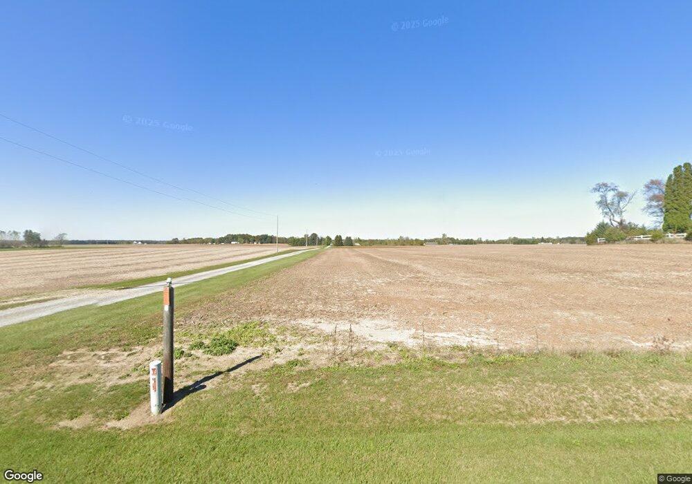
20307 Fairmount Rd Wapakoneta, OH 45895
Estimated Value: $250,000 - $337,000
4
Beds
2
Baths
1,982
Sq Ft
$145/Sq Ft
Est. Value
About This Home
This home is located at 20307 Fairmount Rd, Wapakoneta, OH 45895 and is currently estimated at $287,109, approximately $144 per square foot. 20307 Fairmount Rd is a home located in Auglaize County with nearby schools including Cridersville Elementary School, Wapakoneta High School, and Wapakoneta Middle School.
Ownership History
Date
Name
Owned For
Owner Type
Purchase Details
Closed on
Nov 6, 2006
Sold by
Pendergast Michael J and Pendergast Cynthia A
Bought by
Lawrence Todd A and Lawrence Holly
Current Estimated Value
Home Financials for this Owner
Home Financials are based on the most recent Mortgage that was taken out on this home.
Original Mortgage
$136,918
Outstanding Balance
$81,669
Interest Rate
6.36%
Mortgage Type
FHA
Estimated Equity
$205,440
Purchase Details
Closed on
Feb 14, 2006
Sold by
Pendergast Michael J and Pendergast Cynthia A
Bought by
Pendergast Michael J and Pendergast Cynthia A
Purchase Details
Closed on
Sep 8, 2005
Sold by
Apollo Ventures Inc
Bought by
Pendergast Michael J
Home Financials for this Owner
Home Financials are based on the most recent Mortgage that was taken out on this home.
Original Mortgage
$161,721
Interest Rate
6.01%
Mortgage Type
FHA
Purchase Details
Closed on
May 1, 1987
Create a Home Valuation Report for This Property
The Home Valuation Report is an in-depth analysis detailing your home's value as well as a comparison with similar homes in the area
Home Values in the Area
Average Home Value in this Area
Purchase History
| Date | Buyer | Sale Price | Title Company |
|---|---|---|---|
| Lawrence Todd A | $138,800 | Attorney | |
| Pendergast Michael J | -- | None Available | |
| Pendergast Michael J | $40,750 | None Available | |
| -- | $84,000 | -- |
Source: Public Records
Mortgage History
| Date | Status | Borrower | Loan Amount |
|---|---|---|---|
| Open | Lawrence Todd A | $136,918 | |
| Previous Owner | Pendergast Michael J | $161,721 |
Source: Public Records
Tax History Compared to Growth
Tax History
| Year | Tax Paid | Tax Assessment Tax Assessment Total Assessment is a certain percentage of the fair market value that is determined by local assessors to be the total taxable value of land and additions on the property. | Land | Improvement |
|---|---|---|---|---|
| 2024 | $3,184 | $62,750 | $17,900 | $44,850 |
| 2023 | $2,202 | $62,750 | $17,900 | $44,850 |
| 2022 | $2,055 | $53,550 | $14,920 | $38,630 |
| 2021 | $2,038 | $53,550 | $14,920 | $38,630 |
| 2020 | $1,032 | $53,547 | $14,917 | $38,630 |
| 2019 | $1,765 | $44,720 | $12,432 | $32,288 |
| 2018 | $1,693 | $44,720 | $12,432 | $32,288 |
| 2017 | $1,684 | $44,720 | $12,432 | $32,288 |
| 2016 | $1,441 | $38,490 | $10,822 | $27,668 |
| 2015 | $1,439 | $38,490 | $10,822 | $27,668 |
| 2014 | $1,453 | $38,490 | $10,822 | $27,668 |
| 2013 | $1,415 | $36,418 | $8,750 | $27,668 |
Source: Public Records
Map
Nearby Homes
- 21015 Fairmount Rd
- 20630 State Route 67
- 0 Ohio 67
- 37 N Main St
- 80 Main St
- 17 E Walnut St
- 18258 Graham Rd
- 1030 Hume Rd E
- 17946 National Rd
- 5065 Amherst Rd
- 212 S Oak St
- 1805 Huntington Dr
- 1835 Huntington Dr
- 5116 S Dixie Hwy
- 202 W Mulberry St
- 5116 Spencer Dr
- 1200 E Breese Rd
- 25836 Ohio 67
- 202 Karen St
- 301 North Place
- 20406 Miller Rd
- 20286 Miller Rd
- 20160 Miller Rd
- 20271 Miller Rd
- 20333 Miller Rd
- 20179 Fairmount Rd
- 20461 Fairmount Rd
- 20286 Fairmount Rd
- 20155 Miller Rd
- 20429 Miller Rd
- 20141 Fairmount Rd
- 20469 Miller Rd
- 20486 Fairmount Rd
- 20588 Miller Rd
- 20083 Miller Rd
- 20228 Fairmount Rd
- 20003 Miller Rd
- 19998 Fairmount Rd
- 20641 Miller Rd
- 20694 Fairmount Rd
