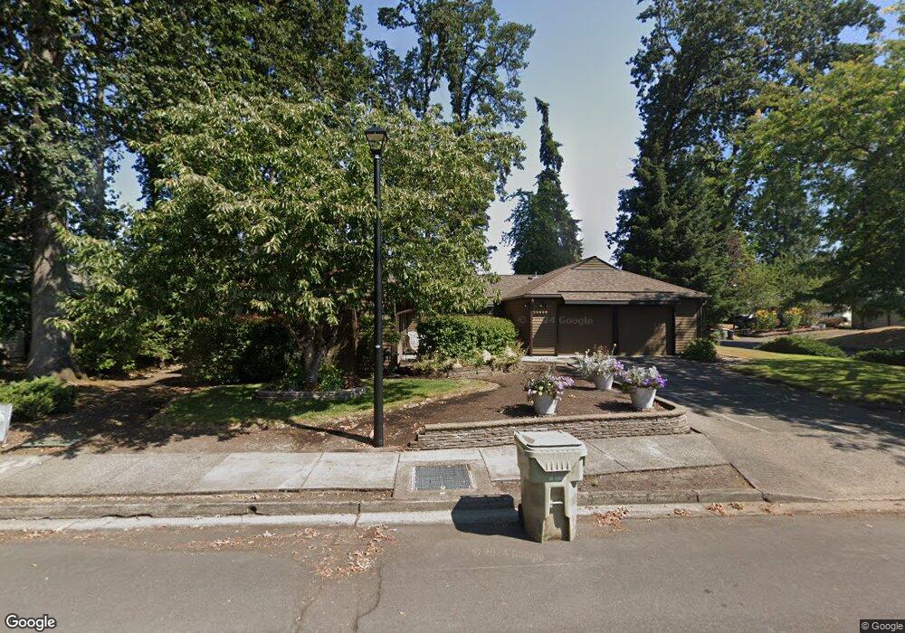
20309 SW Rock Ct Beaverton, OR 97006
Estimated Value: $540,000 - $556,216
3
Beds
2
Baths
1,878
Sq Ft
$292/Sq Ft
Est. Value
About This Home
This home is located at 20309 SW Rock Ct, Beaverton, OR 97006 and is currently estimated at $547,554, approximately $291 per square foot. 20309 SW Rock Ct is a home located in Washington County with nearby schools including Indian Hills Elementary School, R.A. Brown Middle School, and Century High School.
Ownership History
Date
Name
Owned For
Owner Type
Purchase Details
Closed on
May 4, 2009
Sold by
Allan Lois M
Bought by
Meserschmidt Mark J and Meserschmidt Sheila K
Current Estimated Value
Home Financials for this Owner
Home Financials are based on the most recent Mortgage that was taken out on this home.
Original Mortgage
$199,600
Outstanding Balance
$124,681
Interest Rate
4.8%
Mortgage Type
Purchase Money Mortgage
Estimated Equity
$422,873
Create a Home Valuation Report for This Property
The Home Valuation Report is an in-depth analysis detailing your home's value as well as a comparison with similar homes in the area
Home Values in the Area
Average Home Value in this Area
Purchase History
| Date | Buyer | Sale Price | Title Company |
|---|---|---|---|
| Meserschmidt Mark J | $249,500 | First American |
Source: Public Records
Mortgage History
| Date | Status | Borrower | Loan Amount |
|---|---|---|---|
| Open | Meserschmidt Mark J | $199,600 |
Source: Public Records
Tax History Compared to Growth
Tax History
| Year | Tax Paid | Tax Assessment Tax Assessment Total Assessment is a certain percentage of the fair market value that is determined by local assessors to be the total taxable value of land and additions on the property. | Land | Improvement |
|---|---|---|---|---|
| 2026 | $4,227 | $289,060 | -- | -- |
| 2025 | $4,227 | $280,650 | -- | -- |
| 2024 | $4,103 | $272,480 | -- | -- |
| 2023 | $4,103 | $264,550 | $0 | $0 |
| 2022 | $3,951 | $264,550 | $0 | $0 |
| 2021 | $3,882 | $249,370 | $0 | $0 |
| 2020 | $3,799 | $242,110 | $0 | $0 |
| 2019 | $3,685 | $235,060 | $0 | $0 |
| 2018 | $3,525 | $228,220 | $0 | $0 |
| 2017 | $3,393 | $221,580 | $0 | $0 |
| 2016 | $3,305 | $215,130 | $0 | $0 |
| 2015 | $3,191 | $208,870 | $0 | $0 |
| 2014 | $3,134 | $202,790 | $0 | $0 |
Source: Public Records
Map
Nearby Homes
- 1730 SW 203rd Ave
- 1553 SW 203rd Ave
- 20490 SW Frances St
- 19805 SW Rock Rd
- 20140 SW Augusta Ct
- 2125 SW Leewood Dr
- 1439 SW 208th Ave
- 19820 SW Jette Ln
- 19468 SW Euclid Ln
- 19340 SW Blaine St
- 20935 SW Anthony Ct
- 20382 SW Monson St
- 20035 SW Monson St
- 20175 SW Clarion St
- 887 SW 198th Place
- 1297 SW 209th Ave
- 20060 SW Clarion St
- 19235 SW Durell Ct
- 778 SW 198th Place
- 21240 SW Lenore Ct
- 20319 SW Rock Ct
- 20320 SW Rock Rd
- 20312 SW Rock Ct
- 1700 SW 203rd Ave
- 20329 SW Rock Ct
- 20330 SW Rock Rd
- 20322 SW Rock Ct
- 1760 SW 203rd Ave
- 20310 SW Rock Rd
- 1670 SW 203rd Ave
- 1790 SW 203rd Ave
- 20340 SW Rock Rd
- 20339 SW Rock Ct
- 20332 SW Rock Ct
- 20323 SW Blaine St
- 20050 SW Rock Dr
- 20342 SW Rock Ct
- 20323 SW Blaine St
- 20353 SW Blaine St
- 20070 SW Rock Dr