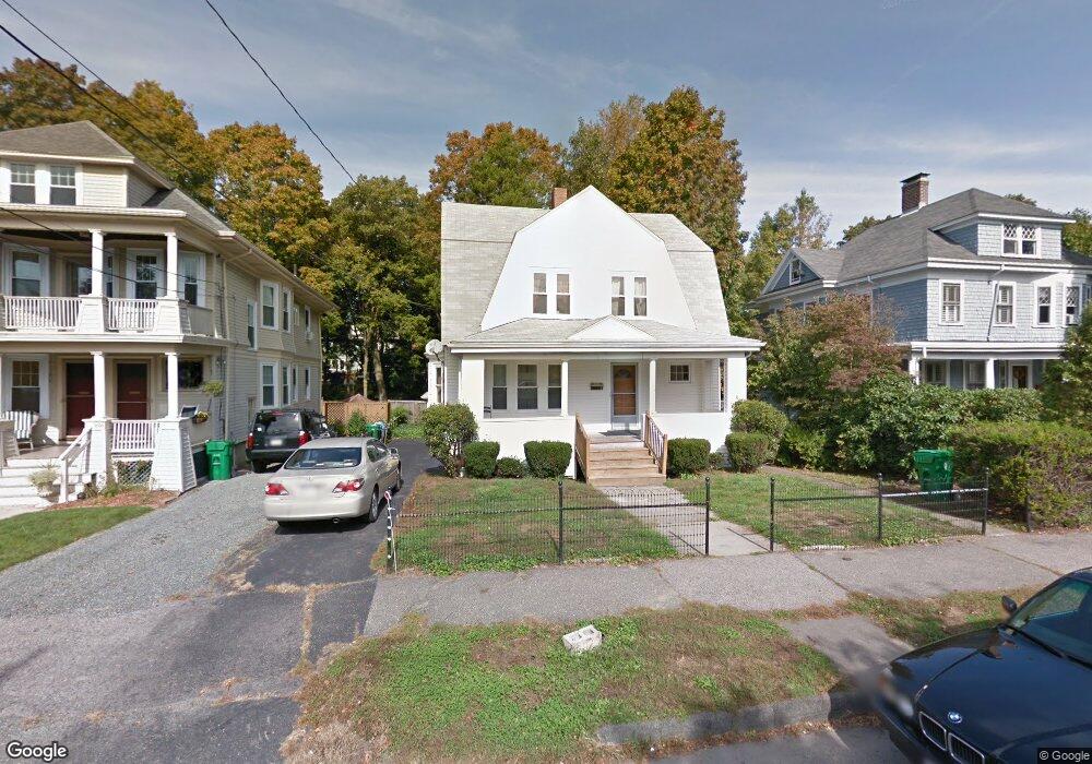
2031 Commonwealth Ave Unit house Auburndale, MA 02466
Auburndale NeighborhoodEstimated Value: $1,539,000 - $1,666,232
4
Beds
2
Baths
1,740
Sq Ft
$919/Sq Ft
Est. Value
About This Home
This home is located at 2031 Commonwealth Ave Unit house, Auburndale, MA 02466 and is currently estimated at $1,598,558, approximately $918 per square foot. 2031 Commonwealth Ave Unit house is a home located in Middlesex County with nearby schools including C.C. Burr, F.A. Day Middle School, and Newton North High School.
Ownership History
Date
Name
Owned For
Owner Type
Purchase Details
Closed on
Apr 26, 2021
Sold by
Fong Dawnny S
Bought by
2031 Comm Ave Reno Llc
Current Estimated Value
Purchase Details
Closed on
Aug 18, 1987
Sold by
Kistler Larry A
Bought by
Fong Henry C
Home Financials for this Owner
Home Financials are based on the most recent Mortgage that was taken out on this home.
Original Mortgage
$80,000
Interest Rate
10.4%
Mortgage Type
Purchase Money Mortgage
Create a Home Valuation Report for This Property
The Home Valuation Report is an in-depth analysis detailing your home's value as well as a comparison with similar homes in the area
Home Values in the Area
Average Home Value in this Area
Purchase History
| Date | Buyer | Sale Price | Title Company |
|---|---|---|---|
| 2031 Comm Ave Reno Llc | $1,100,000 | None Available | |
| Fong Henry C | $245,000 | -- |
Source: Public Records
Mortgage History
| Date | Status | Borrower | Loan Amount |
|---|---|---|---|
| Previous Owner | Fong Henry C | $80,000 |
Source: Public Records
Tax History Compared to Growth
Tax History
| Year | Tax Paid | Tax Assessment Tax Assessment Total Assessment is a certain percentage of the fair market value that is determined by local assessors to be the total taxable value of land and additions on the property. | Land | Improvement |
|---|---|---|---|---|
| 2025 | $15,109 | $1,541,700 | $945,100 | $596,600 |
| 2024 | $14,609 | $1,496,800 | $917,600 | $579,200 |
| 2023 | $12,949 | $1,272,000 | $692,300 | $579,700 |
| 2022 | $10,013 | $951,800 | $641,000 | $310,800 |
| 2021 | $8,201 | $762,200 | $549,800 | $212,400 |
| 2020 | $7,957 | $762,200 | $549,800 | $212,400 |
| 2019 | $7,733 | $740,000 | $533,800 | $206,200 |
| 2018 | $7,291 | $673,800 | $480,800 | $193,000 |
| 2017 | $7,069 | $635,700 | $453,600 | $182,100 |
| 2016 | $6,761 | $594,100 | $423,900 | $170,200 |
| 2015 | $6,446 | $555,200 | $396,200 | $159,000 |
Source: Public Records
Map
Nearby Homes
- 62-64 Rowe St Unit B
- 226 Auburn St Unit 226
- 224 Auburn St Unit 224
- 224 Auburn St Unit A
- 13 Weir St
- 160 Pine St Unit 12
- 283 Melrose St
- 17 Crescent St
- 10 Crescent St Unit 1
- 10 Crescent St Unit 2
- 51 Bourne St
- 17 Gilbert St
- 2202 Commonwealth Ave Unit 2
- 2202 Commonwealth Ave Unit 1
- 0 Duncan Rd Unit 72925240
- 49 Staniford St
- 17 Lasell St
- 1639 Washington St
- 90 Auburndale Ave
- 283 Woodland Rd
- 2031 Commonwealth Ave
- 2031 Commonwealth Ave Unit 1
- 2031 Commonwealth Ave Unit 2031
- 2033-2035 Commonwealth Ave
- 2033 Commonwealth Ave Unit 2035
- 2035 Commonwealth Ave Unit 1
- 2035 Commonwealth Ave
- 2027 Commonwealth Ave
- 2025 Commonwealth Ave
- 2039 Commonwealth Ave
- 15 Pamela Ct
- 2043 Commonwealth Ave
- 2043 Commonwealth Ave Unit 36
- 2015 Commonwealth Ave
- 2015 Commonwealth Ave Unit 27
- 398 Wolcott St
- 2021 Commonwealth Ave
- 392 Wolcott St
- 2007 Commonwealth Ave
- 2007 Commonwealth Ave Unit 32