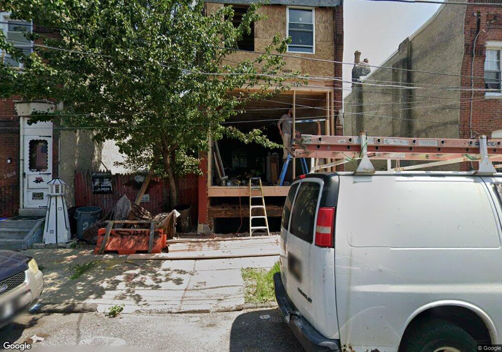
2031 E Auburn St Philadelphia, PA 19134
Port Richmond NeighborhoodEstimated Value: $86,000
3
Beds
1
Bath
--
Sq Ft
1,002
Sq Ft Lot
About This Home
This home is located at 2031 E Auburn St, Philadelphia, PA 19134 and is currently estimated at $86,000. 2031 E Auburn St is a home located in Philadelphia County with nearby schools including Frances E. Willard Elementary School, Kensington High School, and Kensington Health Sciences Academy.
Ownership History
Date
Name
Owned For
Owner Type
Purchase Details
Closed on
Sep 27, 2017
Sold by
Philadelphia Redeveopment Authority
Bought by
Zeledon Miguel A
Current Estimated Value
Purchase Details
Closed on
Jul 26, 2017
Sold by
City Of Philadelphia
Bought by
Philadelphia Redevelopment Authority and The Redevelopment Authority Of The City
Purchase Details
Closed on
Jun 12, 2015
Sold by
Rivera Daniel
Bought by
City Of Philadelphia
Purchase Details
Closed on
Jan 31, 1997
Sold by
Buggs & Associates
Bought by
Rivera Daniel
Create a Home Valuation Report for This Property
The Home Valuation Report is an in-depth analysis detailing your home's value as well as a comparison with similar homes in the area
Home Values in the Area
Average Home Value in this Area
Purchase History
| Date | Buyer | Sale Price | Title Company |
|---|---|---|---|
| Zeledon Miguel A | $6,494 | None Available | |
| Philadelphia Redevelopment Authority | -- | None Available | |
| City Of Philadelphia | $1,000 | None Available | |
| Rivera Daniel | $1,800 | -- |
Source: Public Records
Tax History Compared to Growth
Tax History
| Year | Tax Paid | Tax Assessment Tax Assessment Total Assessment is a certain percentage of the fair market value that is determined by local assessors to be the total taxable value of land and additions on the property. | Land | Improvement |
|---|---|---|---|---|
| 2025 | $437 | $43,100 | $43,100 | -- |
| 2024 | $437 | $43,100 | $43,100 | -- |
| 2023 | $437 | $31,200 | $31,200 | $0 |
| 2022 | $165 | $31,200 | $31,200 | $0 |
| 2021 | $165 | $0 | $0 | $0 |
| 2020 | $165 | $0 | $0 | $0 |
| 2019 | $165 | $0 | $0 | $0 |
| 2018 | $165 | $0 | $0 | $0 |
| 2017 | $165 | $0 | $0 | $0 |
| 2016 | $115 | $0 | $0 | $0 |
| 2015 | $110 | $0 | $0 | $0 |
| 2014 | -- | $8,200 | $8,200 | $0 |
| 2012 | -- | $640 | $640 | $0 |
Source: Public Records
Map
Nearby Homes
- 2032 E Auburn St
- 2056 E Auburn St
- 2057 E Rush St
- 2042 E Rush St
- 2816 Amber St
- 2068 E William St
- 2131 E William St
- 2161 E William St
- 2055 E William St
- 2059 E William St
- 2057 E William St
- 2849 Amber St
- 2050 E Cambria St
- 2106 E William St
- 2002 Hart Ln
- 2120 E Rush St
- 2807 Emerald St
- 2113 E William St
- 2108 E Cambria St
- 1950 Hart Ln
- 2035 E Auburn St
- 2033 E Auburn St
- 2037 E Auburn St
- 2039 E Auburn St
- 2029 E Auburn St
- 2027 E Auburn St
- 2025 E Auburn St
- 2041 E Auburn St
- 2043 E Auburn St
- 2034 E Auburn St
- 2036 E Auburn St
- 2839 Frankford Ave
- 2833 Frankford Ave
- 2835 Coral St
- 2837 Frankford Ave
- 2835 Frankford Ave
- 2831 Frankford Ave
- 2038 E William St
- 2833 Coral St
- 2834 Coral St