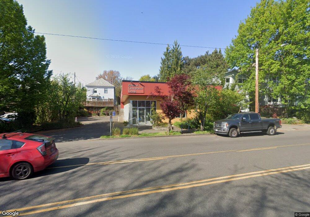
2031 E Burnside St Unit 1 Portland, OR 97232
Kerns NeighborhoodEstimated Value: $954,950
--
Bed
6
Baths
3,200
Sq Ft
$298/Sq Ft
Est. Value
About This Home
This home is located at 2031 E Burnside St Unit 1, Portland, OR 97232 and is currently priced at $954,950, approximately $298 per square foot. 2031 E Burnside St Unit 1 is a home located in Multnomah County with nearby schools including Buckman Elementary School, Hosford Middle School, and Cleveland High School.
Ownership History
Date
Name
Owned For
Owner Type
Purchase Details
Closed on
Feb 14, 2003
Sold by
Naap Llc
Bought by
Hewgur Llc
Current Estimated Value
Home Financials for this Owner
Home Financials are based on the most recent Mortgage that was taken out on this home.
Original Mortgage
$666,000
Outstanding Balance
$278,734
Interest Rate
5.76%
Mortgage Type
Commercial
Create a Home Valuation Report for This Property
The Home Valuation Report is an in-depth analysis detailing your home's value as well as a comparison with similar homes in the area
Home Values in the Area
Average Home Value in this Area
Purchase History
| Date | Buyer | Sale Price | Title Company |
|---|---|---|---|
| Hewgur Llc | $375,000 | First American |
Source: Public Records
Mortgage History
| Date | Status | Borrower | Loan Amount |
|---|---|---|---|
| Open | Hewgur Llc | $666,000 |
Source: Public Records
Tax History Compared to Growth
Tax History
| Year | Tax Paid | Tax Assessment Tax Assessment Total Assessment is a certain percentage of the fair market value that is determined by local assessors to be the total taxable value of land and additions on the property. | Land | Improvement |
|---|---|---|---|---|
| 2025 | $10,110 | $375,220 | -- | -- |
| 2024 | $9,747 | $364,300 | -- | -- |
| 2023 | $9,372 | $353,690 | $0 | $0 |
| 2022 | $9,169 | $343,390 | $0 | $0 |
| 2021 | $9,014 | $333,390 | $0 | $0 |
| 2020 | $8,269 | $323,680 | $0 | $0 |
| 2019 | $7,965 | $314,260 | $0 | $0 |
| 2018 | $7,731 | $305,110 | $0 | $0 |
| 2017 | $7,410 | $296,230 | $0 | $0 |
| 2016 | $6,781 | $287,610 | $0 | $0 |
| 2015 | $6,603 | $279,240 | $0 | $0 |
Source: Public Records
Map
Nearby Homes
- 2232 SE Ankeny St Unit 2
- 2234 SE Ankeny St Unit 3
- 2342 SE Ankeny St
- 2250 NE Flanders St Unit 3
- 2507 E Burnside St
- 1504 SE Ankeny St
- 1910 SE Stark St
- 536 SE 17th Ave
- 2536 NE Hoyt St Unit 2540
- 2544 NE Hoyt St Unit 2548
- 423 SE 28th Ave Unit 429
- 1626 SE Alder St
- 1705 SE Morrison St
- 2036-2038 SE Morrison St
- 623 NE Randall Ave
- 711 NE Randall Ave Unit 203
- 1610 SE Morrison St Unit 1
- 1614 SE Morrison St Unit 3
- 1612 SE Morrison St Unit 2
- 1616 SE Morrison St
- 2039 E Burnside St Unit 2041
- 2047 E Burnside St
- 2045 E Burnside St Unit 2047
- 2045 E Burnside St
- 2040 NE Couch St Unit 2
- 2034 NE Couch St
- 2012 NE Couch St Unit 2014
- 2038 NE Couch St Unit 1
- 2107 E Burnside St Unit 2109
- 2050 NE Couch St
- 2050 NE Couch St Unit 4
- 34 NE 20th Ave Unit 1
- 2104 NE Couch St
- 2111 E Burnside St Unit 2
- 2114 E Burnside St
- 2025 NE Couch St
- 2041 NE Couch St
- 2049 NE Couch St Unit 2051
- 21 NE 22nd Ave