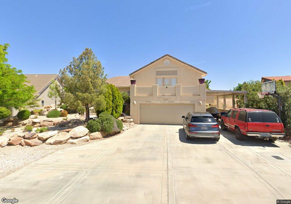
2031 Sherman Rd Saint George, UT 84790
Bloomington Hills NeighborhoodEstimated Value: $521,579 - $639,000
3
Beds
3
Baths
2,960
Sq Ft
$197/Sq Ft
Est. Value
About This Home
This home is located at 2031 Sherman Rd, Saint George, UT 84790 and is currently estimated at $582,145, approximately $196 per square foot. 2031 Sherman Rd is a home located in Washington County with nearby schools including Bloomington Hills Elementary School, Desert Hills Middle School, and Sunrise Ridge Intermediate School.
Ownership History
Date
Name
Owned For
Owner Type
Purchase Details
Closed on
Feb 1, 2018
Sold by
Murray Catharine P
Bought by
Murray Catherien Parke and The Catarine Murray Trust
Current Estimated Value
Purchase Details
Closed on
Jul 8, 2005
Sold by
Bassett John E and Bassett Annette
Bought by
Murray Catharine P
Home Financials for this Owner
Home Financials are based on the most recent Mortgage that was taken out on this home.
Original Mortgage
$68,000
Interest Rate
5.51%
Mortgage Type
Stand Alone Second
Create a Home Valuation Report for This Property
The Home Valuation Report is an in-depth analysis detailing your home's value as well as a comparison with similar homes in the area
Home Values in the Area
Average Home Value in this Area
Purchase History
| Date | Buyer | Sale Price | Title Company |
|---|---|---|---|
| Murray Catherien Parke | -- | None Available | |
| Murray Catharine P | -- | Valley Title Co |
Source: Public Records
Mortgage History
| Date | Status | Borrower | Loan Amount |
|---|---|---|---|
| Closed | Murray Catharine P | $68,000 | |
| Closed | Murray Catharine P | $272,000 |
Source: Public Records
Tax History Compared to Growth
Tax History
| Year | Tax Paid | Tax Assessment Tax Assessment Total Assessment is a certain percentage of the fair market value that is determined by local assessors to be the total taxable value of land and additions on the property. | Land | Improvement |
|---|---|---|---|---|
| 2025 | $3,732 | $547,200 | $163,300 | $383,900 |
| 2023 | $3,842 | $574,000 | $172,500 | $401,500 |
| 2022 | $4,024 | $565,400 | $143,800 | $421,600 |
| 2021 | $3,536 | $407,500 | $92,000 | $315,500 |
| 2020 | $3,257 | $353,500 | $74,800 | $278,700 |
| 2019 | $3,214 | $340,800 | $74,800 | $266,000 |
| 2018 | $3,131 | $311,200 | $0 | $0 |
| 2017 | $1,593 | $153,945 | $0 | $0 |
| 2016 | $1,670 | $149,270 | $0 | $0 |
| 2015 | $1,595 | $136,785 | $0 | $0 |
| 2014 | $1,584 | $136,730 | $0 | $0 |
Source: Public Records
Map
Nearby Homes
- 1180 Hubbard Place
- 1125 E Sherman Cir
- 1365 E Fort Pierce Dr Unit 9
- 2050 S 1400 E Unit K101
- 2050 S 1400 E Unit 3
- 2050 S 1400 E Unit 23
- 2050 S 1400 E Unit 18
- 1790 S River Rd
- 2285 Shilo Cir
- 2280 Bloomington Hills Dr Unit 5
- 2045 S 1400 E Unit 14
- 2045 S 1400 E Unit 10
- 2045 S 1400 E Unit 13
- 935 E Fort Pierce Dr
- 2271 S 1400 E
- 955 Summit Ridge Dr Unit 20
- 885 E Fort Pierce Dr
- 830 Larkspur Rd
- 1942 Acacia Place
- 1523 E Talus Way
- 2021 Sherman Rd
- 2011 Sherman Rd
- 1181 Hubbard Place
- 2030 Sherman Rd
- 2044 Sherman Rd
- 2020 Sherman Rd
- 2020 S Sherman
- 1171 Hubbard Place
- 1135 Oxford Place
- 2005 Sherman Rd
- 1191 Hubbard Place
- 2061 Sherman Rd
- 1191 E Hubbard
- 0 Fort Pierce Dr
- * Fort Pierce Dr
- 2010 Sherman Rd
- 1133 Oxford Place
- 1125 Oxford Place
- 1129 Oxford Place
- 1161 Hubbard Place