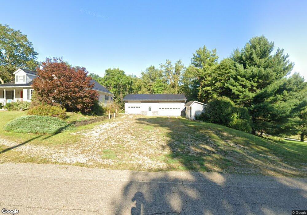
20311 County Road 6 Coshocton, OH 43812
Estimated Value: $226,000 - $316,000
4
Beds
2
Baths
2,302
Sq Ft
$123/Sq Ft
Est. Value
About This Home
This home is located at 20311 County Road 6, Coshocton, OH 43812 and is currently estimated at $283,326, approximately $123 per square foot. 20311 County Road 6 is a home with nearby schools including River View High School, Sacred Heart School, and Sacred Heart Elementary School.
Ownership History
Date
Name
Owned For
Owner Type
Purchase Details
Closed on
Feb 24, 2021
Sold by
Revennaugh Leslie J and Revennaugh Sharon R
Bought by
Shearer Jay E and Shearer Debra S
Current Estimated Value
Purchase Details
Closed on
Jul 7, 2014
Sold by
Revennaugh Leslie J and Revennaugh Sharon R
Bought by
Leslie J Revennaugh and Leslie Sharon R Revenna
Purchase Details
Closed on
Feb 28, 2006
Sold by
Revennaugh Leslie J and Revennaugh Sharon R
Bought by
Stevens Gayle
Create a Home Valuation Report for This Property
The Home Valuation Report is an in-depth analysis detailing your home's value as well as a comparison with similar homes in the area
Home Values in the Area
Average Home Value in this Area
Purchase History
| Date | Buyer | Sale Price | Title Company |
|---|---|---|---|
| Shearer Jay E | $265,000 | Fidelity Title Coshocton | |
| Shearer Jay E | -- | None Listed On Document | |
| Leslie J Revennaugh | -- | None Available | |
| Stevens Gayle | -- | None Available |
Source: Public Records
Tax History Compared to Growth
Tax History
| Year | Tax Paid | Tax Assessment Tax Assessment Total Assessment is a certain percentage of the fair market value that is determined by local assessors to be the total taxable value of land and additions on the property. | Land | Improvement |
|---|---|---|---|---|
| 2024 | $2,518 | $72,840 | $19,800 | $53,040 |
| 2023 | $2,518 | $55,437 | $13,244 | $42,193 |
| 2022 | $2,053 | $55,437 | $13,244 | $42,193 |
| 2021 | $2,053 | $55,437 | $13,244 | $42,193 |
| 2020 | $1,822 | $49,070 | $12,726 | $36,344 |
| 2019 | $1,864 | $49,070 | $12,726 | $36,344 |
| 2018 | $1,711 | $49,070 | $12,726 | $36,344 |
| 2017 | $1,616 | $43,177 | $11,883 | $31,294 |
| 2016 | $1,530 | $43,177 | $11,883 | $31,294 |
| 2015 | $765 | $43,177 | $11,883 | $31,294 |
| 2014 | $1,531 | $42,473 | $9,079 | $33,394 |
Source: Public Records
Map
Nearby Homes
- 20178 County Road 6
- 20413 Township Road 1184
- 20101 Ohio 16
- 17981 Township Road 347
- 19625 County Road 6
- 21569 State Route 16
- 2609 S 7th St
- 14405 Ohio 83
- 46418 County Road 501
- 771 State Route 541
- 223 Pine St
- 227 Pine St
- 935 S 7th St
- 425 S 3rd St
- 433 S 4th St
- 0 Ohio 83
- 731 S 6th St
- 1730 Otsego Ave
- 731 S Lawn Ave
- 300 Hillsdale Dr
- 18049 County Road 6
- 0 County Road 6
- 20308 County Road 6
- 20241 County Road 6
- 20296 County Road 6
- 20412 County Road 6
- 20248 County Road 6
- 20450 County Road 6
- 20510 County Road 6
- 20443 County Road 6
- 20443 County Road 6 Unit 282
- 21477 Township Road 282
- 20201 County Road 6
- 20146 County Road 6
- 20120 County Road 6
- 20445 County Road 6
- 20088 County Road 6
- 20249 County Road 6
- 20543 County Road 6
- 21345 Township Road 282