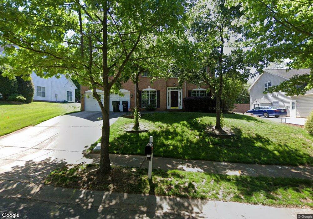
20311 Southshore Dr Cornelius, NC 28031
Estimated Value: $679,000 - $1,034,000
5
Beds
3
Baths
2,637
Sq Ft
$294/Sq Ft
Est. Value
About This Home
This home is located at 20311 Southshore Dr, Cornelius, NC 28031 and is currently estimated at $775,716, approximately $294 per square foot. 20311 Southshore Dr is a home located in Mecklenburg County with nearby schools including Cornelius Elementary School, Bailey Middle School, and William Amos Hough High School.
Ownership History
Date
Name
Owned For
Owner Type
Purchase Details
Closed on
Feb 22, 2002
Sold by
The Ryland Group Inc
Bought by
Wright Roderick M
Current Estimated Value
Home Financials for this Owner
Home Financials are based on the most recent Mortgage that was taken out on this home.
Original Mortgage
$180,384
Outstanding Balance
$80,031
Interest Rate
8.1%
Estimated Equity
$695,685
Create a Home Valuation Report for This Property
The Home Valuation Report is an in-depth analysis detailing your home's value as well as a comparison with similar homes in the area
Home Values in the Area
Average Home Value in this Area
Purchase History
| Date | Buyer | Sale Price | Title Company |
|---|---|---|---|
| Wright Roderick M | $225,500 | -- |
Source: Public Records
Mortgage History
| Date | Status | Borrower | Loan Amount |
|---|---|---|---|
| Open | Wright Roderick M | $180,384 | |
| Closed | Wright Roderick M | $45,096 |
Source: Public Records
Tax History Compared to Growth
Tax History
| Year | Tax Paid | Tax Assessment Tax Assessment Total Assessment is a certain percentage of the fair market value that is determined by local assessors to be the total taxable value of land and additions on the property. | Land | Improvement |
|---|---|---|---|---|
| 2025 | $3,962 | $596,200 | $175,000 | $421,200 |
| 2024 | $3,962 | $596,200 | $175,000 | $421,200 |
| 2023 | $3,897 | $596,200 | $175,000 | $421,200 |
| 2022 | $2,854 | $331,500 | $70,000 | $261,500 |
| 2021 | $2,820 | $331,500 | $70,000 | $261,500 |
| 2020 | $2,820 | $331,500 | $70,000 | $261,500 |
| 2019 | $2,814 | $331,500 | $70,000 | $261,500 |
| 2018 | $2,712 | $249,000 | $60,000 | $189,000 |
| 2017 | $2,690 | $249,000 | $60,000 | $189,000 |
| 2016 | $2,687 | $249,000 | $60,000 | $189,000 |
| 2015 | $2,646 | $249,000 | $60,000 | $189,000 |
| 2014 | $2,644 | $0 | $0 | $0 |
Source: Public Records
Map
Nearby Homes
- 19934 Walter Henderson Rd
- 20314 Colony Point Ln
- 20305 Queensdale Dr
- 20324 Middletown Rd
- 20114 Norman Colony Rd
- 20517 Queensdale Dr
- 20105 Chapel Point Ln
- 20028 Northport Dr
- 20015 N Cove Rd
- 19005 Northport Dr
- 20711 Bethel Church Rd
- 18937 Southport Dr
- 19307 Beaufain St Unit 14
- 20400 Marblehead Ct
- 19901 Henderson Rd Unit C
- 20338 Christofle Dr
- 19329 Watermark Dr Unit 551
- 19329 Watermark Dr Unit 261/262
- 19329 Watermark Dr Unit 422
- 19329 Watermark Dr Unit 551/ 552
- 20307 Southshore Dr
- 20315 Southshore Dr
- 19931 Walter Henderson Rd
- 20319 Southshore Dr
- 20316 Southshore Dr
- 20312 Southshore Dr
- 20303 Southshore Dr
- 20320 Southshore Dr
- 20308 Southshore Dr
- 20405 Southshore Dr
- 20334 Bethel Church Rd
- 20304 Southshore Dr
- 19812 Sandyedge Dr
- 20406 Bethel Church Rd
- 20000 Walter Henderson Rd
- 19934 Walter Henderson Rd Unit 3
- 20006 Walter Henderson Rd
- 19963 Walter Henderson Rd
- 20300 Southshore Dr
- 20409 Southshore Dr