2032 11th Ave Friendship, WI 53934
Estimated Value: $293,000 - $548,000
--
Bed
--
Bath
--
Sq Ft
1.52
Acres
About This Home
This home is located at 2032 11th Ave, Friendship, WI 53934 and is currently estimated at $397,157. 2032 11th Ave is a home located in Adams County with nearby schools including Adams-Friendship High School.
Ownership History
Date
Name
Owned For
Owner Type
Purchase Details
Closed on
Oct 4, 2020
Sold by
Rathermel Irene M
Bought by
Rathermel Dennis V
Current Estimated Value
Purchase Details
Closed on
Apr 18, 2019
Sold by
Meier Mark
Bought by
Meier Mark
Home Financials for this Owner
Home Financials are based on the most recent Mortgage that was taken out on this home.
Interest Rate
4.17%
Purchase Details
Closed on
Apr 4, 2013
Sold by
Irene M Irene M
Bought by
Rathermel Irene M and Rathermel Dennis
Create a Home Valuation Report for This Property
The Home Valuation Report is an in-depth analysis detailing your home's value as well as a comparison with similar homes in the area
Home Values in the Area
Average Home Value in this Area
Purchase History
| Date | Buyer | Sale Price | Title Company |
|---|---|---|---|
| Rathermel Dennis V | $217,000 | -- | |
| Meier Mark | $8,000 | -- | |
| Rathermel Irene M | -- | Hill & Walczak Law Office |
Source: Public Records
Mortgage History
| Date | Status | Borrower | Loan Amount |
|---|---|---|---|
| Previous Owner | Meier Mark | -- |
Source: Public Records
Tax History Compared to Growth
Tax History
| Year | Tax Paid | Tax Assessment Tax Assessment Total Assessment is a certain percentage of the fair market value that is determined by local assessors to be the total taxable value of land and additions on the property. | Land | Improvement |
|---|---|---|---|---|
| 2024 | $3,886 | $339,200 | $23,500 | $315,700 |
| 2023 | $3,722 | $294,300 | $21,400 | $272,900 |
| 2022 | $3,281 | $234,100 | $16,500 | $217,600 |
| 2021 | $3,474 | $197,200 | $13,800 | $183,400 |
| 2020 | $3,353 | $197,200 | $13,800 | $183,400 |
| 2019 | $3,171 | $197,200 | $13,800 | $183,400 |
| 2018 | $3,184 | $197,200 | $13,800 | $183,400 |
| 2017 | $3,185 | $197,200 | $13,800 | $183,400 |
| 2016 | $3,148 | $197,200 | $13,800 | $183,400 |
| 2015 | $3,360 | $197,200 | $13,800 | $183,400 |
| 2014 | $3,360 | $197,200 | $13,800 | $183,400 |
| 2013 | $3,360 | $219,300 | $17,200 | $202,100 |
Source: Public Records
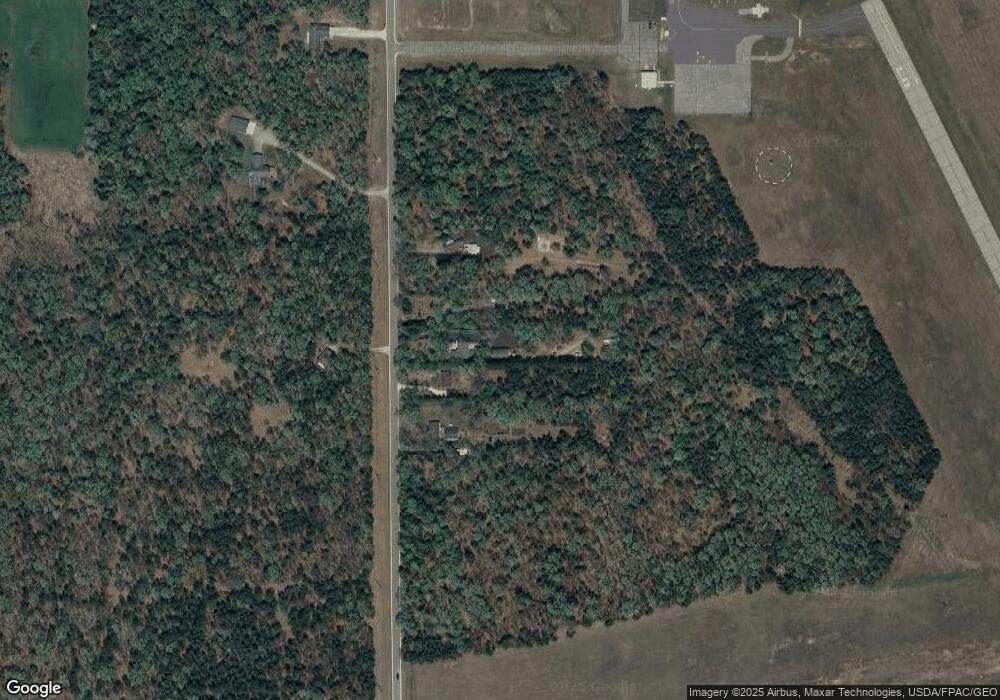
Map
Nearby Homes
- L21 W 11th Dr
- L17 W 11th Dr
- L18 W 11th Dr
- 600 E Liberty St
- 138 N Pierce St
- 104 N Pierce St
- 224 S Watts St
- 220 N Linden St
- 212 N Linden St
- 601 Superior St
- 148 S Linden St
- 208 Roberts St
- 292 Ember Dr
- 1051 Kings Way
- 797 Fiesta Dr
- 391 White Horse Ct
- 913 Kings Way
- 1974 N Cypress Ln
- 269 Winchester Rd
- 862 19th Dr
- 2034 11th Ave
- 2030 11th Ave
- 2036 11th Ave
- 2028 11th Ave
- 0 11th Ave
- 0 11th Ave Unit 374136
- 0 11th Ave Unit 1543234
- 0 11th Ave Unit 1654146
- 0 11th Ave Unit 1702429
- 0 11th Ave Unit 1720009
- 30 11th Ave
- Lot 40 11th Dr
- Lot 39 11th Dr
- Lot 38 11th Dr
- Lot 37 S Czech Ln
- Lot 36 S Czech Ln
- Lot 34 S Czech Ln
- Lot 32 W 11th Dr
- Lot 31 Czech Pass
- Lot 30 Czech Pass