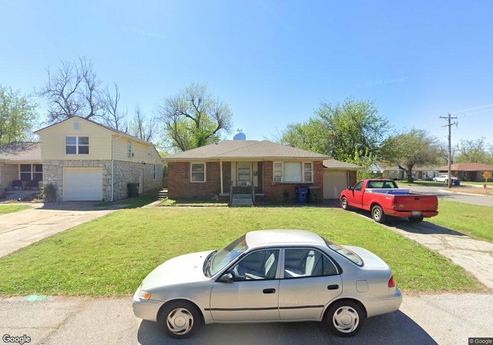
2032 Andover Ct Oklahoma City, OK 73120
Estimated Value: $126,000 - $194,000
2
Beds
1
Bath
975
Sq Ft
$166/Sq Ft
Est. Value
About This Home
This home is located at 2032 Andover Ct, Oklahoma City, OK 73120 and is currently estimated at $161,744, approximately $165 per square foot. 2032 Andover Ct is a home located in Oklahoma County with nearby schools including Ridgeview Elementary School, John Marshall Enterprise Middle School, and John Marshall Enterprise High School.
Ownership History
Date
Name
Owned For
Owner Type
Purchase Details
Closed on
Mar 27, 2008
Sold by
Naifeh Richard M and Naifeh Julie
Bought by
Rmn Properties Llc
Current Estimated Value
Purchase Details
Closed on
Oct 26, 2006
Sold by
F & P 2000 Llc
Bought by
Naifeh Richard M
Home Financials for this Owner
Home Financials are based on the most recent Mortgage that was taken out on this home.
Original Mortgage
$40,000
Interest Rate
6.28%
Mortgage Type
Purchase Money Mortgage
Create a Home Valuation Report for This Property
The Home Valuation Report is an in-depth analysis detailing your home's value as well as a comparison with similar homes in the area
Home Values in the Area
Average Home Value in this Area
Purchase History
| Date | Buyer | Sale Price | Title Company |
|---|---|---|---|
| Rmn Properties Llc | -- | First American Title & Tr Co | |
| Naifeh Richard M | $62,500 | First American Title & Tr Co |
Source: Public Records
Mortgage History
| Date | Status | Borrower | Loan Amount |
|---|---|---|---|
| Previous Owner | Naifeh Richard M | $40,000 |
Source: Public Records
Tax History Compared to Growth
Tax History
| Year | Tax Paid | Tax Assessment Tax Assessment Total Assessment is a certain percentage of the fair market value that is determined by local assessors to be the total taxable value of land and additions on the property. | Land | Improvement |
|---|---|---|---|---|
| 2024 | $1,265 | $11,055 | $2,696 | $8,359 |
| 2023 | $1,265 | $10,528 | $2,631 | $7,897 |
| 2022 | $1,156 | $10,026 | $2,260 | $7,766 |
| 2021 | $1,068 | $9,549 | $2,329 | $7,220 |
| 2020 | $1,003 | $9,095 | $2,416 | $6,679 |
| 2019 | $959 | $8,662 | $2,288 | $6,374 |
| 2018 | $867 | $8,250 | $0 | $0 |
| 2017 | $804 | $8,194 | $2,019 | $6,175 |
| 2016 | $830 | $8,414 | $2,019 | $6,395 |
| 2015 | $846 | $8,560 | $2,019 | $6,541 |
| 2014 | $827 | $8,405 | $2,079 | $6,326 |
Source: Public Records
Map
Nearby Homes
- 2028 Carlisle Rd
- 2008 Andover Ct
- 2109 Brighton Ave
- 2005 Brighton Ave
- 1913 Andover Ct
- 2128 Westchester Dr
- 2020 Hasley Dr
- 1916 Hasley Dr
- 1829 Westchester Dr
- 1823 Dorchester Dr
- 1908 Dorchester Dr
- 1738 Westchester Dr
- 1801 Drakestone Ave
- 2826 Guilford Ln
- 2824 Guilford Ln
- 1731 Carlisle Rd
- 2344 W Britton Rd
- 2802 W Britton Rd
- 2624 Dorchester Dr
- 2365 W Britton Rd
- 2024 Andover Ct
- 2033 Brighton Ave
- 2101 Andover Ct
- 2029 Brighton Ave
- 2025 Brighton Ave
- 2020 Andover Ct
- 2100 Andover Ct
- 2033 Andover Ct
- 2029 Andover Ct
- 2105 Andover Ct
- 2025 Andover Ct
- 2021 Brighton Ave
- 2104 Andover Ct
- 2100 Carlisle Rd
- 2016 Andover Ct
- 2109 Andover Ct
- 2021 Andover Ct
- 2104 Carlisle Rd
- 2017 Brighton Ave
- 2108 Andover Ct