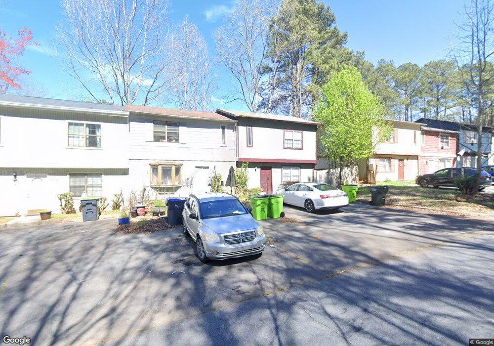
2032 Drennon Ave Austell, GA 30106
Mableton AreaEstimated Value: $157,496 - $178,000
About This Home
This home is located at 2032 Drennon Ave, Austell, GA 30106 and is currently estimated at $163,874, approximately $155 per square foot. 2032 Drennon Ave is a home located in Cobb County with nearby schools including Clarkdale Elementary School, Garrett Middle School, and South Cobb High School.
Ownership History
We collect this data history from publicly available records. To have your information removed, we recommend requesting removal directly through your county’s website.
Purchase Details
Home Financials for this Owner
Home Financials are based on the most recent Mortgage that was taken out on this home.Purchase Details
Home Values in the Area
Average Home Value in this Area
Purchase History
We collect this data history from publicly available records. To have your information removed, we recommend requesting removal directly through your county’s website.
| Date | Buyer | Sale Price | Title Company |
|---|---|---|---|
| $85,000 | -- | ||
| $46,400 | -- |
Mortgage History
We collect this data history from publicly available records. To have your information removed, we recommend requesting removal directly through your county’s website.
| Date | Status | Borrower | Loan Amount |
|---|---|---|---|
| Closed | $83,686 |
Tax History
We collect this data history from publicly available records. To have your information removed, we recommend requesting removal directly through your county’s website.
| Year | Tax Paid | Tax Assessment Tax Assessment Total Assessment is a certain percentage of the fair market value that is determined by local assessors to be the total taxable value of land and additions on the property. | Land | Improvement |
|---|---|---|---|---|
| 2025 | $1,024 | $54,104 | $16,000 | $38,104 |
| 2024 | $1,025 | $54,104 | $16,000 | $38,104 |
| 2023 | $471 | $48,316 | $10,000 | $38,316 |
| 2022 | $298 | $20,488 | $4,000 | $16,488 |
| 2021 | $298 | $20,488 | $4,000 | $16,488 |
| 2020 | $269 | $19,196 | $4,000 | $15,196 |
| 2019 | $269 | $19,196 | $4,000 | $15,196 |
| 2018 | $269 | $19,196 | $4,000 | $15,196 |
| 2017 | $171 | $14,980 | $4,000 | $10,980 |
| 2016 | $172 | $14,980 | $4,000 | $10,980 |
| 2015 | $178 | $14,980 | $4,000 | $10,980 |
| 2014 | $179 | $14,980 | $0 | $0 |
Map
- 2034 Drennon Ave
- 2026 Drennon Ave
- 2057 Lenoa Ln
- 1979 Stonecrest Ct
- 1972 Drennon Ave
- 2085 Sparrowhawk Ct
- 2082 Lenoa Ln
- 2060 Lenoa Ln
- 2050 Lenoa Ln
- 4470 Austell Rd
- 1971 Anderson Mill Rd
- 4371 Yellow Rose Dr
- 1951 Bay Beauty Ln Unit 10
- 1812 Fabian Way SW
- 4240 Weavers White Ln Unit 14
- 4302 Keats Ct
- 4576 Driftwood Dr
- 4691 Roberta Cir
- 2332 Shire Ct Unit 11
- 4387 Chelou Dr
- 2030 Drennon Ave
- 2028 Drennon Ave
- 2024 Drennon Ave
- 2036 Drennon Ave
- 2022 Drennon Ave
- 2038 Drennon Ave
- 2040 Drennon Ave
- 2020 Drennon Ave
- 2042 Drennon Ave
- 2044 Drennon Ave
- 2018 Drennon Ave
- 2016 Drennon Ave
- 2014 Drennon Ave
- 2046 Drennon Ave
- 2046 Drennon Ave Unit 2046
- 2048 Drennon Ave
- 2050 Drennon Ave
- 1971 Padgett Dr
- 1975 Padgett Dr
- 2010 Drennon Ave
Ask me questions while you tour the home.