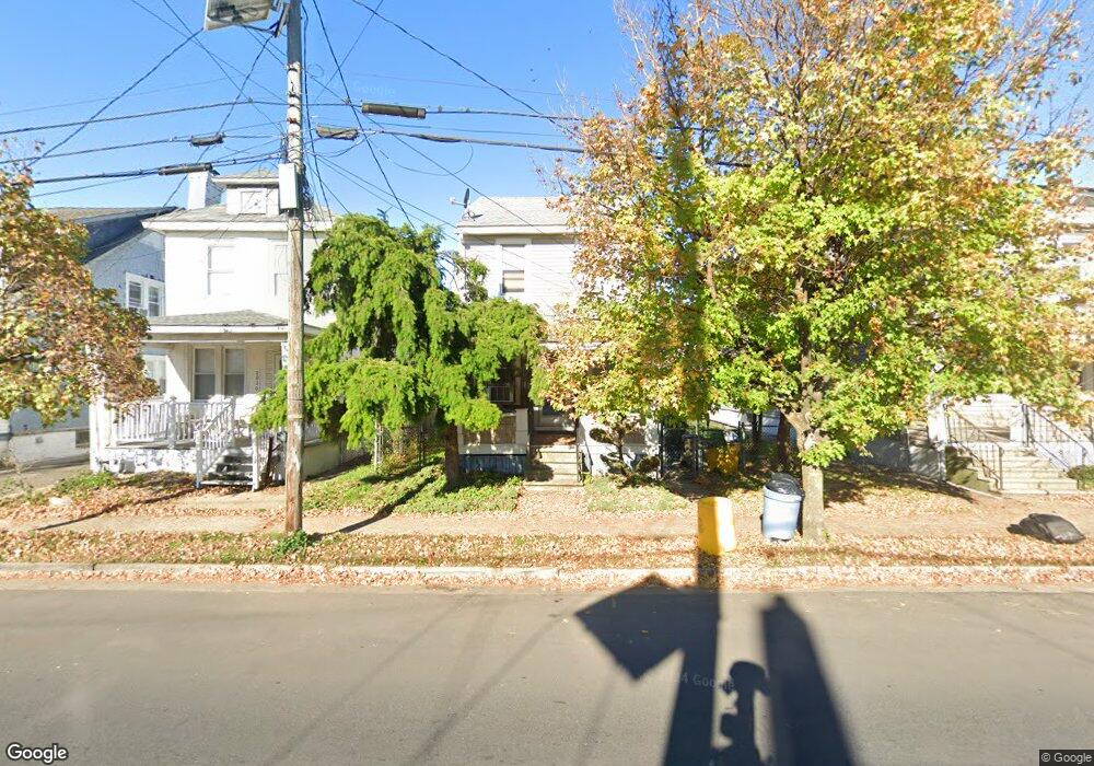
2032 Liberty St Trenton, NJ 08629
Villa Park NeighborhoodEstimated Value: $215,720 - $308,000
--
Bed
--
Bath
1,340
Sq Ft
$196/Sq Ft
Est. Value
About This Home
This home is located at 2032 Liberty St, Trenton, NJ 08629 and is currently estimated at $262,680, approximately $196 per square foot. 2032 Liberty St is a home located in Mercer County with nearby schools including Hedgepeth-Williams Elementary School, Grace A Dunn Middle School, and Trenton Central High School - Main Campus.
Ownership History
Date
Name
Owned For
Owner Type
Purchase Details
Closed on
Oct 29, 1996
Sold by
Giorgianni John
Bought by
Toccacelli Riccardio and Toccacelli Edwina
Current Estimated Value
Home Financials for this Owner
Home Financials are based on the most recent Mortgage that was taken out on this home.
Original Mortgage
$69,000
Outstanding Balance
$6,788
Interest Rate
8.07%
Mortgage Type
FHA
Estimated Equity
$255,892
Create a Home Valuation Report for This Property
The Home Valuation Report is an in-depth analysis detailing your home's value as well as a comparison with similar homes in the area
Home Values in the Area
Average Home Value in this Area
Purchase History
| Date | Buyer | Sale Price | Title Company |
|---|---|---|---|
| Toccacelli Riccardio | $79,000 | -- |
Source: Public Records
Mortgage History
| Date | Status | Borrower | Loan Amount |
|---|---|---|---|
| Open | Toccacelli Riccardio | $69,000 |
Source: Public Records
Tax History Compared to Growth
Tax History
| Year | Tax Paid | Tax Assessment Tax Assessment Total Assessment is a certain percentage of the fair market value that is determined by local assessors to be the total taxable value of land and additions on the property. | Land | Improvement |
|---|---|---|---|---|
| 2025 | $5,581 | $96,200 | $17,700 | $78,500 |
| 2024 | $5,355 | $96,200 | $17,700 | $78,500 |
| 2023 | $5,355 | $96,200 | $17,700 | $78,500 |
| 2022 | $5,251 | $96,200 | $17,700 | $78,500 |
| 2021 | $5,342 | $96,200 | $17,700 | $78,500 |
| 2020 | $5,325 | $96,200 | $17,700 | $78,500 |
| 2019 | $5,239 | $96,200 | $17,700 | $78,500 |
| 2018 | $5,015 | $96,200 | $17,700 | $78,500 |
| 2017 | $4,767 | $96,200 | $17,700 | $78,500 |
| 2016 | $5,103 | $88,700 | $18,800 | $69,900 |
| 2015 | $5,085 | $88,700 | $18,800 | $69,900 |
| 2014 | $5,061 | $88,700 | $18,800 | $69,900 |
Source: Public Records
Map
Nearby Homes
- 2026 Liberty St
- 1114 Park Ave
- 541 Emmett Ave
- 1031 Fairmount Ave
- 816 S Olden Ave
- 445 Tindall Ave
- 42 Bismarck Ave
- 657 S Olden Ave
- 1040 Melrose Ave
- 631 S Olden Ave
- 360 Tindall Ave
- 364 E Franklin St
- 877 Park Ave
- 822 Fairmount Ave
- 144 Beal St
- 907 Quinton Ave
- 51 Charlotte Ave
- 1122 Hamilton Ave
- 848 Quinton Ave
- 913 Revere Ave
- 2030 Liberty St
- 2036 Liberty St
- 2028 Liberty St
- 2038 Liberty St
- 2040 Liberty St
- 2022 Liberty St
- 25 Kearney Ave
- 29 Kearney Ave
- 31 Kearney Ave
- 19 Kearney Ave
- 2044 Liberty St
- 45 Kearney Ave
- 17 Kearney Ave
- 2027 Liberty St
- 2025 Liberty St
- 2033 Liberty St
- 2031 Liberty St
- 2021 Liberty St
- 1116 Park Ave
- 1112 Park Ave