2032 Milford Ln Harleysville, PA 19438
Estimated Value: $607,000 - $688,000
4
Beds
3
Baths
2,444
Sq Ft
$270/Sq Ft
Est. Value
About This Home
This home is located at 2032 Milford Ln, Harleysville, PA 19438 and is currently estimated at $660,450, approximately $270 per square foot. 2032 Milford Ln is a home with nearby schools including Skippack Elementary School and Perkiomen Valley Middle School West.
Ownership History
Date
Name
Owned For
Owner Type
Purchase Details
Closed on
Aug 14, 2012
Sold by
Skippack Group Llc
Bought by
Yersak Christopher S and Robinson Barbara J
Current Estimated Value
Home Financials for this Owner
Home Financials are based on the most recent Mortgage that was taken out on this home.
Original Mortgage
$293,449
Outstanding Balance
$202,233
Interest Rate
3.56%
Estimated Equity
$458,217
Purchase Details
Closed on
Aug 26, 2011
Sold by
Th Properties Lp
Bought by
Skippack Group Llc
Purchase Details
Closed on
Apr 29, 2011
Sold by
Th Properties Llc
Bought by
Skippack Group Llc
Create a Home Valuation Report for This Property
The Home Valuation Report is an in-depth analysis detailing your home's value as well as a comparison with similar homes in the area
Home Values in the Area
Average Home Value in this Area
Purchase History
| Date | Buyer | Sale Price | Title Company |
|---|---|---|---|
| Yersak Christopher S | $366,812 | None Available | |
| Skippack Group Llc | -- | None Available | |
| Skippack Group Llc | $5,129,889 | None Available |
Source: Public Records
Mortgage History
| Date | Status | Borrower | Loan Amount |
|---|---|---|---|
| Open | Yersak Christopher S | $293,449 |
Source: Public Records
Tax History Compared to Growth
Tax History
| Year | Tax Paid | Tax Assessment Tax Assessment Total Assessment is a certain percentage of the fair market value that is determined by local assessors to be the total taxable value of land and additions on the property. | Land | Improvement |
|---|---|---|---|---|
| 2025 | $8,679 | $207,270 | -- | -- |
| 2024 | $8,679 | $207,270 | -- | -- |
| 2023 | $8,373 | $207,270 | $0 | $0 |
| 2022 | $8,184 | $207,270 | $0 | $0 |
| 2021 | $8,053 | $207,270 | $0 | $0 |
| 2020 | $7,853 | $207,270 | $0 | $0 |
| 2019 | $7,752 | $207,270 | $0 | $0 |
| 2018 | $871 | $207,270 | $0 | $0 |
| 2017 | $7,420 | $207,270 | $0 | $0 |
| 2016 | $7,340 | $207,270 | $0 | $0 |
| 2015 | $7,050 | $207,270 | $0 | $0 |
| 2014 | $7,050 | $206,270 | $0 | $0 |
Source: Public Records
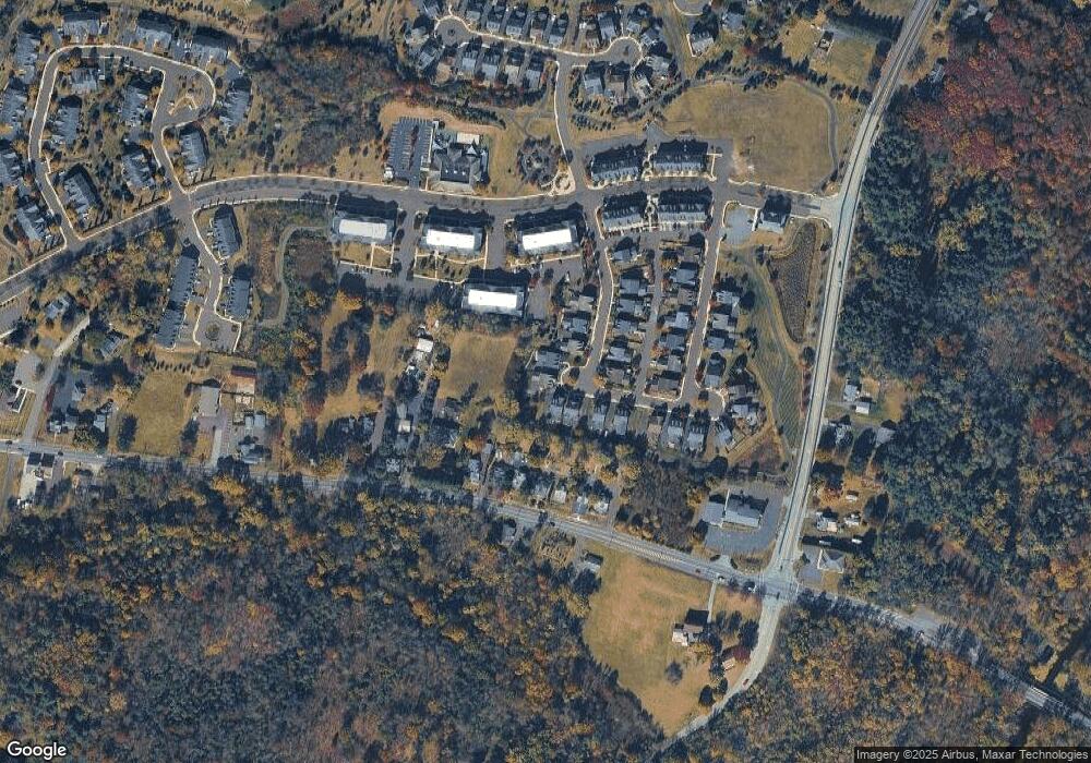
Map
Nearby Homes
- 0 Ashland Dr Unit PAMC2148822
- 20 Township Line Rd
- 3919 Gatehouse Ln
- 2061 Integrity Ave
- 901 Ashbourne Way
- 961 Harleysville Pike
- 4313 Wendy Way
- 1134 Michele Ave
- 1100 Cressman Rd
- 1056 Bridge Rd Unit 6
- 1054 Bridge Rd Unit 5
- 1052 Bridge Rd Unit 4
- 1050 Bridge Rd Unit 3
- 1048 Bridge Rd Unit 2
- 1046 Bridge Rd Unit 1
- 962 Bridge Rd
- 870 Harleysville Pike
- 974 Dogwood Ln
- 205 Green Bank Way
- 512 Championship Dr
- 2034 Milford Ln
- 2028 Milford Ln
- 2030 Milford Ln
- 2036 Piermont Way
- 2038 Piermont Way
- 2026 Milford Ln
- 2035 Piermont Way
- 2037 Piermont Way
- 2024 Milford Ln
- 2040 Piermont Way
- 3839 Skippack Pike
- 0 Milford Ln Unit 47 5494513
- 2039 Piermont Way
- 2039 Piermont Way
- 3831 Skippack Pike
- 3833 Skippack Pike
- 3940 Ashland Dr Unit 241
- 3940 Ashland Dr Unit P1
- 3940 Ashland Dr Unit 141
- 3940 Ashland Dr Unit 341