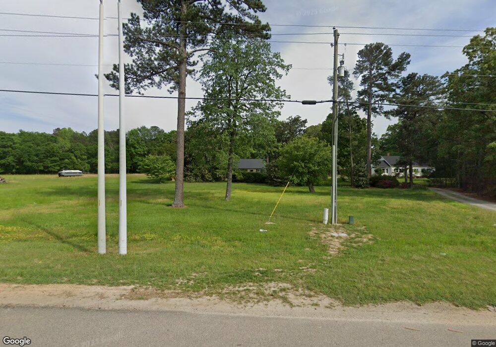
2032 N Main St Fuquay Varina, NC 27526
Estimated Value: $314,000 - $387,000
--
Bed
2
Baths
1,460
Sq Ft
$244/Sq Ft
Est. Value
About This Home
This home is located at 2032 N Main St, Fuquay Varina, NC 27526 and is currently estimated at $356,094, approximately $243 per square foot. 2032 N Main St is a home located in Wake County with nearby schools including Banks Road Elementary School and West Lake Middle.
Ownership History
Date
Name
Owned For
Owner Type
Purchase Details
Closed on
Sep 10, 2019
Sold by
Tingen Broadwell Family Llc
Bought by
Department Of Transportation
Current Estimated Value
Purchase Details
Closed on
Mar 30, 2006
Sold by
Tingen Virginia and Tingen Fred
Bought by
Tingen Broadwell Family Llc
Purchase Details
Closed on
Jan 27, 2005
Sold by
Tingen Virginia and Tingen Fred
Bought by
Tingen Broadwell Family Llc
Purchase Details
Closed on
Dec 30, 2004
Sold by
Tingen Virginia and Tingen Fred
Bought by
Broadwell Family Llc
Purchase Details
Closed on
Dec 8, 1999
Sold by
Tingen Virginia and Tingen Fred
Bought by
Tingen Broadwell Family Llc
Create a Home Valuation Report for This Property
The Home Valuation Report is an in-depth analysis detailing your home's value as well as a comparison with similar homes in the area
Home Values in the Area
Average Home Value in this Area
Purchase History
| Date | Buyer | Sale Price | Title Company |
|---|---|---|---|
| Department Of Transportation | $3,050 | None Listed On Document | |
| Tingen Broadwell Family Llc | -- | None Available | |
| Tingen Broadwell Family Llc | -- | -- | |
| Broadwell Family Llc | -- | -- | |
| Tingen Broadwell Family Llc | -- | -- |
Source: Public Records
Tax History Compared to Growth
Tax History
| Year | Tax Paid | Tax Assessment Tax Assessment Total Assessment is a certain percentage of the fair market value that is determined by local assessors to be the total taxable value of land and additions on the property. | Land | Improvement |
|---|---|---|---|---|
| 2025 | $1,827 | $282,501 | $121,600 | $160,901 |
| 2024 | $1,774 | $282,501 | $121,600 | $160,901 |
| 2023 | $1,108 | $139,571 | $73,880 | $65,691 |
| 2022 | $1,028 | $139,571 | $73,880 | $65,691 |
| 2021 | $1,001 | $139,571 | $73,880 | $65,691 |
| 2020 | $984 | $139,571 | $73,880 | $65,691 |
| 2019 | $1,253 | $151,012 | $57,180 | $93,832 |
| 2018 | $1,153 | $151,012 | $57,180 | $93,832 |
| 2017 | $1,094 | $151,012 | $57,180 | $93,832 |
| 2016 | $1,072 | $151,012 | $57,180 | $93,832 |
| 2015 | $964 | $135,892 | $60,260 | $75,632 |
| 2014 | $914 | $135,892 | $60,260 | $75,632 |
Source: Public Records
Map
Nearby Homes
- 449 Blue Aspen Dr
- 448 Blue Aspen Dr
- 0 Long St
- 0 Meadow Dr
- 420 & 502 N Main St
- 1374 Patriot Points Way
- 1004 Bren Village Ct
- 728 Spruce Meadows Ln
- 413 Spruce Meadows Ln
- 6131 Johnson Pond Rd
- 6115 Johnson Pond Rd
- 2426 Rolling Tracks Rd
- 2029 Moonraker Dr
- 2021 Terri Creek Dr
- 2006 Prairie Ridge Ct
- 3501 Amelia Grace Dr Unit Lot 71
- 2936 Jakes View Point
- 3521 Amelia Grace Dr Unit Lot 67
- 2424 Deermist Way
- 5229 Red Crimson Dr
- 2028 N Main St
- 2033 N Main St
- 2105 N Main St
- Lot 1 N Main St
- 2571 Harriet Chapel Place
- 2559 Harriet Chapel Place
- 2555 Harriet Chapel Place
- 2136 N Main St
- 2136 Us 401 Hwy
- 1912 N Main St
- 1920 N Main St
- 1916 N Main St
- TBD U S 401
- 2110 Cinema Dr
- 2110 Cinema Dr
- 2110 Cinema Dr Unit 3-1921
- 2110 Cinema Dr Unit 2-2123
- 2016 Sterling Hill Dr
- 1601 Cairo Way
- 2008 Sterling Hill Dr
