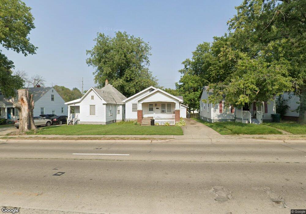
2032 N Monroe St Decatur, IL 62526
GM Square NeighborhoodEstimated Value: $36,000 - $47,000
2
Beds
2
Baths
896
Sq Ft
$49/Sq Ft
Est. Value
About This Home
This home is located at 2032 N Monroe St, Decatur, IL 62526 and is currently estimated at $43,813, approximately $48 per square foot. 2032 N Monroe St is a home located in Macon County with nearby schools including Parsons Elementary School and Stephen Decatur Middle School.
Ownership History
Date
Name
Owned For
Owner Type
Purchase Details
Closed on
Mar 13, 2008
Sold by
Weger James D and Weger Mary Jo
Bought by
Robinson Jeremy S
Current Estimated Value
Home Financials for this Owner
Home Financials are based on the most recent Mortgage that was taken out on this home.
Original Mortgage
$32,490
Outstanding Balance
$20,252
Interest Rate
5.75%
Mortgage Type
FHA
Estimated Equity
$23,561
Purchase Details
Closed on
May 1, 1996
Create a Home Valuation Report for This Property
The Home Valuation Report is an in-depth analysis detailing your home's value as well as a comparison with similar homes in the area
Home Values in the Area
Average Home Value in this Area
Purchase History
| Date | Buyer | Sale Price | Title Company |
|---|---|---|---|
| Robinson Jeremy S | $33,000 | None Available | |
| -- | $33,000 | -- |
Source: Public Records
Mortgage History
| Date | Status | Borrower | Loan Amount |
|---|---|---|---|
| Open | Robinson Jeremy S | $32,490 |
Source: Public Records
Tax History Compared to Growth
Tax History
| Year | Tax Paid | Tax Assessment Tax Assessment Total Assessment is a certain percentage of the fair market value that is determined by local assessors to be the total taxable value of land and additions on the property. | Land | Improvement |
|---|---|---|---|---|
| 2024 | $506 | $7,329 | $442 | $6,887 |
| 2023 | $520 | $7,069 | $426 | $6,643 |
| 2022 | $535 | $6,634 | $394 | $6,240 |
| 2021 | $538 | $6,196 | $368 | $5,828 |
| 2020 | $556 | $5,907 | $350 | $5,557 |
| 2019 | $556 | $5,907 | $350 | $5,557 |
| 2018 | $549 | $6,399 | $205 | $6,194 |
| 2017 | $548 | $6,569 | $210 | $6,359 |
| 2016 | $552 | $6,636 | $212 | $6,424 |
| 2015 | $534 | $7,382 | $1,072 | $6,310 |
| 2014 | $501 | $7,309 | $1,061 | $6,248 |
| 2013 | $499 | $7,584 | $1,101 | $6,483 |
Source: Public Records
Map
Nearby Homes
- 1915 N Monroe St
- 230 W Garfield Ave
- 1653 N Maple Ave
- 1770 N Church St
- 1504 N Monroe St
- 1545 N Monroe St
- 2480 N Graceland Ave
- 933 W Division St
- 1568 N Main St
- 1558 N Main St
- 240 E Olive St
- 837 W Grand Ave
- 1245 N Union St
- 363 E Pierson Ave
- 12 East Dr
- 2273 N Fairview Ave
- 141 E Packard St
- 844 N Edward St
- 1319 W Waggoner St
- 1535 N Mcclellan Ave
- 2036 N Monroe St
- 2024 N Monroe St
- 2046 N Monroe St
- 2014 N Monroe St
- 2004 N Monroe St
- 542 W Garfield Ave
- 2064 N Monroe St
- 2033 N College St
- 530 W Garfield Ave
- 2025 N College St
- 2039 N College St
- 2076 N Monroe St
- 2015 N College St
- 2049 N College St
- 1937 N Gebhart Ct
- 2047 N Monroe St
- 2005 N Monroe St
- 1926 N Monroe St
- 2053 N College St
- 2080 N Monroe St