2032 Olmstead Dr Unit 2032 Woodstock, IL 60098
Estimated Value: $242,794 - $261,000
2
Beds
2
Baths
1,107
Sq Ft
$229/Sq Ft
Est. Value
About This Home
This home is located at 2032 Olmstead Dr Unit 2032, Woodstock, IL 60098 and is currently estimated at $253,199, approximately $228 per square foot. 2032 Olmstead Dr Unit 2032 is a home located in McHenry County with nearby schools including Prairiewood Elementary School, Creekside Middle School, and Woodstock High School.
Ownership History
Date
Name
Owned For
Owner Type
Purchase Details
Closed on
May 24, 2017
Sold by
Federal National Mortgage Association
Bought by
Diamond James and Diamond Julianne M
Current Estimated Value
Home Financials for this Owner
Home Financials are based on the most recent Mortgage that was taken out on this home.
Original Mortgage
$110,320
Outstanding Balance
$91,619
Interest Rate
4.05%
Mortgage Type
New Conventional
Estimated Equity
$161,580
Purchase Details
Closed on
Jul 29, 2016
Sold by
Heirs Unknown
Bought by
Federal National Mortgage Assocition
Purchase Details
Closed on
Jul 13, 2006
Sold by
The Maples At Woodstock Llc
Bought by
Nihan Louise M
Home Financials for this Owner
Home Financials are based on the most recent Mortgage that was taken out on this home.
Original Mortgage
$129,332
Interest Rate
6.85%
Mortgage Type
Unknown
Create a Home Valuation Report for This Property
The Home Valuation Report is an in-depth analysis detailing your home's value as well as a comparison with similar homes in the area
Home Values in the Area
Average Home Value in this Area
Purchase History
| Date | Buyer | Sale Price | Title Company |
|---|---|---|---|
| Diamond James | $137,900 | None Available | |
| Federal National Mortgage Assocition | -- | None Available | |
| Nihan Louise M | $201,000 | None Available |
Source: Public Records
Mortgage History
| Date | Status | Borrower | Loan Amount |
|---|---|---|---|
| Open | Diamond James | $110,320 | |
| Previous Owner | Nihan Louise M | $129,332 |
Source: Public Records
Tax History Compared to Growth
Tax History
| Year | Tax Paid | Tax Assessment Tax Assessment Total Assessment is a certain percentage of the fair market value that is determined by local assessors to be the total taxable value of land and additions on the property. | Land | Improvement |
|---|---|---|---|---|
| 2024 | $5,473 | $67,402 | $3,901 | $63,501 |
| 2023 | $5,180 | $60,953 | $3,528 | $57,425 |
| 2022 | $4,959 | $54,094 | $3,131 | $50,963 |
| 2021 | $4,701 | $50,541 | $2,925 | $47,616 |
| 2020 | $4,515 | $48,024 | $2,779 | $45,245 |
| 2019 | $4,930 | $50,936 | $2,948 | $47,988 |
| 2018 | $4,619 | $47,442 | $3,362 | $44,080 |
| 2017 | $5,380 | $46,000 | $3,164 | $42,836 |
| 2016 | $5,949 | $47,138 | $2,930 | $44,208 |
| 2013 | -- | $41,346 | $5,364 | $35,982 |
Source: Public Records
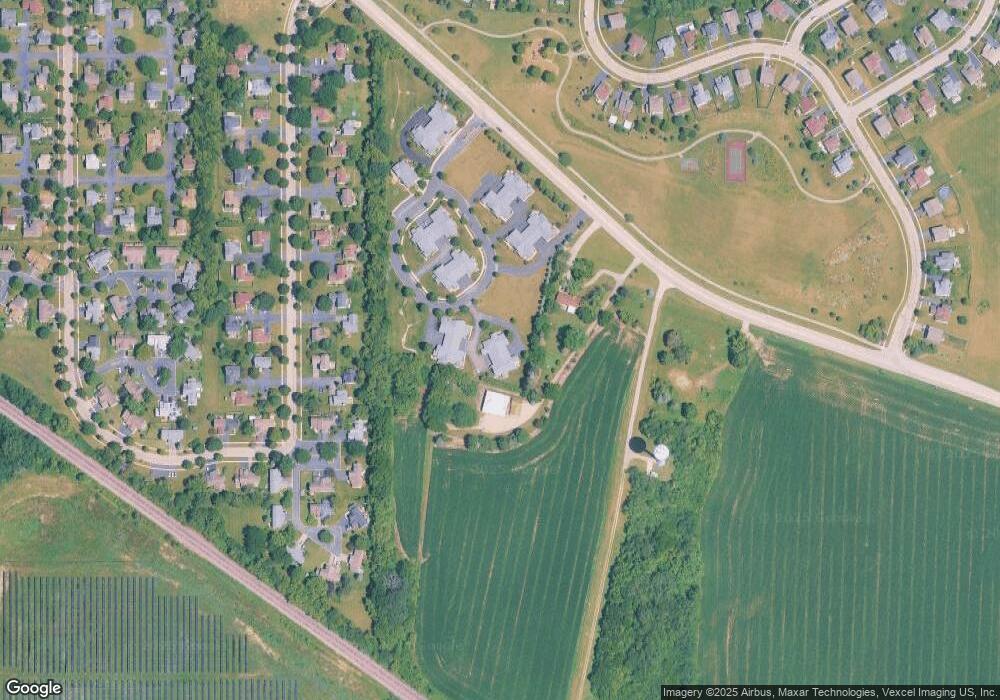
Map
Nearby Homes
- Lot 5 Olmstead Dr
- Lot 2 Olmstead Dr
- lot 1 Mcconnell Rd
- 2525 Applewood Ln
- 2108 Aspen Dr
- 2101 Preswick Ln
- 2019 Aspen Dr
- 2021 Aspen Dr
- Lot #23 Ridgemoor Trail
- Lot #22 Ridgemoor Trail
- Lot #21 Ridgemoor Trail
- Lot #34 W Longwood Dr
- Lot #33 W Longwood Dr
- Lot #28 W Longwood Dr
- Lot #29 W Longwood Dr
- 2417 Fairview Cir
- 0000 Lake Shore Dr
- 1480 W Longwood Dr
- 1624 Bull Valley Dr
- 1601 Bobolink Cir
- 2038 Olmstead Dr Unit 6C
- 2032 Olmstead Dr
- 2034 Olmstead Dr
- 2036 Olmstead Dr Unit 6D
- 2036 Olmstead Dr Unit 2036
- 2036 Olmstead Dr Unit A
- 10501 Mcconnell Rd
- 2040 Olmstead Dr Unit 7D
- 2044 Olmstead Dr Unit 7C
- 2042 Olmstead Dr Unit 7B
- 2046 Olmstead Dr
- 2040 Olmstead Dr Unit D
- 2025 Olmstead Dr Unit 8A
- 2025 Olmstead Dr
- 2023 Olmstead Dr Unit 8D
- 2027 Olmstead Dr Unit 8C
- 2021 Olmstead Dr
- 2021 Olmstead Dr Unit 8B
- 2020 Olmstead Dr Unit 4B
- 2022 Olmstead Dr Unit 4D