2032 S State Route 53 Fremont, OH 43420
Estimated Value: $266,000 - $1,210,869
4
Beds
1
Bath
1,348
Sq Ft
$548/Sq Ft
Est. Value
About This Home
This home is located at 2032 S State Route 53, Fremont, OH 43420 and is currently estimated at $738,435, approximately $547 per square foot. 2032 S State Route 53 is a home located in Sandusky County with nearby schools including Fremont Ross High School.
Ownership History
Date
Name
Owned For
Owner Type
Purchase Details
Closed on
May 28, 2025
Sold by
Byron L Overmyer Irrevocable Trust and Mckean Pamela A
Bought by
Corine R Couch Irrevocable Trust and Burns
Current Estimated Value
Purchase Details
Closed on
May 11, 2015
Sold by
Mckean Pamela A and The Byron I Overmyer Irrevocab
Bought by
Couch Corine R
Purchase Details
Closed on
Dec 28, 2012
Sold by
Overmyer Byron L and Couch Corine R
Bought by
Mckean Pamela A and The Byron L Overmyer Irrevocab
Purchase Details
Closed on
Mar 9, 2005
Sold by
Estate Of Gurtha M Overmyer
Bought by
Overmyer Byron L
Purchase Details
Closed on
Oct 6, 2004
Sold by
Estate Of Gurtha M Overmyer
Bought by
Overmyer Byron L
Create a Home Valuation Report for This Property
The Home Valuation Report is an in-depth analysis detailing your home's value as well as a comparison with similar homes in the area
Home Values in the Area
Average Home Value in this Area
Purchase History
| Date | Buyer | Sale Price | Title Company |
|---|---|---|---|
| Corine R Couch Irrevocable Trust | -- | None Listed On Document | |
| Corine R Couch Irrevocable Trust | -- | None Listed On Document | |
| Couch Corine R | -- | None Available | |
| Mckean Pamela A | -- | Attorney | |
| Overmyer Byron L | -- | -- | |
| Overmyer Byron L | -- | -- |
Source: Public Records
Tax History Compared to Growth
Tax History
| Year | Tax Paid | Tax Assessment Tax Assessment Total Assessment is a certain percentage of the fair market value that is determined by local assessors to be the total taxable value of land and additions on the property. | Land | Improvement |
|---|---|---|---|---|
| 2024 | $5,792 | $395,640 | $353,780 | $41,860 |
| 2023 | $5,792 | $321,650 | $287,630 | $34,020 |
| 2022 | $3,929 | $321,650 | $287,630 | $34,020 |
| 2021 | $4,047 | $321,650 | $287,630 | $34,020 |
| 2020 | $4,694 | $283,330 | $255,920 | $27,410 |
| 2019 | $4,689 | $283,330 | $255,920 | $27,410 |
| 2018 | $4,565 | $283,330 | $255,920 | $27,410 |
| 2017 | $6,270 | $273,420 | $247,800 | $25,620 |
| 2016 | $5,505 | $273,250 | $247,800 | $25,450 |
| 2015 | $5,419 | $273,250 | $247,800 | $25,450 |
| 2014 | $3,574 | $192,750 | $168,950 | $23,800 |
| 2013 | $3,500 | $192,750 | $168,950 | $23,800 |
Source: Public Records
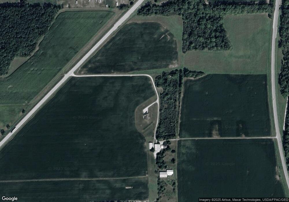
Map
Nearby Homes
- 855 Rambo Ln
- 2231 County Road 23
- 704 County Road 126
- 2595 County Road 13
- 43 Sun Valley Dr Unit 43
- 2484 Buckland Ave
- 17 Adams Dr
- 0 State Route 590 Unit 6136844
- 350 Conner Dr
- 1970 Morrison Rd
- 1818 Finley Dr
- 41 Brookview Dr
- 10 Meadowbrook Dr
- 10 Meadowbrook Ln
- 822 Upton Rd
- 64 River Run Dr Unit J
- 64 River Run Dr
- 1832 Myrtle St
- 135 Briarwood Cir
- 1719 Buckland Ave
- 1951 State Route 12
- 1959 State Route 12
- 1803 State Route 12
- 1850 State Route 12
- 1381 County Road 31
- 1393 County Road 31
- 1401 County Road 31
- 2024 Ohio 12
- 1407 County Road 31
- 2024 State Route 12
- 1411 County Road 31
- 1433 County Road 31
- 1396 County Road 31
- 1414 County Road 31
- 1455 County Road 31
- 1471 County Road 31
- 1426 County Road 31
- 1244 State Route 12
- 1466 County Road 31
- 1440 County Road 31