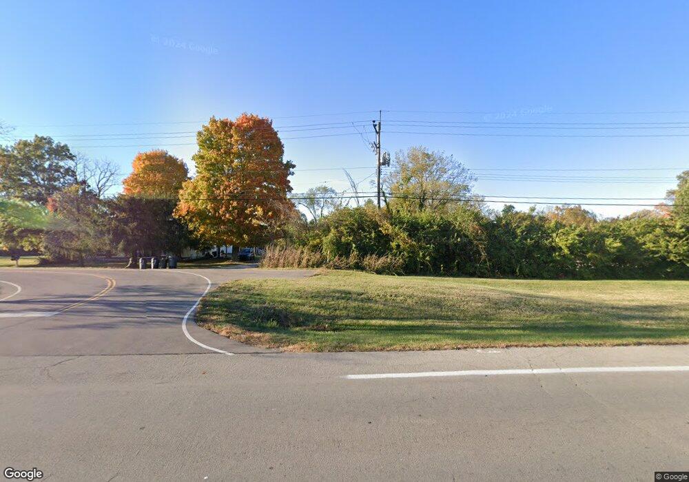
2032 State Route 28 Goshen, OH 45122
Estimated Value: $243,000 - $353,000
3
Beds
1
Bath
1,097
Sq Ft
$254/Sq Ft
Est. Value
About This Home
This home is located at 2032 State Route 28, Goshen, OH 45122 and is currently estimated at $278,226, approximately $253 per square foot. 2032 State Route 28 is a home located in Clermont County with nearby schools including Marr/Cook Elementary School, Spaulding Elementary School, and Goshen Middle School.
Ownership History
Date
Name
Owned For
Owner Type
Purchase Details
Closed on
Apr 15, 2022
Sold by
Michael Garner Carl
Bought by
Garner Carl Michael and Garner Melvin Ronald
Current Estimated Value
Purchase Details
Closed on
Dec 7, 2017
Sold by
Drake John Michael and Drake Elizabeth J
Bought by
Drake Roger J and Drake Christina M
Purchase Details
Closed on
Jun 2, 2010
Sold by
Garner Derrick C B and Garner Elizabeth
Bought by
Garner Carl Michael
Create a Home Valuation Report for This Property
The Home Valuation Report is an in-depth analysis detailing your home's value as well as a comparison with similar homes in the area
Home Values in the Area
Average Home Value in this Area
Purchase History
| Date | Buyer | Sale Price | Title Company |
|---|---|---|---|
| Garner Carl Michael | -- | None Listed On Document | |
| Drake Roger J | -- | -- | |
| Garner Carl Michael | -- | Attorney |
Source: Public Records
Tax History Compared to Growth
Tax History
| Year | Tax Paid | Tax Assessment Tax Assessment Total Assessment is a certain percentage of the fair market value that is determined by local assessors to be the total taxable value of land and additions on the property. | Land | Improvement |
|---|---|---|---|---|
| 2024 | $2,032 | $55,170 | $22,510 | $32,660 |
| 2023 | $1,997 | $55,170 | $22,510 | $32,660 |
| 2022 | $1,573 | $40,640 | $16,000 | $24,640 |
| 2021 | $1,583 | $40,640 | $16,000 | $24,640 |
| 2020 | $1,479 | $40,640 | $16,000 | $24,640 |
| 2019 | $1,175 | $33,040 | $14,280 | $18,760 |
| 2018 | $1,180 | $33,040 | $14,280 | $18,760 |
| 2017 | $1,604 | $33,040 | $14,280 | $18,760 |
| 2016 | $1,392 | $26,880 | $11,620 | $15,260 |
| 2015 | $1,256 | $26,880 | $11,620 | $15,260 |
| 2014 | $1,256 | $26,880 | $11,620 | $15,260 |
| 2013 | $1,177 | $26,320 | $12,320 | $14,000 |
Source: Public Records
Map
Nearby Homes
- 2055 Ohio 28
- 6845 Cozaddale Rd
- 1947 Main St
- 6867 Cozaddale Rd
- 2043 Pebble Grove Way
- 2039 Pebble Grove Way
- 2037 Pebble Grove Way
- 2033 Pebble Grove Way
- 2038 Pebble Grove Way
- 2031 Pebble Grove Way
- 2034 Pebble Grove Way
- 2027 Pebble Grove Way
- 2032 Pebble Grove Way
- 2030 Pebble Grove Way
- 2213 Ohio 132
- 2023 Pebble Grove Way
- 2021 Pebble Grove Way
- 2022 Pebble Grove Way
- 2019 Pebble Grove Way
- 2015 Pebble Grove Way
- 2048 State Route 28
- 2050 State Route 28
- 1998 Old State Route 28
- 2054 State Route 28
- 2054 Ohio 28
- 2066 State Route 132
- 6788 Cozaddale Rd
- 2059 Ohio 28
- 2055 State Route 28
- 2055 State Route 28
- 2059 State Route 28
- 6822 Cozaddale Rd
- 1996 State Route 28
- 0 Ohio 132
- 43.01ac Ohio 132
- 101 Ohio 132
- 0 Ohio 132
- 6297 Ohio 132
- 2074 State Route 132
- 2066 Ohio 28
