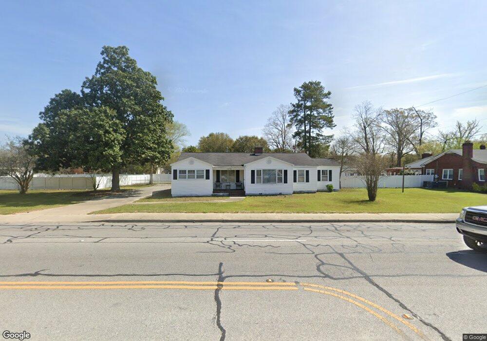
2032 Us 52 Hwy Scranton, SC 29591
Estimated Value: $191,000 - $252,000
4
Beds
2
Baths
2,280
Sq Ft
$93/Sq Ft
Est. Value
About This Home
This home is located at 2032 Us 52 Hwy, Scranton, SC 29591 and is currently estimated at $212,876, approximately $93 per square foot. 2032 Us 52 Hwy is a home located in Florence County with nearby schools including Ronald E. McNair Junior High School and Lake City High School.
Ownership History
Date
Name
Owned For
Owner Type
Purchase Details
Closed on
Jan 27, 2014
Sold by
Myers Boyce B and Myers Leviner Brenda Elizabeth
Bought by
Burgess Terina
Current Estimated Value
Home Financials for this Owner
Home Financials are based on the most recent Mortgage that was taken out on this home.
Original Mortgage
$117,346
Outstanding Balance
$89,155
Interest Rate
4.48%
Mortgage Type
New Conventional
Estimated Equity
$123,721
Purchase Details
Closed on
May 20, 2013
Sold by
Estate Of Elizabeth J Myers
Bought by
Myers Boyce B and Leviner Brenda Elizabeth Myers
Create a Home Valuation Report for This Property
The Home Valuation Report is an in-depth analysis detailing your home's value as well as a comparison with similar homes in the area
Home Values in the Area
Average Home Value in this Area
Purchase History
| Date | Buyer | Sale Price | Title Company |
|---|---|---|---|
| Burgess Terina | $115,000 | -- | |
| Myers Boyce B | -- | -- |
Source: Public Records
Mortgage History
| Date | Status | Borrower | Loan Amount |
|---|---|---|---|
| Open | Burgess Terina | $117,346 | |
| Closed | Burgess Terina | $117,346 |
Source: Public Records
Tax History Compared to Growth
Tax History
| Year | Tax Paid | Tax Assessment Tax Assessment Total Assessment is a certain percentage of the fair market value that is determined by local assessors to be the total taxable value of land and additions on the property. | Land | Improvement |
|---|---|---|---|---|
| 2024 | $341 | $6,497 | $396 | $6,101 |
| 2023 | $315 | $4,591 | $396 | $4,195 |
| 2022 | $378 | $4,591 | $396 | $4,195 |
| 2021 | $343 | $4,590 | $0 | $0 |
| 2020 | $407 | $4,590 | $0 | $0 |
| 2019 | $411 | $4,591 | $396 | $4,195 |
| 2018 | $342 | $4,590 | $0 | $0 |
| 2017 | $367 | $4,590 | $0 | $0 |
| 2016 | $355 | $4,590 | $0 | $0 |
| 2015 | $353 | $4,590 | $0 | $0 |
| 2014 | $221 | $0 | $0 | $0 |
Source: Public Records
Map
Nearby Homes
- 1803 School Dr
- 342 Lee St
- 1929 Boyd St
- LT 3 & LT 4 Anderson Bridge Rd
- Tract 6 State Road S-21-881
- Red Barn Tract State Road S-21-881
- Tract 3 State Road S-21-881
- Tract 4 State Road S-21-881
- 1309 N Matthews Rd
- 109ac Trifalia Rd
- 109 Acres - TBD Trifalia Rd
- 109 Acres Unit TBD Trifalia Road
- 114 Lake St
- LOTS 3 & 4 Anderson Bridge Rd
- 15 Dansing St
- 626 W Main St
- 0 W Main St & Devonshire Rd
- 212 Florence Ave
- TBD Winners Cir Unit Lot 28
- TBD Winners Cir
- 2022 Us 52 Hwy
- TBT Highway 52
- 2044 Us 52 Hwy
- 2023 E Railroad Ave
- 2025 Us 52 Hwy
- 2058 Us 52 Hwy
- 2964 Highway 52
- TBD Highway 52
- 2058 U S 52
- 210 Fountain St
- 2029 E Railroad Ave
- 2068 1/2 Us 52 Hwy
- 204 Lee St
- 2034 Us 52 Hwy
- 2034 Us Hwy 52
- TBT Railroad Ave
- 1905 E Railroad Ave
- 1909 Us 52 Hwy
- TBD E Railroad Ave
- 105 E Main St