2032 W 6450 S Rexburg, ID 83440
Estimated Value: $609,000
6
Beds
3
Baths
2,514
Sq Ft
$242/Sq Ft
Est. Value
About This Home
This home is located at 2032 W 6450 S, Rexburg, ID 83440 and is currently priced at $609,000, approximately $242 per square foot. 2032 W 6450 S is a home located in Madison County with nearby schools including South Fork Elementary School, Madison Junior High School, and Madison Senior High School.
Ownership History
Date
Name
Owned For
Owner Type
Purchase Details
Closed on
Mar 18, 2021
Sold by
Rasmussen Annalyn and Hte Ironside Trust
Bought by
Rasmussen Ryan N and Rasmussen Annalyn B
Current Estimated Value
Home Financials for this Owner
Home Financials are based on the most recent Mortgage that was taken out on this home.
Original Mortgage
$250,000
Outstanding Balance
$224,221
Interest Rate
2.73%
Mortgage Type
Credit Line Revolving
Purchase Details
Closed on
Jul 23, 2019
Sold by
Rasmussen Ryan N and Rasmussen Annalyn B
Bought by
Rasmussen Annalyn
Purchase Details
Closed on
Oct 31, 2012
Sold by
Rasmussen Ryan N and Rasmussen Annalyn B
Bought by
Rasmussen Ryan N and Rasmussen Annalyn B
Create a Home Valuation Report for This Property
The Home Valuation Report is an in-depth analysis detailing your home's value as well as a comparison with similar homes in the area
Home Values in the Area
Average Home Value in this Area
Purchase History
| Date | Buyer | Sale Price | Title Company |
|---|---|---|---|
| Rasmussen Ryan N | -- | First American Title Rexburg | |
| Rasmussen Annalyn | -- | None Available | |
| Rasmussen Ryan N | -- | -- |
Source: Public Records
Mortgage History
| Date | Status | Borrower | Loan Amount |
|---|---|---|---|
| Open | Rasmussen Ryan N | $250,000 |
Source: Public Records
Tax History Compared to Growth
Tax History
| Year | Tax Paid | Tax Assessment Tax Assessment Total Assessment is a certain percentage of the fair market value that is determined by local assessors to be the total taxable value of land and additions on the property. | Land | Improvement |
|---|---|---|---|---|
| 2021 | $6,349 | $653,377 | $36,200 | $617,177 |
| 2020 | $5,285 | $538,965 | $28,700 | $510,265 |
| 2019 | $5,386 | $491,449 | $28,700 | $462,749 |
| 2018 | $5,537 | $491,449 | $28,700 | $462,749 |
| 2017 | $5,085 | $470,324 | $28,700 | $441,624 |
| 2016 | $4,799 | $441,843 | $26,200 | $415,643 |
| 2015 | $1,955 | $224,223 | $0 | $0 |
| 2013 | -- | $224,223 | $0 | $0 |
Source: Public Records
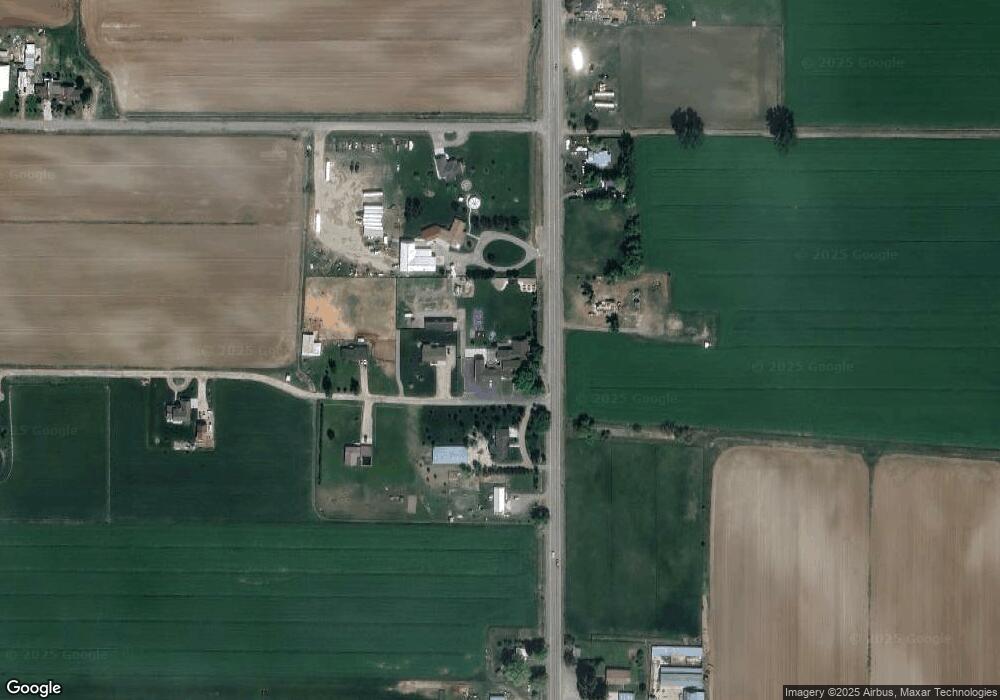
Map
Nearby Homes
- 2157 W 6450 S
- 6756 S 2000 W
- TBD Lasso Ln
- 6553 Lasso Ln
- TBD Bronco Ct
- L 1 B 1 Highfield Ln
- TBD Highfield Ln
- 4986 S 2000 W Unit 28
- 4986 S 2000 W Unit 48
- 4986 S 2000 W Unit 41
- 2188 S 550 W
- 4961 Nordic Way
- 5378 S 3100 W
- TBD Glacier View Dr
- 7869 S 400 W
- 2072 W 4700 S
- 3324 W 5200 S
- 7700 S 400 W
- 7895 S 400 W
- 4064 S 2000 W