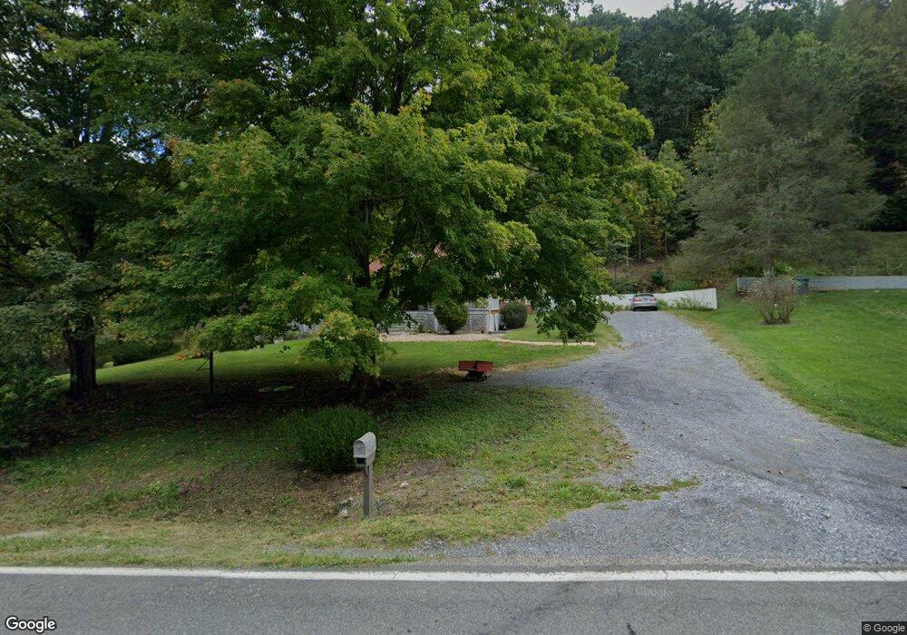
2032 W Midland Trail Unit RT 60 Lexington, VA 24450
Estimated Value: $255,000 - $298,928
4
Beds
1
Bath
1,744
Sq Ft
$157/Sq Ft
Est. Value
About This Home
This home is located at 2032 W Midland Trail Unit RT 60, Lexington, VA 24450 and is currently estimated at $273,732, approximately $156 per square foot. 2032 W Midland Trail Unit RT 60 is a home located in Rockbridge County with nearby schools including Rockbridge County High School.
Ownership History
Date
Name
Owned For
Owner Type
Purchase Details
Closed on
Jun 2, 2021
Sold by
Hardenbergh Charles V and Hardenbergh Marl L
Bought by
Hodges Timothy M and Hodges Victoria F
Current Estimated Value
Home Financials for this Owner
Home Financials are based on the most recent Mortgage that was taken out on this home.
Original Mortgage
$137,010
Outstanding Balance
$124,045
Interest Rate
2.9%
Mortgage Type
New Conventional
Estimated Equity
$149,687
Purchase Details
Closed on
Oct 19, 2005
Sold by
Tiger Relocation Co
Bought by
Hardenbergh Charles and Hardenbergh Mari L
Home Financials for this Owner
Home Financials are based on the most recent Mortgage that was taken out on this home.
Original Mortgage
$120,650
Interest Rate
6.5%
Mortgage Type
New Conventional
Create a Home Valuation Report for This Property
The Home Valuation Report is an in-depth analysis detailing your home's value as well as a comparison with similar homes in the area
Home Values in the Area
Average Home Value in this Area
Purchase History
| Date | Buyer | Sale Price | Title Company |
|---|---|---|---|
| Hodges Timothy M | $182,680 | Stewart Title Guarantee Co | |
| Hardenbergh Charles | $127,000 | Gemini Title & Escrow Llc |
Source: Public Records
Mortgage History
| Date | Status | Borrower | Loan Amount |
|---|---|---|---|
| Open | Hodges Timothy M | $137,010 | |
| Previous Owner | Hardenbergh Charles | $120,650 |
Source: Public Records
Tax History Compared to Growth
Tax History
| Year | Tax Paid | Tax Assessment Tax Assessment Total Assessment is a certain percentage of the fair market value that is determined by local assessors to be the total taxable value of land and additions on the property. | Land | Improvement |
|---|---|---|---|---|
| 2025 | $1,477 | $242,200 | $30,000 | $212,200 |
| 2024 | $1,477 | $242,200 | $30,000 | $212,200 |
| 2023 | $1,477 | $242,200 | $30,000 | $212,200 |
| 2022 | $1,275 | $172,300 | $25,000 | $147,300 |
| 2021 | $1,275 | $172,300 | $25,000 | $147,300 |
| 2020 | $1,275 | $172,300 | $25,000 | $147,300 |
| 2019 | $1,258 | $172,300 | $25,000 | $147,300 |
| 2018 | $1,206 | $172,300 | $25,000 | $147,300 |
| 2017 | $1,206 | $172,300 | $25,000 | $147,300 |
| 2016 | $1,227 | $167,000 | $35,000 | $132,000 |
| 2015 | -- | $0 | $0 | $0 |
| 2014 | -- | $0 | $0 | $0 |
| 2013 | -- | $0 | $0 | $0 |
Source: Public Records
Map
Nearby Homes
- 2020 W Midland Trail
- 260 Trillium Trail
- 825 Still House Dr
- tbd Still House Dr
- tbd Still House Dr Unit 59-A-87
- 262 Shenandoah View Dr
- Lot 1 - Shenandoah View Dr
- 327 Spring Farm Rd
- 158 Forest Hill View
- 150 Forest Hill View
- 10 ac. TBD Adair Hill Dr
- 621 Adair Hill Dr
- 842 Adair Hill Dr
- 741 Furrs Mill Rd
- 725 White Rock Rd
- 210 Alum Springs Rd
- Lot 14 Wenlock Dr
- 506 Lime Kiln Rd
- TBD White Rock Rd
- 8.22 acs Poplar Place Ln
- 2032 W Midland Trail
- 2053 W Midland Trail
- 2053 W Midland Trail Unit rt 60
- 2066 W Midland Trail
- 2011 W Midland Trail
- 2070 W Midland Trail
- 1980 W Midland Trail
- 2084 W Midland Trail
- 1977 W Midland Trail
- 45 Trillium Trail
- 1947 W Midland Trail
- 1890 W Midland Trail
- 1881 W Midland Trail
- 1917 W Midland Trail
- 1917 W Midland Trail Unit RT 60
- 2156 W Midland Trail
- 8 Mount Peak Ln
- 8 Mount Peak Ln
- 1904 W Midland Trail
- 36 Mount Peak Ln