Estimated Value: $273,867 - $500,000
Studio
--
Bath
1,080
Sq Ft
$393/Sq Ft
Est. Value
About This Home
This home is located at 20325C State Route 20, Twisp, WA 98856 and is currently estimated at $424,467, approximately $393 per square foot. 20325C State Route 20 is a home with nearby schools including Methow Valley Elementary School, Liberty Bell Junior/Senior High School, and Methow Valley Independent Learning Center.
Ownership History
Date
Name
Owned For
Owner Type
Purchase Details
Closed on
Apr 1, 2021
Sold by
Larson Gladys M
Bought by
Gladys M Larson Living Trust and Mcmillan
Current Estimated Value
Purchase Details
Closed on
Dec 17, 2020
Sold by
Mcmillan Troy A and Gladys M Larson Living Trust
Bought by
Jones Laura L
Purchase Details
Closed on
Nov 19, 2018
Sold by
Larson Gladys May and Marlin And Gladys Larson Trust
Bought by
Larson Gladys M and Mcmillan Troy A
Create a Home Valuation Report for This Property
The Home Valuation Report is an in-depth analysis detailing your home's value as well as a comparison with similar homes in the area
Purchase History
| Date | Buyer | Sale Price | Title Company |
|---|---|---|---|
| Gladys M Larson Living Trust | -- | -- | |
| Jones Laura L | -- | None Available | |
| Larson Gladys M | -- | None Available |
Source: Public Records
Tax History
| Year | Tax Paid | Tax Assessment Tax Assessment Total Assessment is a certain percentage of the fair market value that is determined by local assessors to be the total taxable value of land and additions on the property. | Land | Improvement |
|---|---|---|---|---|
| 2025 | $1,828 | $249,700 | $60,000 | $189,700 |
| 2024 | $1,828 | $230,000 | $60,000 | $170,000 |
| 2023 | $1,642 | $190,800 | $60,000 | $130,800 |
| 2022 | $1,504 | $139,200 | $40,000 | $99,200 |
| 2021 | $1,729 | $139,200 | $40,000 | $99,200 |
| 2020 | $1,448 | $139,200 | $40,000 | $99,200 |
| 2019 | $1,390 | $116,300 | $40,000 | $76,300 |
| 2018 | $1,317 | $116,300 | $40,000 | $76,300 |
| 2017 | $1,197 | $116,300 | $40,000 | $76,300 |
| 2016 | $1,141 | $112,500 | $36,000 | $76,500 |
| 2015 | $1,055 | $112,500 | $36,000 | $76,500 |
| 2013 | -- | $112,500 | $36,000 | $76,500 |
Source: Public Records
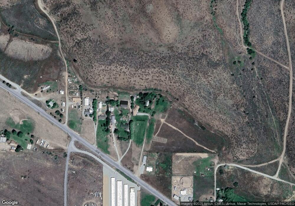
Map
Nearby Homes
- 1221 Riverside Ave
- 1110 Riverside Ave
- 0 Lot 2 Amended Surface Short Plat
- 805 Marble St
- 318 Lombard St
- 136 Johnson St
- 115 Johnson St N Unit 1,2,3
- 140 Twisp Ave W Unit 204
- 2992 Washington 153
- 121 Finley Canyon Rd
- 48 Thurlow Rd
- 54B Ross Rd Unit B
- 245 Twisp Carlton Rd
- 143 Harrier Hill Rd
- 87 Vintin Rd
- 1941 Washington 153
- 7 Howerton Rd
- 300 Cascadian Ct Unit 15
- 5 Chase Rd
- 302 Cascadian Ct Unit 18
- 20325 State Route 20 Unit A
- 20325 State Route 20 Unit A
- 20321 State Route 20
- 20321 State Route 20 Unit A
- 20321 State Route 20
- 20319 State Route 20
- 20317 State Route 20
- 8 Stardust Dr
- 20332 State Route 20
- 20339 State Route 20
- 20341A State Route 20
- 11 Ayers Rd
- 20340 State Route 20
- 2 Ayers Rd
- 4 Ayers Rd
- 27 Twisp Airport Rd
- 14 Ayers Rd
- 29 Twisp Airport Rd
- 23 Twisp Airport Rd
- 20303 State Route 20
Your Personal Tour Guide
Ask me questions while you tour the home.