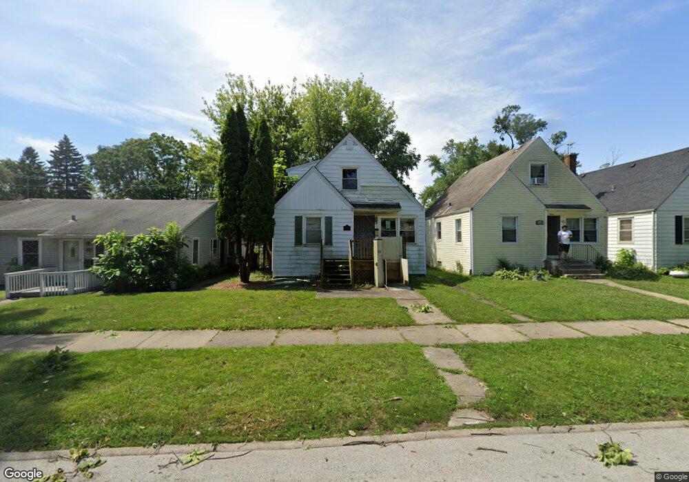
2033 170th St Hazel Crest, IL 60429
Hazel Crest Proper NeighborhoodEstimated Value: $125,887 - $169,000
3
Beds
2
Baths
742
Sq Ft
$207/Sq Ft
Est. Value
About This Home
This home is located at 2033 170th St, Hazel Crest, IL 60429 and is currently estimated at $153,472, approximately $206 per square foot. 2033 170th St is a home located in Cook County with nearby schools including Thornwood High School.
Ownership History
Date
Name
Owned For
Owner Type
Purchase Details
Closed on
Jan 21, 2003
Sold by
Se Baker Josephine M
Bought by
Beard Anissa S
Current Estimated Value
Home Financials for this Owner
Home Financials are based on the most recent Mortgage that was taken out on this home.
Original Mortgage
$93,900
Outstanding Balance
$45,877
Interest Rate
8.46%
Estimated Equity
$107,595
Purchase Details
Closed on
Aug 11, 1999
Sold by
Baker Josephine M and Baker Stephen William
Bought by
Se Baker Josephine M and Josephine M Baker Revocable Self Declara
Purchase Details
Closed on
May 1, 1998
Sold by
Baker Josephine M
Bought by
Baker Josephine M and Baker Stephen William
Create a Home Valuation Report for This Property
The Home Valuation Report is an in-depth analysis detailing your home's value as well as a comparison with similar homes in the area
Home Values in the Area
Average Home Value in this Area
Purchase History
| Date | Buyer | Sale Price | Title Company |
|---|---|---|---|
| Beard Anissa S | $94,000 | Git | |
| Se Baker Josephine M | -- | Chicago Title Insurance Co | |
| Baker Josephine M | -- | -- |
Source: Public Records
Mortgage History
| Date | Status | Borrower | Loan Amount |
|---|---|---|---|
| Open | Beard Anissa S | $93,900 |
Source: Public Records
Tax History
| Year | Tax Paid | Tax Assessment Tax Assessment Total Assessment is a certain percentage of the fair market value that is determined by local assessors to be the total taxable value of land and additions on the property. | Land | Improvement |
|---|---|---|---|---|
| 2025 | $5,562 | $12,000 | $1,261 | $10,739 |
| 2024 | $5,562 | $12,000 | $1,261 | $10,739 |
| 2023 | $1,975 | $12,000 | $1,261 | $10,739 |
| 2022 | $1,975 | $5,702 | $1,081 | $4,621 |
| 2021 | $1,996 | $5,702 | $1,081 | $4,621 |
| 2020 | $2,051 | $5,702 | $1,081 | $4,621 |
| 2019 | $2,566 | $6,711 | $991 | $5,720 |
| 2018 | $2,493 | $6,711 | $991 | $5,720 |
| 2017 | $2,456 | $6,711 | $991 | $5,720 |
| 2016 | $2,566 | $6,294 | $901 | $5,393 |
| 2015 | $2,407 | $6,294 | $901 | $5,393 |
| 2014 | $2,412 | $6,294 | $901 | $5,393 |
| 2013 | $2,472 | $6,816 | $901 | $5,915 |
Source: Public Records
Map
Nearby Homes
- 2030 170th St
- 17026 Bulger Ave
- 17031 Trapet Ave
- 2131 170th St
- 16930 Winchester Ave
- 17046 Winchester Ave
- 16963 Winchester Ave
- 1913 170th St
- 16840 Bulger Ave
- 2159 171st St
- 16927 Crane Ave
- 16876 Head Ave
- 16802 Bulger Ave
- 17092 Lincoln St
- 17031 Anthony Ave
- 16735 Dixie Hwy
- 16781 Head Ave
- 17092 Jodave Ave
- 16841 Anthony Ave
- 16784 Crane Ave
Your Personal Tour Guide
Ask me questions while you tour the home.