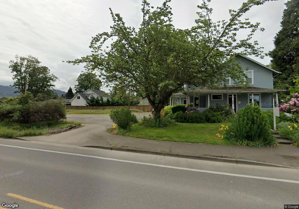
2033 Address Unknown Ave Eugene, OR 97408
Cal Young NeighborhoodEstimated Value: $356,000 - $456,000
3
Beds
1
Bath
943
Sq Ft
$429/Sq Ft
Est. Value
About This Home
This home is located at 2033 Address Unknown Ave, Eugene, OR 97408 and is currently estimated at $405,000, approximately $429 per square foot. 2033 Address Unknown Ave is a home with nearby schools including Gilham Elementary School, Cal Young Middle School, and Sheldon High School.
Ownership History
Date
Name
Owned For
Owner Type
Purchase Details
Closed on
Jul 20, 2015
Sold by
Bank Of America National Association
Bought by
Mozan Douglas and Mozan Barbara
Current Estimated Value
Purchase Details
Closed on
Mar 30, 2015
Sold by
Fairfield Ramona F and Fairfield David Ray
Bought by
Onewest Bank Fsb
Purchase Details
Closed on
Oct 6, 2014
Sold by
Onewest Bank Na
Bought by
Bank Of America National Association
Create a Home Valuation Report for This Property
The Home Valuation Report is an in-depth analysis detailing your home's value as well as a comparison with similar homes in the area
Home Values in the Area
Average Home Value in this Area
Purchase History
| Date | Buyer | Sale Price | Title Company |
|---|---|---|---|
| Mozan Douglas | $168,160 | Evergreen Land Title Co | |
| Onewest Bank Fsb | $150,000 | None Available | |
| Bank Of America National Association | -- | None Available |
Source: Public Records
Tax History
| Year | Tax Paid | Tax Assessment Tax Assessment Total Assessment is a certain percentage of the fair market value that is determined by local assessors to be the total taxable value of land and additions on the property. | Land | Improvement |
|---|---|---|---|---|
| 2025 | $1,912 | $169,136 | -- | -- |
| 2024 | $1,908 | $164,210 | -- | -- |
| 2023 | $1,908 | $159,428 | $0 | $0 |
| 2022 | $1,793 | $154,785 | $0 | $0 |
| 2021 | $1,633 | $150,277 | $0 | $0 |
| 2020 | $1,674 | $145,900 | $0 | $0 |
| 2019 | $1,610 | $141,651 | $0 | $0 |
| 2018 | $1,472 | $133,520 | $0 | $0 |
| 2017 | $1,412 | $133,520 | $0 | $0 |
| 2016 | $1,374 | $129,631 | $0 | $0 |
| 2015 | $1,308 | $125,855 | $0 | $0 |
Source: Public Records
Map
Nearby Homes
- 3708 Gilham Rd
- 1930 Sterling Park Place
- 2138 Country Haven Dr
- 1923 Sterling Park Place
- 2120 Ashbury Dr
- 3620 Walton Ln
- 3858 Mirror Pond Way
- 3770 Waterbrook Way
- 3689 Marcella Dr
- 2063 Lake Wind Dr
- 3380 Honeywood St
- 3428 River Pointe Dr
- 1551 Alsea Dr
- 3435 Meadow View Dr
- 3824 Siletz St
- 1880 Lake Cove Ave
- 3329 Lake Wood Dr
- 2099 Lake Shore Dr
- 3328 Lakemont Dr
- 3558 Nestucca Loop
- 2033 Crimson Ave
- 2055 Crimson Ave
- 3721 Sterling Woods Dr
- 3749 Sterling Woods Dr
- 3744 Gilham Rd
- 3748 Gilham Rd
- 2030 Crimson Ave
- 2077 Crimson Ave
- 2050 Crimson Ave
- 0 Sterling Woods Dr Unit Lot 4 17443700
- 0 Sterling Woods Dr Unit Lot 3 17526432
- 0 Sterling Woods Dr Unit Lot 7 17492618
- 0 Sterling Woods Dr Unit Lot 6 17264402
- 0 Sterling Woods Dr Unit Lot17 17054553
- 0 Sterling Woods Dr Unit Lot 5
- 3755 Sterling Woods Dr
- 3740 Gilham Rd
- 3679 Sterling Woods Dr
- 2070 Crimson Ave
- 3763 Sterling Woods Dr
Your Personal Tour Guide
Ask me questions while you tour the home.