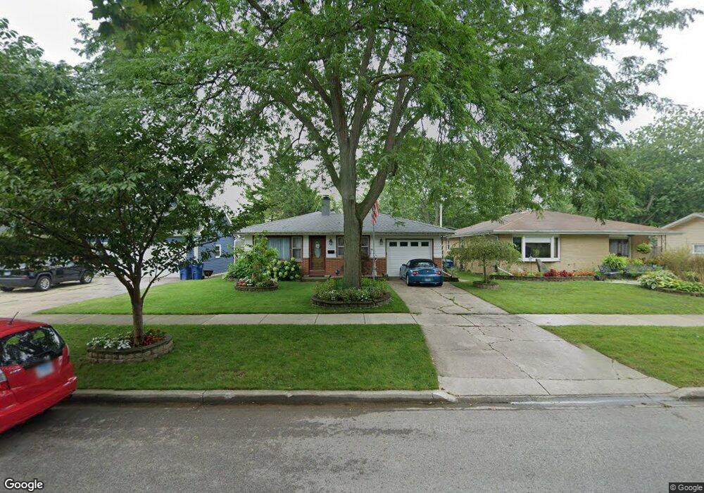
2033 Chestnut St Waukegan, IL 60087
Marquette Highlands NeighborhoodEstimated Value: $241,000 - $262,000
3
Beds
2
Baths
1,170
Sq Ft
$213/Sq Ft
Est. Value
About This Home
This home is located at 2033 Chestnut St, Waukegan, IL 60087 and is currently estimated at $249,644, approximately $213 per square foot. 2033 Chestnut St is a home located in Lake County with nearby schools including Greenwood Elementary School, Edith M Smith Middle School, and Waukegan High School.
Ownership History
Date
Name
Owned For
Owner Type
Purchase Details
Closed on
Apr 26, 2013
Sold by
Lowry Margaret and Lowry Timothy Q
Bought by
Lowry Timothy Q
Current Estimated Value
Home Financials for this Owner
Home Financials are based on the most recent Mortgage that was taken out on this home.
Original Mortgage
$60,000
Interest Rate
3.75%
Mortgage Type
New Conventional
Create a Home Valuation Report for This Property
The Home Valuation Report is an in-depth analysis detailing your home's value as well as a comparison with similar homes in the area
Home Values in the Area
Average Home Value in this Area
Purchase History
| Date | Buyer | Sale Price | Title Company |
|---|---|---|---|
| Lowry Timothy Q | -- | North American Title Company | |
| Lowry Tim | -- | None Available |
Source: Public Records
Mortgage History
| Date | Status | Borrower | Loan Amount |
|---|---|---|---|
| Closed | Lowry Timothy Q | $60,000 |
Source: Public Records
Tax History Compared to Growth
Tax History
| Year | Tax Paid | Tax Assessment Tax Assessment Total Assessment is a certain percentage of the fair market value that is determined by local assessors to be the total taxable value of land and additions on the property. | Land | Improvement |
|---|---|---|---|---|
| 2024 | $4,839 | $65,731 | $12,482 | $53,249 |
| 2023 | $4,768 | $59,314 | $11,264 | $48,050 |
| 2022 | $4,768 | $54,771 | $9,749 | $45,022 |
| 2021 | $4,498 | $49,143 | $8,698 | $40,445 |
| 2020 | $4,510 | $45,782 | $8,103 | $37,679 |
| 2019 | $4,486 | $41,952 | $7,425 | $34,527 |
| 2018 | $4,056 | $37,753 | $10,507 | $27,246 |
| 2017 | $3,898 | $33,401 | $9,296 | $24,105 |
| 2016 | $3,558 | $29,024 | $8,078 | $20,946 |
| 2015 | $3,375 | $25,977 | $7,230 | $18,747 |
| 2014 | $3,139 | $24,094 | $6,576 | $17,518 |
| 2012 | $4,111 | $26,104 | $7,125 | $18,979 |
Source: Public Records
Map
Nearby Homes
- 1905 Linden Ave
- 2232 Walnut St
- 616 W Keith Ave
- 1018 W Atlantic Ave
- 301 W Eagle Ct
- 1336 N Ash St
- 1335 Chestnut St
- 2246 Alta Vista Dr
- 2213 Alta Vista Dr
- 0 Traditions Dr
- 1312 N Linden Ave
- 1504 W Glen Flora Ave
- 1105 Woodlawn Cir
- 1110 N Ash St
- 2350 N Lewis Ave
- 2008 Harding Ave
- 1117 Judge Ave
- 2009 Harding Ave
- 2207 Williamsburg Dr
- 1000 Pine St
- 2029 Chestnut St
- 2037 Chestnut St
- 2023 Chestnut St
- 2045 Chestnut St
- 2030 N Poplar St
- 2036 N Poplar St
- 2019 Chestnut St
- 2022 N Poplar St
- 2032 Chestnut St
- 2040 N Poplar St
- 2040 Chestnut St
- 2028 Chestnut St
- 2047 Chestnut St
- 2016 N Poplar St
- 2046 Chestnut St
- 2024 Chestnut St
- 2015 Chestnut St
- 2050 N Poplar St
- 2050 Chestnut St
- 2055 Chestnut St