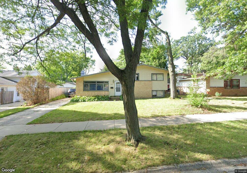
2033 Devonshire Rd Waukegan, IL 60087
Estimated Value: $273,000 - $279,000
3
Beds
2
Baths
1,161
Sq Ft
$237/Sq Ft
Est. Value
About This Home
This home is located at 2033 Devonshire Rd, Waukegan, IL 60087 and is currently estimated at $275,268, approximately $237 per square foot. 2033 Devonshire Rd is a home located in Lake County with nearby schools including H R McCall Elementary School, Jack Benny Middle School, and Waukegan High School.
Ownership History
Date
Name
Owned For
Owner Type
Purchase Details
Closed on
Sep 18, 2025
Sold by
Lucero Judith L and Lucero Judy L
Bought by
Lucero Judith L and Lucero Stephen G
Current Estimated Value
Purchase Details
Closed on
Jul 18, 2018
Sold by
Deutsche Bank National Trust Co
Bought by
Lucero Judy L
Purchase Details
Closed on
Jun 23, 1994
Sold by
Va
Bought by
Bankers Trust Company Of California Na
Create a Home Valuation Report for This Property
The Home Valuation Report is an in-depth analysis detailing your home's value as well as a comparison with similar homes in the area
Home Values in the Area
Average Home Value in this Area
Purchase History
| Date | Buyer | Sale Price | Title Company |
|---|---|---|---|
| Lucero Judith L | -- | None Listed On Document | |
| Lucero Judy L | -- | Attorney | |
| Bankers Trust Company Of California Na | -- | -- |
Source: Public Records
Tax History Compared to Growth
Tax History
| Year | Tax Paid | Tax Assessment Tax Assessment Total Assessment is a certain percentage of the fair market value that is determined by local assessors to be the total taxable value of land and additions on the property. | Land | Improvement |
|---|---|---|---|---|
| 2024 | $6,549 | $76,880 | $11,837 | $65,043 |
| 2023 | $5,973 | $69,452 | $10,692 | $58,760 |
| 2022 | $5,973 | $61,100 | $9,219 | $51,881 |
| 2021 | $5,798 | $55,609 | $8,779 | $46,830 |
| 2020 | $5,873 | $51,807 | $8,179 | $43,628 |
| 2019 | $5,913 | $47,473 | $7,495 | $39,978 |
| 2018 | $5,300 | $40,969 | $9,644 | $31,325 |
| 2017 | $5,159 | $36,246 | $8,532 | $27,714 |
| 2016 | $4,870 | $31,496 | $7,414 | $24,082 |
| 2015 | $4,762 | $28,190 | $6,636 | $21,554 |
| 2014 | $4,222 | $24,953 | $6,748 | $18,205 |
| 2012 | $5,232 | $27,034 | $7,310 | $19,724 |
Source: Public Records
Map
Nearby Homes
- 3211 Rugby Ct
- 3411 N Lewis Ave
- 37966 N Cornell Rd
- 3101 Country Club Ln
- 1636 Rice St
- 1730 W Beach Rd
- 38127 N Shore Ave
- 38683 N Lewis Ave
- 2625 Vercoe Ave
- 38362 N Manor Ave
- 1612 Whitney St
- 37905 N Loyola Ave
- 2613 N Lewis Ave
- 12312 W Audrey Ave
- 38697 N Cedar Ave
- 11345 W Carnahan Ave
- 12582 W Beach Rd
- 11342-11364 W Wadsworth Rd
- 2708 Dana Ave
- 2350 N Lewis Ave
- 2037 Devonshire Rd
- 2029 Devonshire Rd
- 3313 Newcastle Rd Unit 1
- 2025 Devonshire Rd
- 3309 Newcastle Rd
- 3316 Newcastle Rd Unit 1
- 2032 Devonshire Rd Unit 1
- 2021 Devonshire Rd
- 3308 Rugby Ct
- 2028 Devonshire Rd
- 2036 Devonshire Rd
- 3304 Rugby Ct
- 3305 Newcastle Rd
- 2024 Devonshire Rd
- 3312 Newcastle Rd
- 2017 Devonshire Rd
- 2100 Devonshire Rd
- 2020 Devonshire Rd
- 3308 Newcastle Rd
- 3301 Newcastle Rd