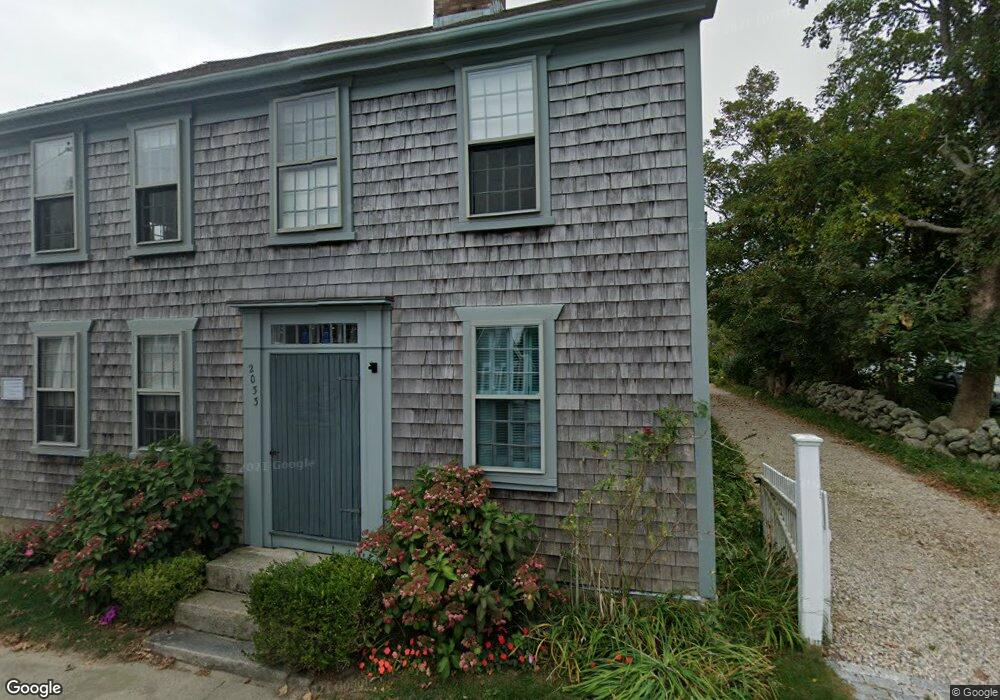
2033 Main Rd Westport Point, MA 02791
Westport Point NeighborhoodEstimated Value: $1,150,087 - $1,916,000
3
Beds
--
Bath
2,211
Sq Ft
$665/Sq Ft
Est. Value
About This Home
This home is located at 2033 Main Rd, Westport Point, MA 02791 and is currently estimated at $1,470,772, approximately $665 per square foot. 2033 Main Rd is a home with nearby schools including Alice A. Macomber Primary School, Westport Elementary School, and Westport Middle-High School.
Ownership History
Date
Name
Owned For
Owner Type
Purchase Details
Closed on
Oct 16, 1992
Sold by
Duffy Richard T
Bought by
Collins James H and Johnson Genae A
Current Estimated Value
Home Financials for this Owner
Home Financials are based on the most recent Mortgage that was taken out on this home.
Original Mortgage
$200,000
Interest Rate
7.93%
Mortgage Type
Purchase Money Mortgage
Purchase Details
Closed on
Aug 22, 1990
Sold by
Collier John W
Bought by
Duffy Richard
Create a Home Valuation Report for This Property
The Home Valuation Report is an in-depth analysis detailing your home's value as well as a comparison with similar homes in the area
Home Values in the Area
Average Home Value in this Area
Purchase History
| Date | Buyer | Sale Price | Title Company |
|---|---|---|---|
| Collins James H | $305,000 | -- | |
| Collins James H | $305,000 | -- | |
| Duffy Richard | $110,000 | -- |
Source: Public Records
Mortgage History
| Date | Status | Borrower | Loan Amount |
|---|---|---|---|
| Closed | Duffy Richard | $200,000 | |
| Previous Owner | Duffy Richard | $50,000 | |
| Previous Owner | Duffy Richard | $4,337 |
Source: Public Records
Tax History Compared to Growth
Tax History
| Year | Tax Paid | Tax Assessment Tax Assessment Total Assessment is a certain percentage of the fair market value that is determined by local assessors to be the total taxable value of land and additions on the property. | Land | Improvement |
|---|---|---|---|---|
| 2025 | $8,808 | $1,182,300 | $878,500 | $303,800 |
| 2024 | $8,622 | $1,115,400 | $813,900 | $301,500 |
| 2023 | $7,972 | $976,900 | $751,300 | $225,600 |
| 2022 | $6,502 | $766,800 | $536,600 | $230,200 |
| 2021 | $5,421 | $628,900 | $455,300 | $173,600 |
| 2020 | $5,148 | $610,700 | $437,100 | $173,600 |
| 2019 | $5,129 | $620,200 | $437,100 | $183,100 |
| 2018 | $6,376 | $780,400 | $609,700 | $170,700 |
| 2017 | $6,152 | $771,900 | $605,300 | $166,600 |
| 2016 | $6,055 | $765,500 | $605,300 | $160,200 |
| 2015 | $5,422 | $683,700 | $549,200 | $134,500 |
Source: Public Records
Map
Nearby Homes
- 1881 Main Rd
- 1702J Drift Rd
- 1702 Drift Rd
- 1749 Main Rd
- 1580 Main Rd
- 19 Seabury Ln
- 238-242 E Beach Rd
- 99 Sylvia Ln
- 1346 Main Rd Unit B
- 189 Brayton Point Rd
- 304 Brayton Point Rd
- Lot 2 Horseneck Rd
- 255 John Dyer Rd
- 245 John Dyer Rd
- 225 Hixbridge Rd
- 920 Drift Rd
- 17 Quail Trail
- Lot 2E Horseneck Rd
- 101 Adamsville Rd
- 18 Old Barn Rd