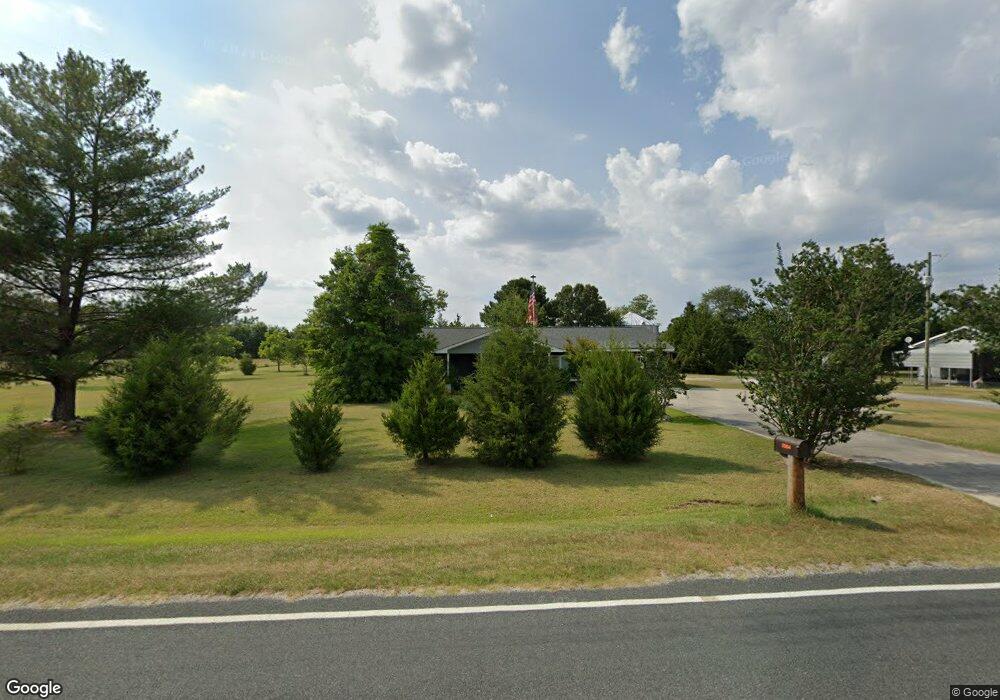
2033 McGirt Gin Rd Maxton, NC 28364
Estimated Value: $161,529 - $245,000
3
Beds
1
Bath
1,404
Sq Ft
$150/Sq Ft
Est. Value
About This Home
This home is located at 2033 McGirt Gin Rd, Maxton, NC 28364 and is currently estimated at $210,632, approximately $150 per square foot. 2033 McGirt Gin Rd is a home located in Robeson County with nearby schools including Oxendine Elementary School, Paris Elementary School, and Red Springs Middle School.
Ownership History
Date
Name
Owned For
Owner Type
Purchase Details
Closed on
Mar 5, 2018
Sold by
Bryant Carlis and Bryant Donna
Bought by
Bryant Carlis and Cooper Carolyn
Current Estimated Value
Home Financials for this Owner
Home Financials are based on the most recent Mortgage that was taken out on this home.
Original Mortgage
$129,000
Outstanding Balance
$110,121
Interest Rate
4.22%
Mortgage Type
VA
Estimated Equity
$100,511
Purchase Details
Closed on
Jan 1, 1997
Bought by
Bryant Carlis Ray
Create a Home Valuation Report for This Property
The Home Valuation Report is an in-depth analysis detailing your home's value as well as a comparison with similar homes in the area
Home Values in the Area
Average Home Value in this Area
Purchase History
| Date | Buyer | Sale Price | Title Company |
|---|---|---|---|
| Bryant Carlis | $129,000 | None Available | |
| Bryant Carlis Ray | -- | -- |
Source: Public Records
Mortgage History
| Date | Status | Borrower | Loan Amount |
|---|---|---|---|
| Open | Bryant Carlis | $129,000 |
Source: Public Records
Tax History Compared to Growth
Tax History
| Year | Tax Paid | Tax Assessment Tax Assessment Total Assessment is a certain percentage of the fair market value that is determined by local assessors to be the total taxable value of land and additions on the property. | Land | Improvement |
|---|---|---|---|---|
| 2025 | $653 | $117,500 | $17,400 | $100,100 |
| 2024 | $1,178 | $117,500 | $17,400 | $100,100 |
| 2023 | $1,259 | $91,600 | $18,100 | $73,500 |
| 2022 | $943 | $91,600 | $18,100 | $73,500 |
| 2021 | $943 | $91,600 | $18,100 | $73,500 |
| 2020 | $914 | $71,600 | $18,100 | $53,500 |
| 2018 | $798 | $82,800 | $35,900 | $46,900 |
| 2017 | $852 | $82,800 | $35,900 | $46,900 |
| 2016 | $852 | $82,800 | $35,900 | $46,900 |
| 2015 | $852 | $82,800 | $35,900 | $46,900 |
| 2014 | $852 | $82,800 | $35,900 | $46,900 |
Source: Public Records
Map
Nearby Homes
- 2898 McGirt Gin Rd
- 18345 Airbase Rd
- LOT 4 McGirt Rd
- Tbd2 McGirt Rd
- 17520 Gulf Port Rd
- 0 Spring Hill Rd
- 21040 Mclaughlin Rd
- 21320 Bridle Path Dr
- 0 Sarah Ln
- 23161 Crandall St
- 2740 Nc 71
- 19261 Salley McNair Rd
- 21480 Jane Shaw Rd
- Tbd Hill Creek Rd
- 0 Seals Rd
- 4766 Old Wire Rd
- 606 N Patterson St
- 119 Clarks Dr
- 155 Clarks Dr
- 509 N Patterson St
- 1990 McGirt Gin Rd
- 2048 McGirt Gin Rd
- 1873 McGirt Gin Rd
- 1800 McGirt Gin Rd
- 4178 McGirt Rd
- 1700 McGirt Gin Rd
- 72 Stowaway Dr
- 3521 McGirt Rd
- 2578 Daily Dr
- 1595 McGirt Gin Rd
- 1532 McGirt Gin Rd
- 144 Dailey Rd
- 4405 McGirt Rd
- 119 Dailey Rd
- 2603 McGirt Gin Rd
- 1439 McGirt Gin Rd
- 4433 McGirt Rd
- 200 Dailey Rd
- Lot 2 McGirt
- 4457 McGirt Rd