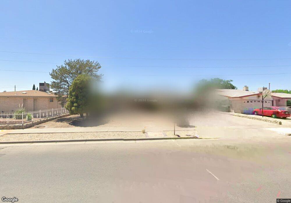
2033 Mermaid Dr El Paso, TX 79936
Glen Cove NeighborhoodEstimated Value: $253,000 - $273,000
3
Beds
2
Baths
1,956
Sq Ft
$134/Sq Ft
Est. Value
About This Home
This home is located at 2033 Mermaid Dr, El Paso, TX 79936 and is currently estimated at $261,556, approximately $133 per square foot. 2033 Mermaid Dr is a home located in El Paso County with nearby schools including Tierra Del Sol Elementary School, J M Hanks High School, and EL PASO LEADERSHIP ACADEMY - MIDDLE EAST.
Ownership History
Date
Name
Owned For
Owner Type
Purchase Details
Closed on
Apr 22, 2009
Sold by
Roper Joseph A
Bought by
Roper Joseph Allen and Roper James Carroll
Current Estimated Value
Purchase Details
Closed on
Feb 27, 1998
Sold by
Capstead Inc
Bought by
Federal Home Loan Mortgage Corporation
Purchase Details
Closed on
Dec 2, 1997
Sold by
Herskowitz Edward B and Herskowitz Victoria P
Bought by
Capstead Inc
Create a Home Valuation Report for This Property
The Home Valuation Report is an in-depth analysis detailing your home's value as well as a comparison with similar homes in the area
Home Values in the Area
Average Home Value in this Area
Purchase History
| Date | Buyer | Sale Price | Title Company |
|---|---|---|---|
| Roper Joseph Allen | -- | None Available | |
| Federal Home Loan Mortgage Corporation | -- | -- | |
| Capstead Inc | $70,673 | -- |
Source: Public Records
Tax History Compared to Growth
Tax History
| Year | Tax Paid | Tax Assessment Tax Assessment Total Assessment is a certain percentage of the fair market value that is determined by local assessors to be the total taxable value of land and additions on the property. | Land | Improvement |
|---|---|---|---|---|
| 2025 | $2,625 | $234,925 | -- | -- |
| 2024 | $2,625 | $204,875 | -- | -- |
| 2023 | $2,519 | $186,250 | $24,882 | $161,368 |
| 2022 | $5,767 | $185,717 | $0 | $0 |
| 2021 | $5,488 | $168,834 | $24,882 | $143,952 |
| 2020 | $5,139 | $162,710 | $21,437 | $141,273 |
| 2018 | $5,072 | $163,094 | $21,437 | $141,657 |
| 2017 | $4,555 | $149,017 | $21,437 | $127,580 |
| 2016 | $4,201 | $137,419 | $21,437 | $115,982 |
| 2015 | $3,315 | $137,419 | $21,437 | $115,982 |
| 2014 | $3,315 | $138,129 | $21,437 | $116,692 |
Source: Public Records
Map
Nearby Homes
- 1913 Seagull Dr
- 2604 Anise Dr
- 1868 Tom Bolt Dr
- 11016 Bob Stone Dr
- 11013 Bob Stone Dr
- 11012 Bob Stone Dr
- 2308 Tom Watson Ct
- 2009 Bobby Jones Dr Unit B
- 1817 Hugh Royer Place
- 1901 Bobby Jones Dr
- 2348 Sea Side Dr
- 11008 Johnny Miller Dr
- 2101 E Glen Dr
- 2325 Ken Venturi Ln
- 11276 Skipper Dr
- 11132 Wharf Cove Dr
- 11201 Skipper Dr
- 1844 Jack Nicklaus Dr Unit 1846
- 1804 Jerry Abbott St
- 2825 Wong Place Unit A/D
- 2101 Mermaid Dr
- 2029 Mermaid Dr
- 2105 Mermaid Dr
- 2025 Mermaid Dr
- 2100 Sea Palm Dr
- 2101 Sea Palm Dr
- 2028 Lee Elder Dr
- 2100 Lee Elder Dr
- 2024 Lee Elder Dr
- 2021 Mermaid Dr
- 2109 Mermaid Dr
- 2001 Sea Cove Dr
- 2104 Sea Palm Dr
- 2104 Lee Elder Dr
- 2020 Lee Elder Dr
- 2105 Sea Palm Dr
- 2512 Anise Dr
- 2005 Sea Cove Dr
- 2017 Mermaid Dr
- 2016 Lee Elder Dr