2033 N Fork Right Fork Black Mountain, NC 28711
Estimated Value: $515,000 - $617,000
3
Beds
2
Baths
1,560
Sq Ft
$362/Sq Ft
Est. Value
About This Home
This home is located at 2033 N Fork Right Fork, Black Mountain, NC 28711 and is currently estimated at $563,966, approximately $361 per square foot. 2033 N Fork Right Fork is a home located in Buncombe County with nearby schools including Black Mountain Primary, Black Mountain Elementary School, and Charles D. Owen Middle School.
Ownership History
Date
Name
Owned For
Owner Type
Purchase Details
Closed on
May 27, 2016
Sold by
Wagner Deborah C and Wagner Galency
Bought by
Anderson J Vince and Anderson Karen
Current Estimated Value
Home Financials for this Owner
Home Financials are based on the most recent Mortgage that was taken out on this home.
Original Mortgage
$227,000
Outstanding Balance
$178,759
Interest Rate
3.25%
Mortgage Type
Adjustable Rate Mortgage/ARM
Estimated Equity
$385,207
Purchase Details
Closed on
Aug 21, 2008
Bought by
Wagner Deborah and Wagner Galency
Create a Home Valuation Report for This Property
The Home Valuation Report is an in-depth analysis detailing your home's value as well as a comparison with similar homes in the area
Home Values in the Area
Average Home Value in this Area
Purchase History
| Date | Buyer | Sale Price | Title Company |
|---|---|---|---|
| Anderson J Vince | -- | None Available | |
| Wagner Deborah | -- | -- |
Source: Public Records
Mortgage History
| Date | Status | Borrower | Loan Amount |
|---|---|---|---|
| Open | Anderson J Vince | $227,000 |
Source: Public Records
Tax History
| Year | Tax Paid | Tax Assessment Tax Assessment Total Assessment is a certain percentage of the fair market value that is determined by local assessors to be the total taxable value of land and additions on the property. | Land | Improvement |
|---|---|---|---|---|
| 2025 | $2,120 | $339,500 | $32,500 | $307,000 |
| 2024 | $2,120 | $339,500 | $47,500 | $292,000 |
| 2023 | $2,120 | $339,500 | $47,500 | $292,000 |
| 2022 | $2,020 | $339,500 | $0 | $0 |
| 2021 | $2,020 | $339,500 | $0 | $0 |
| 2020 | $1,758 | $270,900 | $0 | $0 |
| 2019 | $1,858 | $286,300 | $0 | $0 |
| 2018 | $1,858 | $286,300 | $0 | $0 |
| 2017 | $1,827 | $236,500 | $0 | $0 |
| 2016 | $1,663 | $236,500 | $0 | $0 |
| 2015 | $1,663 | $236,500 | $0 | $0 |
| 2014 | $1,663 | $236,500 | $0 | $0 |
Source: Public Records
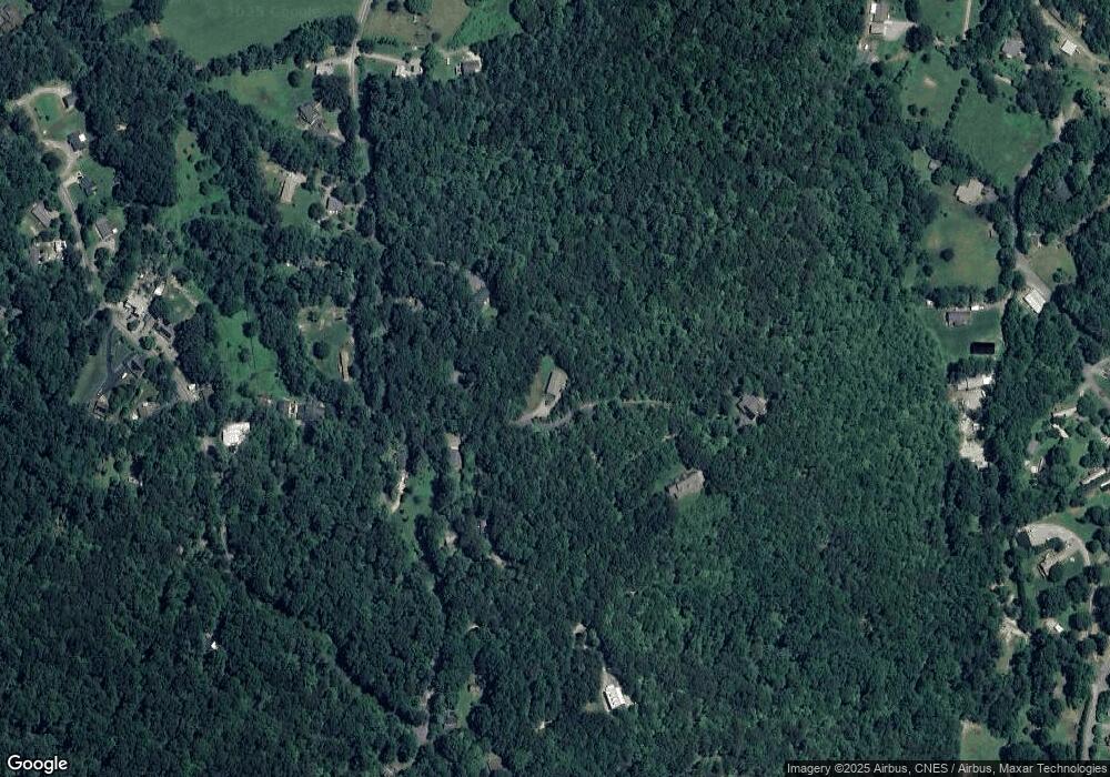
Map
Nearby Homes
- 409 N Fork Rd
- 37 Wood Robin Ln
- 334 N Fork Rd Unit 1
- 334 N Fork Rd Unit 11
- 334 N Fork Rd Unit 9
- 334 N Fork Rd Unit 8
- 334 N Fork Rd Unit 4
- 334 N Fork Rd Unit 5
- 334 N Fork Rd Unit 7
- 334 N Fork Rd Unit 10
- 334 N Fork Rd Unit 12
- 334 N Fork Rd Unit 2
- 334 N Fork Rd Unit 3
- 334 N Fork Rd Unit 6
- 1 Lynx Dr Unit C-1
- 3B Lynx Dr
- 9999 N Fork Rd Unit 5 & 6
- 100 Chapel Rd
- 829 N Oconeechee Ave
- 200 Allen Mountain Dr
- 2031 N Fork Right Fork
- 2015 N Fork Right Fork
- 2015 N Fork-Right Fork Rd
- 2030 N Fork Right Fork
- 2034 N Fork Right Fork
- 2019 N Fork Right Fork
- 2017 N Fork Right Fork
- 2044 N Fork-Right Fork Rd
- 2037 N Fork-Right Fork Rd
- 2043 N Fork Right Fork
- 460 N Fork Rd
- 2043 N Fork-Right Fork Rd
- 468 N Fork Rd
- 2057 N Fork Right Fork
- 2053 N Fork Right Fork
- 2059 N Fork Right Fork
- 472 N Fork Rd
- 2001 N Fork Right Fork
- 78 Walker Cove Rd
- 2060 N Fork Right Fork
Your Personal Tour Guide
Ask me questions while you tour the home.