2033 Pheasant Rd Lancaster, SC 29720
Estimated Value: $190,000 - $232,000
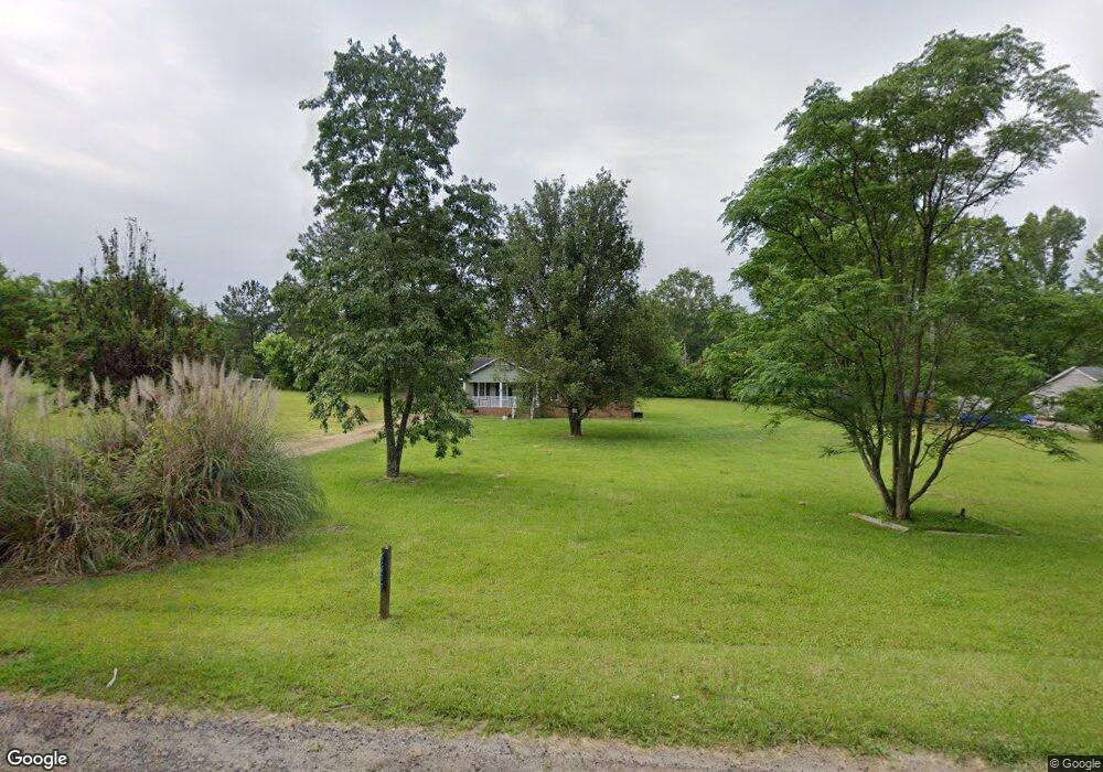
About This Home
This home is located at 2033 Pheasant Rd, Lancaster, SC 29720 and is currently estimated at $203,033, approximately $176 per square foot. 2033 Pheasant Rd is a home located in Lancaster County with nearby schools including Erwin Elementary School, South Middle School, and Lancaster High School.
Ownership History
We collect this data history from publicly available records. To have your information removed, we recommend requesting removal directly through your county’s website.
Purchase Details
Purchase Details
Purchase Details
Purchase Details
Home Financials for this Owner
Home Financials are based on the most recent Mortgage that was taken out on this home.Purchase Details
Home Values in the Area
Average Home Value in this Area
Purchase History
We collect this data history from publicly available records. To have your information removed, we recommend requesting removal directly through your county’s website.
| Date | Buyer | Sale Price | Title Company |
|---|---|---|---|
| -- | None Listed On Document | ||
| -- | None Listed On Document | ||
| $7,000 | None Listed On Document | ||
| -- | -- | ||
| $24,000 | -- | ||
| $71,730 | -- |
Mortgage History
We collect this data history from publicly available records. To have your information removed, we recommend requesting removal directly through your county’s website.
| Date | Status | Borrower | Loan Amount |
|---|---|---|---|
| Previous Owner | $60,000 |
Tax History
We collect this data history from publicly available records. To have your information removed, we recommend requesting removal directly through your county’s website.
| Year | Tax Paid | Tax Assessment Tax Assessment Total Assessment is a certain percentage of the fair market value that is determined by local assessors to be the total taxable value of land and additions on the property. | Land | Improvement |
|---|---|---|---|---|
| 2025 | $1,686 | $5,154 | $1,255 | $3,899 |
| 2024 | $1,485 | $4,482 | $702 | $3,780 |
| 2023 | $1,483 | $4,482 | $702 | $3,780 |
| 2022 | $1,478 | $4,482 | $702 | $3,780 |
| 2021 | $1,455 | $4,482 | $702 | $3,780 |
| 2020 | $1,355 | $4,176 | $702 | $3,474 |
| 2019 | $1,413 | $4,176 | $702 | $3,474 |
| 2018 | $1,360 | $4,176 | $702 | $3,474 |
| 2017 | $416 | $0 | $0 | $0 |
| 2016 | $406 | $0 | $0 | $0 |
| 2015 | $340 | $0 | $0 | $0 |
| 2014 | $340 | $0 | $0 | $0 |
| 2013 | $340 | $0 | $0 | $0 |
Map
- 2006 Eagle Point Estate
- 2197 Dover Ln
- 1929 Havenwood Dr
- 1021 Pemberley St
- 940 Pemberley St
- 930 Pemberley St
- 936 Pemberley St
- 982 Pemberley St
- 371 Maplestead St
- 1927 Terra Ln
- 474 Derbyshire St
- 1801 Havenwood Dr
- 359 Maplestead St
- 367 Maplestead St
- 536 Nesbe St
- 470 Derbyshire St
- 2077 Strafford Dr
- 435 Derbyshire St
- 431 Derbyshire St
- 423 Derbyshire St
- 2019 Pheasant Rd
- 2022 Dover Ln
- 2034 Dover Ln
- 778 W Shiloh Unity Rd
- 2020 Pheasant Rd
- 744 W Shiloh Unity Rd
- 2047 Pheasant Rd
- 2046 Dover Ln
- 759 W Shiloh Unity Rd
- 2019 Dover Ln
- 2035 Dover Ln
- 802 W Shiloh Unity Rd
- 2061 Pheasant Rd
- 2062 Dover Ln
- 2058 Pheasant Rd
- 28 W Shiloh Unity Rd
- 2047 Dover Ln
- 710 W Shiloh Unity Rd
- 2077 Pheasant Rd
- 2070 Pheasant Rd
Ask me questions while you tour the home.