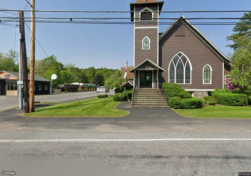
2033 Rr 2 Canadensis, PA 18325
Estimated Value: $221,000 - $393,000
4
Beds
3
Baths
2,321
Sq Ft
$142/Sq Ft
Est. Value
About This Home
This home is located at 2033 Rr 2, Canadensis, PA 18325 and is currently estimated at $330,077, approximately $142 per square foot. 2033 Rr 2 is a home located in Monroe County with nearby schools including Swiftwater Interm School, Swiftwater Elementary Center, and Pocono Mountain East Junior High School.
Ownership History
Date
Name
Owned For
Owner Type
Purchase Details
Closed on
May 8, 2023
Sold by
Pasiecznik Michael
Bought by
Pasiecznik Michal
Current Estimated Value
Purchase Details
Closed on
Mar 6, 2008
Sold by
Donmartin Anna Maria and Pasiecznik Michal
Bought by
Pasiecznik Michal and Brudzinska Pasiecznik Agnieszka
Home Financials for this Owner
Home Financials are based on the most recent Mortgage that was taken out on this home.
Original Mortgage
$247,600
Interest Rate
8%
Mortgage Type
Stand Alone Refi Refinance Of Original Loan
Create a Home Valuation Report for This Property
The Home Valuation Report is an in-depth analysis detailing your home's value as well as a comparison with similar homes in the area
Home Values in the Area
Average Home Value in this Area
Purchase History
| Date | Buyer | Sale Price | Title Company |
|---|---|---|---|
| Pasiecznik Michal | -- | None Listed On Document | |
| Pasiecznik Michal | -- | None Available |
Source: Public Records
Mortgage History
| Date | Status | Borrower | Loan Amount |
|---|---|---|---|
| Previous Owner | Pasiecznik Michal | $247,600 |
Source: Public Records
Tax History Compared to Growth
Tax History
| Year | Tax Paid | Tax Assessment Tax Assessment Total Assessment is a certain percentage of the fair market value that is determined by local assessors to be the total taxable value of land and additions on the property. | Land | Improvement |
|---|---|---|---|---|
| 2025 | $1,211 | $150,050 | $33,600 | $116,450 |
| 2024 | $986 | $150,050 | $33,600 | $116,450 |
| 2023 | $3,927 | $150,050 | $33,600 | $116,450 |
| 2022 | $3,781 | $146,990 | $30,540 | $116,450 |
| 2021 | $3,781 | $146,990 | $30,540 | $116,450 |
| 2019 | $5,215 | $29,500 | $7,740 | $21,760 |
| 2018 | $5,215 | $29,500 | $7,740 | $21,760 |
| 2017 | $5,274 | $29,500 | $7,740 | $21,760 |
| 2016 | $1,224 | $29,500 | $7,740 | $21,760 |
| 2015 | -- | $29,500 | $7,740 | $21,760 |
| 2014 | -- | $29,500 | $7,740 | $21,760 |
Source: Public Records
Map
Nearby Homes
- 0 Creekside Rd
- 2181 Oak Hill Dr
- 2169 Oak Hill Dr
- 2167 Oak Hill Dr
- 2161 Oak Hill Dr
- 1293 Winding Way
- 1918 Horseshoe Bend
- 1259 Winding Way
- 122 Treetop Trail
- 606 Buck Cir
- 1119 Knollwood Dr
- 1117 Knollwood Dr
- 277 Winding Way 277 Way
- 479 Golf Dr
- 1523 Black Birch Way
- 1769 Rolling Hills Dr
- 1789 Rolling Hills Dr
- 664 Griscom Rd
- 5126 Beatty Cir
- 1654 Sunnyside Dr
