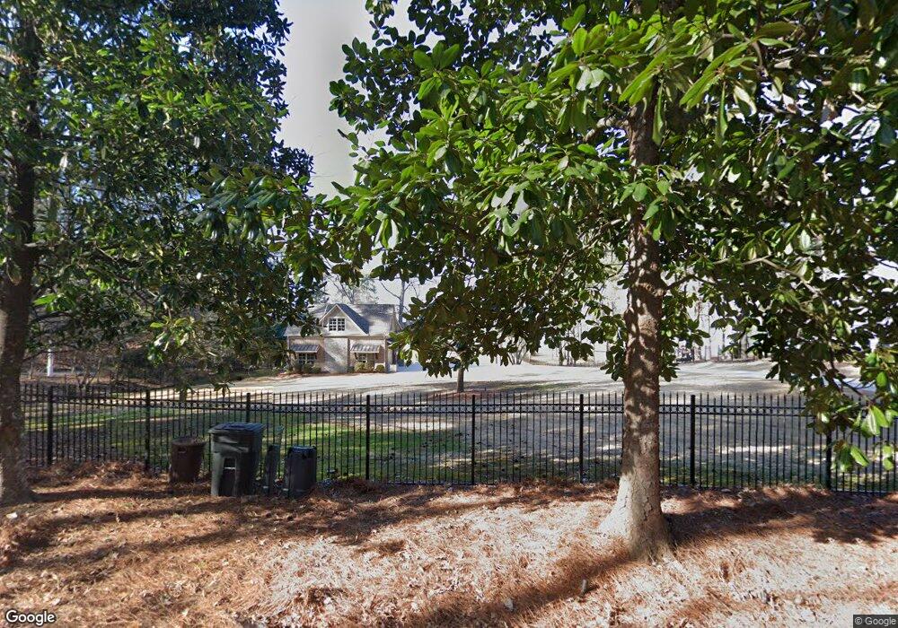
2033 Signal Point Rd Guntersville, AL 35976
Estimated Value: $1,535,000 - $2,878,000
--
Bed
--
Bath
6,410
Sq Ft
$376/Sq Ft
Est. Value
About This Home
This home is located at 2033 Signal Point Rd, Guntersville, AL 35976 and is currently estimated at $2,412,568, approximately $376 per square foot. 2033 Signal Point Rd is a home located in Marshall County with nearby schools including Guntersville Elementary School, Cherokee Elementary School, and Guntersville Middle School.
Ownership History
Date
Name
Owned For
Owner Type
Purchase Details
Closed on
Jun 21, 2021
Sold by
Driskill Gregory P and Driskill Lisa G
Bought by
Wharton Joshua and Wharton Natalie M
Current Estimated Value
Home Financials for this Owner
Home Financials are based on the most recent Mortgage that was taken out on this home.
Original Mortgage
$1,700,000
Outstanding Balance
$1,290,743
Interest Rate
2.9%
Mortgage Type
New Conventional
Estimated Equity
$1,121,825
Purchase Details
Closed on
Jul 6, 2017
Sold by
Holmes Donald W and Holmes Donald W
Bought by
Driskill Gregory P and Driskill Lisa G
Purchase Details
Closed on
Apr 22, 2014
Sold by
Corbin Jennie Gail and Estate Of Jennie K Deck
Bought by
Holmes Living Trust
Home Financials for this Owner
Home Financials are based on the most recent Mortgage that was taken out on this home.
Original Mortgage
$456,000
Interest Rate
4.43%
Mortgage Type
Future Advance Clause Open End Mortgage
Create a Home Valuation Report for This Property
The Home Valuation Report is an in-depth analysis detailing your home's value as well as a comparison with similar homes in the area
Home Values in the Area
Average Home Value in this Area
Purchase History
| Date | Buyer | Sale Price | Title Company |
|---|---|---|---|
| Wharton Joshua | $2,450,000 | None Available | |
| Driskill Gregory P | $2,532,000 | None Available | |
| Holmes Living Trust | $570,000 | None Available |
Source: Public Records
Mortgage History
| Date | Status | Borrower | Loan Amount |
|---|---|---|---|
| Open | Wharton Joshua | $1,700,000 | |
| Previous Owner | Holmes Living Trust | $456,000 |
Source: Public Records
Tax History Compared to Growth
Tax History
| Year | Tax Paid | Tax Assessment Tax Assessment Total Assessment is a certain percentage of the fair market value that is determined by local assessors to be the total taxable value of land and additions on the property. | Land | Improvement |
|---|---|---|---|---|
| 2024 | $9,162 | $245,720 | $0 | $0 |
| 2023 | $9,162 | $245,640 | $0 | $0 |
| 2022 | $9,159 | $245,640 | $0 | $0 |
| 2021 | $7,817 | $209,860 | $0 | $0 |
| 2020 | $6,396 | $171,980 | $0 | $0 |
| 2017 | $5,227 | $172,000 | $0 | $0 |
| 2015 | -- | $85,300 | $0 | $0 |
| 2014 | -- | $42,660 | $0 | $0 |
Source: Public Records
Map
Nearby Homes
- 1984 Signal Point Rd
- 6.48 Acres Signal Point Rd
- Lot 32 Signal Point Rd
- Lot 33 Signal Point Rd
- 1551 Signal Point Rd
- 104 Signal Point Dr
- 4001 Neely Ct
- 5685 Alabama 227
- 139 Summit Point
- 1314 Buck Island Dr
- 4432 Leaning Beach Dr
- 1092 Heritage Dr
- 111 Appaloosa Dr
- 4125 Hide Away Dr
- 10 Gl Ridge Cir
- 4157 Hide Away Dr
- 11 Gl Ridge Cir
- 14 Gl Ridge Cir
- 13 Gl Ridge Cir
- 12 Gl Ridge Cir
- 2005 Signal Point Rd
- 2049 Signal Point Rd
- 2046 Signal Point Rd
- 1921 Signal Point Rd
- 1934 Signal Point Rd
- 2121 Signal Point Rd
- 1911 Signal Point Rd
- 2116 Signal Point Rd
- 1844 Signal Point Rd
- 2140 Signal Point Rd
- 1877 Signal Point Rd
- 2235 Signal Point Rd
- 1790 Signal Point Rd
- 1 Signal Point Cir
- 3 Signal Point Cir
- 2230 Signal Point Rd
- 2206 Signal Point Rd
- 1863 Signal Point Rd
- 1855 Signal Point Rd
- 2274 Signal Point Rd