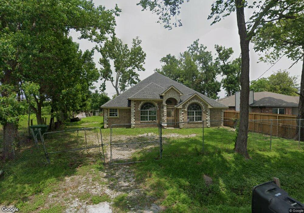
2033 Skinner Rd Houston, TX 77093
Eastex-Jensen NeighborhoodEstimated Value: $268,000 - $375,000
3
Beds
2
Baths
2,345
Sq Ft
$136/Sq Ft
Est. Value
About This Home
This home is located at 2033 Skinner Rd, Houston, TX 77093 and is currently estimated at $318,025, approximately $135 per square foot. 2033 Skinner Rd is a home located in Harris County with nearby schools including Coop Elementary School, Patrick Henry Middle School, and Sam Houston Math, Science & Technology Center.
Ownership History
Date
Name
Owned For
Owner Type
Purchase Details
Closed on
Oct 27, 2015
Sold by
Hernandez Carolyn
Bought by
Hernandez Aurelio T
Current Estimated Value
Purchase Details
Closed on
Feb 3, 2005
Sold by
Arredondo David and Arredondo Rosanelly
Bought by
Hernandez Aurelio T
Home Financials for this Owner
Home Financials are based on the most recent Mortgage that was taken out on this home.
Original Mortgage
$80,000
Outstanding Balance
$40,716
Interest Rate
5.77%
Mortgage Type
Purchase Money Mortgage
Estimated Equity
$277,309
Create a Home Valuation Report for This Property
The Home Valuation Report is an in-depth analysis detailing your home's value as well as a comparison with similar homes in the area
Home Values in the Area
Average Home Value in this Area
Purchase History
| Date | Buyer | Sale Price | Title Company |
|---|---|---|---|
| Hernandez Aurelio T | -- | Attorney | |
| Hernandez Aurelio T | -- | Fidelity National Title |
Source: Public Records
Mortgage History
| Date | Status | Borrower | Loan Amount |
|---|---|---|---|
| Open | Hernandez Aurelio T | $80,000 |
Source: Public Records
Tax History Compared to Growth
Tax History
| Year | Tax Paid | Tax Assessment Tax Assessment Total Assessment is a certain percentage of the fair market value that is determined by local assessors to be the total taxable value of land and additions on the property. | Land | Improvement |
|---|---|---|---|---|
| 2025 | $6,690 | $235,958 | $61,428 | $174,530 |
| 2024 | $6,690 | $319,757 | $57,533 | $262,224 |
| 2023 | $6,690 | $269,857 | $44,948 | $224,909 |
| 2022 | $4,792 | $217,616 | $37,456 | $180,160 |
| 2021 | $4,586 | $196,763 | $26,969 | $169,794 |
| 2020 | $4,468 | $184,498 | $26,969 | $157,529 |
| 2019 | $4,669 | $184,498 | $26,969 | $157,529 |
| 2018 | $3,998 | $157,996 | $20,676 | $137,320 |
| 2017 | $3,995 | $157,996 | $20,676 | $137,320 |
| 2016 | $3,995 | $157,996 | $20,676 | $137,320 |
| 2015 | $2,512 | $171,045 | $16,481 | $154,564 |
| 2014 | $2,512 | $97,727 | $17,837 | $79,890 |
Source: Public Records
Map
Nearby Homes
- 1829 Skinner Rd
- 10512 Exeter St
- 10514 Exeter St
- 1908 Little York Rd
- 2315 Langley Rd
- 2332 Margaret St
- 2415 Goodloe St
- 2122 Kowis St
- 2318 Cresline St
- 2152 William Tell St
- 1802 Kowis St
- 9910 E Hardy Rd
- 1930 Cromwell St
- 2636 Lone Oak Rd
- 2131 Cromwell St Unit D
- 10022 E Hardy Rd
- 1002 Grenfell Ln
- 2237 Cromwell St
- 2629 Kowis St
- 1728 Little York Rd
- 2037 Skinner Rd
- 2031 Skinner Rd
- 2038 Skinner Rd
- 2035 Skinner Rd
- 2008 Skinner Rd
- 2006 Skinner Rd
- 2134 Skinner Rd
- 2014 Skinner Rd
- 2002 Skinner Rd
- 10507 Burden St
- 2205 Skinner Rd
- 1934 Skinner Rd
- 2005 Skinner
- 2207 Skinner Rd
- 10505 Burden St
- 2204 Skinner Rd
- 2209 Skinner Rd
- 10503 Burden St
- 2110 Pine Tree Dr
- 1918 Skinner Rd