Estimated Value: $305,000 - $375,822
3
Beds
2
Baths
1,860
Sq Ft
$183/Sq Ft
Est. Value
About This Home
This home is located at 20331 Farm Road 2020, Crane, MO 65633 and is currently estimated at $340,411, approximately $183 per square foot. 20331 Farm Road 2020 is a home located in Barry County with nearby schools including Pate Early Childhood Center, Robinson Elementary School, and Robinson Intermediate School.
Ownership History
Date
Name
Owned For
Owner Type
Purchase Details
Closed on
May 16, 2025
Sold by
Williams Stephen and Williams Brea
Bought by
Kso Farm Llc
Current Estimated Value
Purchase Details
Closed on
Aug 2, 2021
Sold by
Crownover James Kent and Crownover Peggy F
Bought by
Crownover James Kent and Crownover Peggy F
Purchase Details
Closed on
Sep 20, 2010
Sold by
Sears Sherrill A and Sears Hurchel
Bought by
Crownover James Kent
Home Financials for this Owner
Home Financials are based on the most recent Mortgage that was taken out on this home.
Original Mortgage
$186,000
Interest Rate
4.46%
Mortgage Type
New Conventional
Create a Home Valuation Report for This Property
The Home Valuation Report is an in-depth analysis detailing your home's value as well as a comparison with similar homes in the area
Purchase History
| Date | Buyer | Sale Price | Title Company |
|---|---|---|---|
| Kso Farm Llc | -- | Asbury Land Title | |
| Kso Farm Llc | -- | Asbury Land Title | |
| Crownover James Kent | -- | None Available | |
| Crownover James Kent | -- | Security Abstract & Title |
Source: Public Records
Mortgage History
| Date | Status | Borrower | Loan Amount |
|---|---|---|---|
| Previous Owner | Crownover James Kent | $186,000 |
Source: Public Records
Tax History
| Year | Tax Paid | Tax Assessment Tax Assessment Total Assessment is a certain percentage of the fair market value that is determined by local assessors to be the total taxable value of land and additions on the property. | Land | Improvement |
|---|---|---|---|---|
| 2025 | $5,715 | $24,617 | $1,999 | $22,618 |
| 2024 | $11 | $22,660 | $1,999 | $20,661 |
| 2023 | $1,083 | $22,660 | $1,999 | $20,661 |
| 2022 | $1,074 | $22,470 | $1,809 | $20,661 |
| 2020 | $1,058 | $22,090 | $1,429 | $20,661 |
| 2018 | $1,043 | $22,114 | $1,453 | $20,661 |
| 2017 | $1,042 | $22,114 | $1,453 | $20,661 |
| 2016 | $965 | $20,424 | $1,263 | $19,161 |
| 2015 | -- | $20,424 | $1,263 | $19,161 |
| 2014 | -- | $20,400 | $1,239 | $19,161 |
| 2012 | -- | $0 | $0 | $0 |
Source: Public Records
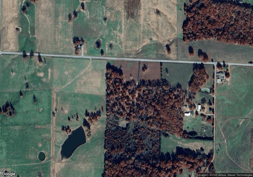
Map
Nearby Homes
- Tract 2 Farm Rd 1200
- 00 Farm Road 1200
- 000 Farm Road 1200
- Tract 1 Farm Rd 2020 & 1200
- Tract 2 Farm Road 1200
- 000 Farm Road 2020
- 19038 Farm Road 2020
- 17755 State Highway Z
- 1967 Cattle Dr
- Tract 1 Unit Farm Road 200
- Tract 1 0000farm Road 2007
- Tract 1 0000 Farm Road 2007
- 0000 Farm Road 2007
- Tract 1 Farm Road 1200
- 17928 State Highway Z
- 23594 Lawrence 1200
- 000 Lawrence 2230
- 17196 Farm Road 2030
- 5309 Private Road 1195
- 21228 Lawrence 2230
- 20507 Farm Road 2020
- 20515 Farm Road 2020
- 2262 Farm Road 1200
- 20672 Farm Road 2020
- 2026 Cattle Dr
- 0000 Farm Road 2020
- 19741 Farm Road 2020
- 333 !Dnp!
- TBD Fr 1180 Parcel A
- 0 Tall Oaks Unit 10808015
- 0 Tall Oaks Unit 10808014
- 0 Tall Oaks Unit 10808011
- 0 Tall Oaks Unit 10808019
- 0 Tall Oaks Unit 10808012
- 0 Tall Oaks Unit 10808010
- 0 Tall Oaks Unit 10808016
- 0 Rt 2 Unit B 132 10810244
- 0 Redbud Unit 10810683
- 0 Rt 2 Unit B 194 10814994
- 0 Hc 1 Unit B 16 10813287
Your Personal Tour Guide
Ask me questions while you tour the home.