20332 W Liberty Rd White Hall, MD 21161
Estimated Value: $404,835 - $606,000
--
Bed
2
Baths
1,970
Sq Ft
$250/Sq Ft
Est. Value
About This Home
This home is located at 20332 W Liberty Rd, White Hall, MD 21161 and is currently estimated at $492,709, approximately $250 per square foot. 20332 W Liberty Rd is a home located in Baltimore County with nearby schools including Seventh District Elementary School, Hereford Middle School, and Hereford High School.
Ownership History
Date
Name
Owned For
Owner Type
Purchase Details
Closed on
Dec 10, 2020
Sold by
Degroot Carol De
Bought by
Coldiron Kenneth W and Young Wendy A
Current Estimated Value
Home Financials for this Owner
Home Financials are based on the most recent Mortgage that was taken out on this home.
Original Mortgage
$304,385
Interest Rate
2.71%
Mortgage Type
FHA
Purchase Details
Closed on
Aug 6, 2009
Sold by
Erler Reita L
Bought by
Degroot Carol
Purchase Details
Closed on
May 13, 2009
Sold by
Erler Edward P
Bought by
Erler Reita L and Kahler Holly Lynn
Purchase Details
Closed on
Aug 25, 1995
Sold by
Peak Glen R
Bought by
Erler Edward P
Home Financials for this Owner
Home Financials are based on the most recent Mortgage that was taken out on this home.
Original Mortgage
$50,000
Interest Rate
7.32%
Create a Home Valuation Report for This Property
The Home Valuation Report is an in-depth analysis detailing your home's value as well as a comparison with similar homes in the area
Home Values in the Area
Average Home Value in this Area
Purchase History
| Date | Buyer | Sale Price | Title Company |
|---|---|---|---|
| Coldiron Kenneth W | $310,000 | Crown Title Corporation | |
| Degroot Carol | $275,000 | -- | |
| Erler Reita L | -- | -- | |
| Erler Edward P | $106,000 | -- |
Source: Public Records
Mortgage History
| Date | Status | Borrower | Loan Amount |
|---|---|---|---|
| Previous Owner | Coldiron Kenneth W | $304,385 | |
| Previous Owner | Erler Edward P | $50,000 |
Source: Public Records
Tax History Compared to Growth
Tax History
| Year | Tax Paid | Tax Assessment Tax Assessment Total Assessment is a certain percentage of the fair market value that is determined by local assessors to be the total taxable value of land and additions on the property. | Land | Improvement |
|---|---|---|---|---|
| 2025 | $3,403 | $294,300 | $108,900 | $185,400 |
| 2024 | $3,403 | $277,100 | $0 | $0 |
| 2023 | $1,605 | $259,900 | $0 | $0 |
| 2022 | $2,975 | $242,700 | $89,100 | $153,600 |
| 2021 | $2,660 | $228,533 | $0 | $0 |
| 2020 | $2,598 | $214,367 | $0 | $0 |
| 2019 | $2,426 | $200,200 | $89,100 | $111,100 |
| 2018 | $2,426 | $200,200 | $89,100 | $111,100 |
| 2017 | $2,516 | $200,200 | $0 | $0 |
| 2016 | $2,683 | $203,100 | $0 | $0 |
| 2015 | $2,683 | $203,100 | $0 | $0 |
| 2014 | $2,683 | $203,100 | $0 | $0 |
Source: Public Records
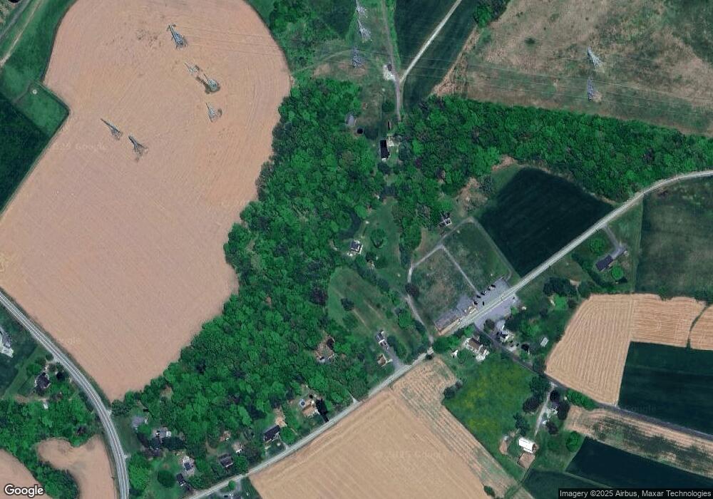
Map
Nearby Homes
- 6 Deer Haven Ln
- 11 Zelda Ct
- 2430 Harris Mill Rd
- 19701 Old York Rd
- 3 Twig Ct
- 5217 Deer Trail
- 5330 Long Corner Rd
- 3 Old Garrett Ct
- 20814 York Rd
- 21015 York Rd
- Hamilton York Rd
- 21043 York Rd
- 5371 Long Corner Rd
- MARGATE York Rd
- 7 Applewood Ct
- 19902 Mikes Way
- 2913 Duncan Rd
- 4861 Norrisville Rd
- 211 Kali Ct
- 4720 Norrisville Rd
- 20328 W Liberty Rd
- 20330 W Liberty Rd
- 20334 W Liberty Rd
- 20324 W Liberty Rd
- 20400 W Liberty Rd
- 20320 W Liberty Rd
- 2303 Meredith Rd
- 20314 W Liberty Rd
- 2304 Meredith Rd
- 2306 Meredith Rd
- 20310 W Liberty Rd
- 20306 W Liberty Rd
- 20501 W Liberty Rd
- 2315 Meredith Rd
- 20311 Old York Rd
- 20302 W Liberty Rd
- 20305 W Liberty Rd
- 20316 Old York Rd
- 20233 Old York Rd
- 20336 W Liberty Rd