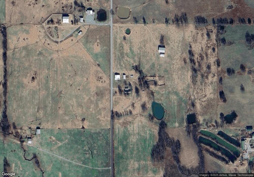
20336 S Coos Thompson Rd Tahlequah, OK 74464
Estimated Value: $154,000
2
Beds
1
Bath
1,276
Sq Ft
$121/Sq Ft
Est. Value
About This Home
This home is located at 20336 S Coos Thompson Rd, Tahlequah, OK 74464 and is currently estimated at $154,000, approximately $120 per square foot. 20336 S Coos Thompson Rd is a home located in Cherokee County with nearby schools including Hulbert Elementary School, Hulbert Jr./Sr. High School, and Hulbert Senior High School.
Ownership History
Date
Name
Owned For
Owner Type
Purchase Details
Closed on
Jun 17, 2024
Sold by
Loftin James W and Loftin Yevonne L
Bought by
Jones Dusty Cole
Current Estimated Value
Purchase Details
Closed on
May 10, 2002
Sold by
Lena Reagan
Bought by
James and Yevonne Loftin
Purchase Details
Closed on
Dec 28, 2001
Sold by
Raymond and Lena Reagan
Bought by
Lena Reagan
Purchase Details
Closed on
Mar 16, 2000
Sold by
Lark and Allie Corder
Bought by
Raymond and Lena Reagan
Create a Home Valuation Report for This Property
The Home Valuation Report is an in-depth analysis detailing your home's value as well as a comparison with similar homes in the area
Home Values in the Area
Average Home Value in this Area
Purchase History
| Date | Buyer | Sale Price | Title Company |
|---|---|---|---|
| Jones Dusty Cole | -- | None Listed On Document | |
| James | $160,000 | -- | |
| Lena Reagan | -- | -- | |
| Raymond | $161,500 | -- |
Source: Public Records
Tax History Compared to Growth
Tax History
| Year | Tax Paid | Tax Assessment Tax Assessment Total Assessment is a certain percentage of the fair market value that is determined by local assessors to be the total taxable value of land and additions on the property. | Land | Improvement |
|---|---|---|---|---|
| 2025 | $462 | $6,180 | $2,251 | $3,929 |
| 2024 | $462 | $5,999 | $2,209 | $3,790 |
| 2023 | $462 | $12,865 | $2,048 | $10,817 |
| 2022 | $1,002 | $12,865 | $2,048 | $10,817 |
| 2021 | $1,012 | $12,865 | $2,048 | $10,817 |
| 2020 | $1,007 | $12,717 | $2,024 | $10,693 |
| 2019 | $991 | $12,346 | $2,000 | $10,346 |
| 2018 | $975 | $11,987 | $1,942 | $10,045 |
| 2017 | $953 | $11,637 | $1,951 | $9,686 |
| 2016 | $935 | $11,299 | $1,704 | $9,595 |
| 2015 | $663 | $9,533 | $1,502 | $8,031 |
| 2014 | $663 | $9,533 | $1,502 | $8,031 |
Source: Public Records
Map
Nearby Homes
- 11261 Highway 51
- 15451 W 791 Rd
- 10611 Oklahoma 51
- 17488 N Vaughn Rd
- 11396 W Joyce Ln
- 16840 W Sierra Cir
- 21098 S 495 Rd
- 21060 S 496 Rd
- 14650 W 835 Rd
- 16605 W Sierra Cir
- 0 W Shady Ln
- 22781 S 490 Rd
- 16809 W 790 Rd
- 0 S 490 Rd
- 2 S 490 Rd
- 21149 S Highway View Dr
- 17039 W Maggie Rd
- 16289 W 810 Rd
- 21039 S Highway View Dr
- 8239 W 800 Rd
- 12617 W 780 Rd
- 20023 S Coos Thompson Rd
- 20505 S 460 Rd
- 20235 S 460 Rd
- 20007 S Coos Thompson Rd
- 20234 S 460 Rd
- 20577 S 460 Rd
- 20611 S 460 Rd
- 20550 S Coos Thompson Rd
- 20631 S Coos Thompson Rd
- 12658 W 790 Rd
- 19870 S 460 Rd
- 12686 W 790 Rd
- 12664 W 790 Rd
- 12638 W 790 Rd
- 12652 W 790 Rd
- 20793 S 460 Rd
- 19636 S Coos Thompson Rd
- 20849 S Coos Thompson Rd
- 20991 S 460 Rd
