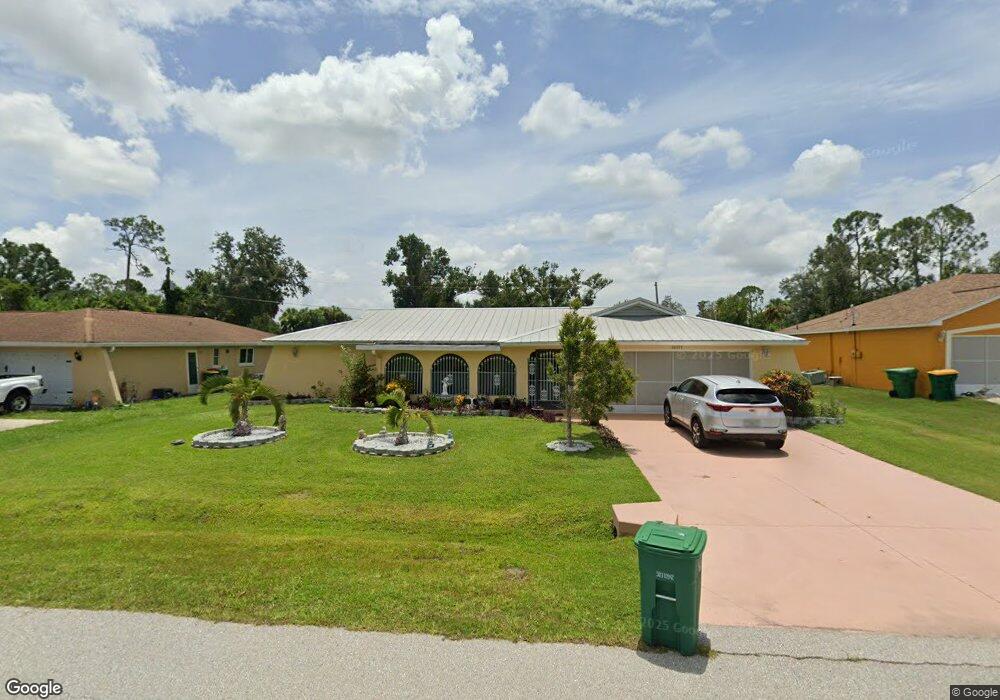
20337 Kinderkemac Ave Port Charlotte, FL 33952
Estimated Value: $284,136 - $357,000
--
Bed
--
Bath
2,500
Sq Ft
$134/Sq Ft
Est. Value
About This Home
This home is located at 20337 Kinderkemac Ave, Port Charlotte, FL 33952 and is currently estimated at $335,034, approximately $134 per square foot. 20337 Kinderkemac Ave is a home located in Charlotte County with nearby schools including Neil Armstrong Elementary School, Murdock Middle School, and Port Charlotte High School.
Ownership History
Date
Name
Owned For
Owner Type
Purchase Details
Closed on
Jul 2, 2025
Sold by
Chapman Sharon and Curtis-Chapman Marlaina Storm
Bought by
Thompson Beatrice
Current Estimated Value
Purchase Details
Closed on
May 30, 2023
Sold by
Unknown
Bought by
Thompson Beatrice
Purchase Details
Closed on
Jul 20, 2021
Sold by
Curtis Chapman Marlaina Strom and Chapman Sharon
Bought by
Thompson Beatrice
Purchase Details
Closed on
Nov 7, 1996
Sold by
Thompson Roland E and Thompson Beatrice
Bought by
Thompson Roland E and Thompson Beatrice
Create a Home Valuation Report for This Property
The Home Valuation Report is an in-depth analysis detailing your home's value as well as a comparison with similar homes in the area
Home Values in the Area
Average Home Value in this Area
Purchase History
| Date | Buyer | Sale Price | Title Company |
|---|---|---|---|
| Thompson Beatrice | $100 | None Listed On Document | |
| Thompson Beatrice | $100 | Opinion Of Title | |
| Thompson Beatrice | -- | Accommodation | |
| Thompson Roland E | -- | -- |
Source: Public Records
Tax History Compared to Growth
Tax History
| Year | Tax Paid | Tax Assessment Tax Assessment Total Assessment is a certain percentage of the fair market value that is determined by local assessors to be the total taxable value of land and additions on the property. | Land | Improvement |
|---|---|---|---|---|
| 2024 | $1,360 | $107,289 | -- | -- |
| 2023 | $1,360 | $104,164 | $0 | $0 |
| 2022 | $1,344 | $101,130 | $0 | $0 |
| 2021 | $1,333 | $98,184 | $0 | $0 |
| 2020 | $1,295 | $96,828 | $0 | $0 |
| 2019 | $1,224 | $94,651 | $0 | $0 |
| 2018 | $1,102 | $92,886 | $0 | $0 |
| 2017 | $1,093 | $90,976 | $0 | $0 |
| 2016 | $1,342 | $89,105 | $0 | $0 |
| 2015 | $1,326 | $88,486 | $0 | $0 |
| 2014 | $1,301 | $87,784 | $0 | $0 |
Source: Public Records
Map
Nearby Homes
- 20190 Rutherford Ave
- 20297 Kinderkemac Ave
- 20296 Rutherford Ave
- 1469 Proper St
- 1357 Nimrod St
- 1381 Fargo St
- 1317 Arrow St
- 20246 Rutherford Ave
- 1358 Fargo St
- 20246 Hamilton Ave
- 20352 Astoria Ave
- 1302 Arrow St
- 20284 Emerald Ave
- 1366 Preston St
- 20330 Emerald Ave
- 20310 Lorenzo Ave
- 20214 Hamilton Ave
- 20390 Lorenzo Ave
- 20191 Rutherford Ave
- 20260 Tralee Dr
- 20329 Kinderkemac Ave
- 20345 Kinderkemac Ave
- 20336 Rutherford Ave
- 20328 Rutherford Ave
- 20344 Kinderkemac Ave
- 20344 Rutherford Ave
- 20321 Kinderkemac Ave
- 1390 Arrow St
- 1389 Arrow St
- 20361 Kinderkemac Ave
- 1382 Arrow St
- 20312 Rutherford Ave
- 20360 Rutherford Ave
- 20343 Rutherford Ave
- 20327 Rutherford Ave
- 20305 Kinderkemac Ave
- 1373 Arrow St
- 1435 Proper St
- 20304 Rutherford Ave
- 1382 Nimrod St