Estimated Value: $406,000 - $586,182
1
Bed
2
Baths
2,519
Sq Ft
$203/Sq Ft
Est. Value
About This Home
This home is located at 20338 Farm Road 2012, Crane, MO 65633 and is currently estimated at $510,727, approximately $202 per square foot. 20338 Farm Road 2012 is a home with nearby schools including Pate Early Childhood Center, Robinson Elementary School, and Robinson Intermediate School.
Ownership History
Date
Name
Owned For
Owner Type
Purchase Details
Closed on
Oct 11, 2021
Sold by
Baum Dianne L
Bought by
Essary Kacey J and Essary Jared R
Current Estimated Value
Home Financials for this Owner
Home Financials are based on the most recent Mortgage that was taken out on this home.
Original Mortgage
$414,000
Outstanding Balance
$377,529
Interest Rate
2.8%
Mortgage Type
New Conventional
Estimated Equity
$133,198
Create a Home Valuation Report for This Property
The Home Valuation Report is an in-depth analysis detailing your home's value as well as a comparison with similar homes in the area
Home Values in the Area
Average Home Value in this Area
Purchase History
| Date | Buyer | Sale Price | Title Company |
|---|---|---|---|
| Essary Kacey J | -- | Meridian Title Company |
Source: Public Records
Mortgage History
| Date | Status | Borrower | Loan Amount |
|---|---|---|---|
| Open | Essary Kacey J | $414,000 |
Source: Public Records
Tax History Compared to Growth
Tax History
| Year | Tax Paid | Tax Assessment Tax Assessment Total Assessment is a certain percentage of the fair market value that is determined by local assessors to be the total taxable value of land and additions on the property. | Land | Improvement |
|---|---|---|---|---|
| 2025 | $1,714 | $38,647 | $3,326 | $35,321 |
| 2024 | $1,714 | $35,759 | $3,326 | $32,433 |
| 2023 | $1,708 | $35,759 | $3,326 | $32,433 |
| 2022 | $1,691 | $35,379 | $2,946 | $32,433 |
| 2021 | $1,665 | $34,619 | $2,186 | $32,433 |
| 2020 | $1,665 | $34,619 | $2,186 | $32,433 |
| 2018 | $1,639 | $34,631 | $2,198 | $32,433 |
| 2017 | $1,612 | $34,099 | $2,198 | $31,901 |
| 2016 | $1,621 | $34,099 | $1,818 | $32,281 |
| 2015 | -- | $34,099 | $1,818 | $32,281 |
| 2014 | -- | $34,087 | $1,806 | $32,281 |
| 2012 | -- | $0 | $0 | $0 |
Source: Public Records
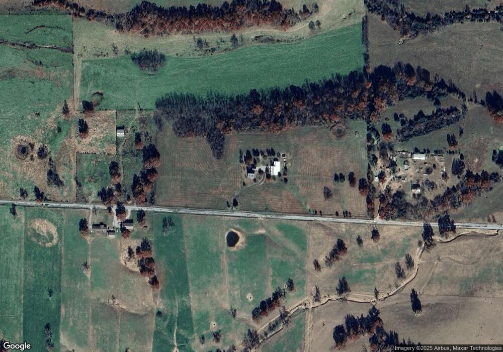
Map
Nearby Homes
- 000 Farm Road 1200
- Tract 1 Farm Rd 2020 & 1200
- 00 Farm Road 1200
- 00 Farm Road 1200
- Tract 2 Farm Rd 1200
- 1946 Cattle Dr
- 1985 Cattle Dr
- 1757 Farm Road 1200
- 1967 Cattle Dr
- 16427 Farm Road 2007
- 19038 Farm Road 2020
- 000 Farm Road 1220
- 22675 Farm Road 2012
- 000 Lawrence 2230
- 22965 Lawrence 1210
- 21218 Lawrence 2230
- 21228 Lawrence 2230
- 22783 Lawrence 1210
- 21194 Lawrence 2230
- 20338 Farm Road 2012
- 333 !Dnp!
- TBD Fr 1180 Parcel A
- 0 Tall Oaks Unit 10808015
- 0 Tall Oaks Unit 10808014
- 0 Tall Oaks Unit 10808011
- 0 Tall Oaks Unit 10808019
- 0 Tall Oaks Unit 10808012
- 0 Tall Oaks Unit 10808010
- 0 Tall Oaks Unit 10808016
- 0 Rt 2 Unit B 132 10810244
- 0 Redbud Unit 10810683
- 0 Rt 2 Unit B 194 10814994
- 0 Hc 1 Unit B 16 10813287
- 0 Honey Creek Hills Unit 10814336
- TBD Farroad 1170
- 0 Rt 2 Unit B 177 10815862
- TBD Mcphail
- 0 Mcphail Unit 10817133
- TBD Jct 39 & Ee