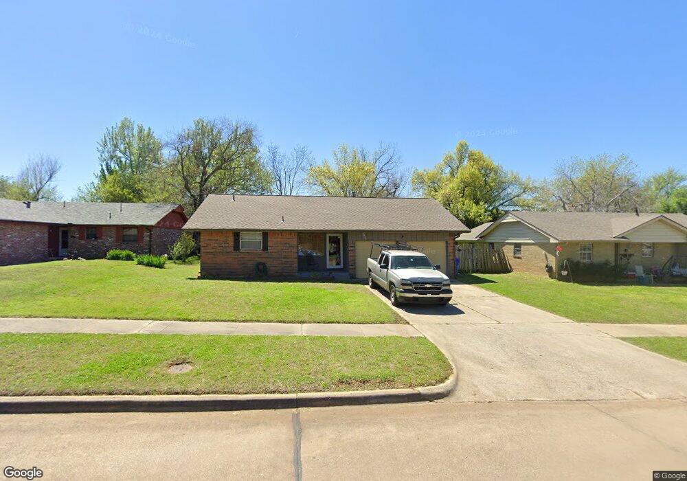
2034 Allenhurst St Norman, OK 73071
Southeast Norman NeighborhoodEstimated Value: $154,031 - $190,000
3
Beds
2
Baths
996
Sq Ft
$171/Sq Ft
Est. Value
About This Home
This home is located at 2034 Allenhurst St, Norman, OK 73071 and is currently estimated at $170,258, approximately $170 per square foot. 2034 Allenhurst St is a home located in Cleveland County with nearby schools including Kennedy Elementary School, Irving Middle School, and Norman High School.
Ownership History
Date
Name
Owned For
Owner Type
Purchase Details
Closed on
Dec 8, 2005
Sold by
Grauer Foundation For Education
Bought by
Mccarty Tommy R and Mccarty Jewell K
Current Estimated Value
Home Financials for this Owner
Home Financials are based on the most recent Mortgage that was taken out on this home.
Original Mortgage
$70,000
Interest Rate
6.12%
Mortgage Type
Purchase Money Mortgage
Create a Home Valuation Report for This Property
The Home Valuation Report is an in-depth analysis detailing your home's value as well as a comparison with similar homes in the area
Home Values in the Area
Average Home Value in this Area
Purchase History
| Date | Buyer | Sale Price | Title Company |
|---|---|---|---|
| Mccarty Tommy R | $70,000 | None Available | |
| Grauer Foundation For Education | -- | None Available |
Source: Public Records
Mortgage History
| Date | Status | Borrower | Loan Amount |
|---|---|---|---|
| Closed | Mccarty Tommy R | $70,000 |
Source: Public Records
Tax History Compared to Growth
Tax History
| Year | Tax Paid | Tax Assessment Tax Assessment Total Assessment is a certain percentage of the fair market value that is determined by local assessors to be the total taxable value of land and additions on the property. | Land | Improvement |
|---|---|---|---|---|
| 2024 | $1,265 | $10,565 | $2,652 | $7,913 |
| 2023 | $1,208 | $10,062 | $2,616 | $7,446 |
| 2022 | $1,103 | $9,582 | $1,800 | $7,782 |
| 2021 | $1,163 | $9,582 | $1,800 | $7,782 |
| 2020 | $1,138 | $9,582 | $1,800 | $7,782 |
| 2019 | $1,157 | $9,582 | $1,800 | $7,782 |
| 2018 | $1,123 | $9,583 | $1,800 | $7,783 |
| 2017 | $1,135 | $9,583 | $0 | $0 |
| 2016 | $1,127 | $9,351 | $1,756 | $7,595 |
| 2015 | -- | $8,906 | $1,123 | $7,783 |
| 2014 | -- | $8,906 | $1,123 | $7,783 |
Source: Public Records
Map
Nearby Homes
- 1301 Whippoorwill Dr
- 1600 Rolling Stone Dr
- 1603 Oakcrest Ave
- 1812 Ridgewood Dr
- 2361 Heatherfield Ln
- 1833 Parkridge Dr
- 1723 E Lindsey St Unit 2
- 1817 E Lindsey St Unit 3
- 1813 E Lindsey St Unit 4
- 1848 Parkridge Dr
- 916 Beaumont Square
- 1633 Creekside Ln
- 833 Beaumont Square
- 1813 Candlewood Dr
- 1900 Twin Tree Dr
- 809 Beaumont Square
- 1346 Concord Ct
- 1404 1406 Concord Dr
- 1421 Teakwood Dr
- 1621 Woodcreek Ct
- 2038 Allenhurst St
- 2030 Allenhurst St
- 2017 Elmhurst Dr
- 2100 Allenhurst St
- 2021 Elmhurst Dr
- 2026 Allenhurst St
- 2013 Elmhurst Dr
- 2039 Allenhurst St
- 2025 Elmhurst Dr
- 2104 Allenhurst St
- 2035 Allenhurst St
- 2043 Allenhurst St
- 2103 Allenhurst St
- 2022 Allenhurst St
- 2009 Elmhurst Dr
- 2031 Allenhurst St
- 2029 Elmhurst Dr
- 2109 Allenhurst St
- 2108 Allenhurst St
- 2027 Allenhurst St