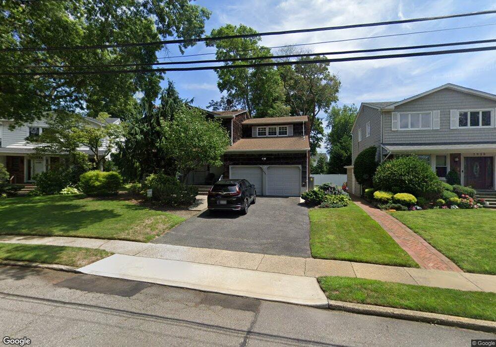
2034 Berfond Ct Merrick, NY 11566
Estimated Value: $1,041,000 - $1,077,953
4
Beds
3
Baths
2,481
Sq Ft
$427/Sq Ft
Est. Value
About This Home
This home is located at 2034 Berfond Ct, Merrick, NY 11566 and is currently estimated at $1,059,477, approximately $427 per square foot. 2034 Berfond Ct is a home located in Nassau County with nearby schools including Burcham Elementary School, Merrick Avenue Middle School, and John F. Kennedy High School.
Ownership History
Date
Name
Owned For
Owner Type
Purchase Details
Closed on
Jun 30, 2021
Sold by
Popkin Joan
Bought by
Kaplan David and Kaplan K
Current Estimated Value
Home Financials for this Owner
Home Financials are based on the most recent Mortgage that was taken out on this home.
Original Mortgage
$670,400
Outstanding Balance
$605,640
Interest Rate
2.9%
Mortgage Type
New Conventional
Estimated Equity
$453,837
Create a Home Valuation Report for This Property
The Home Valuation Report is an in-depth analysis detailing your home's value as well as a comparison with similar homes in the area
Home Values in the Area
Average Home Value in this Area
Purchase History
| Date | Buyer | Sale Price | Title Company |
|---|---|---|---|
| Kaplan David | $838,000 | Chicago Title | |
| Kaplan David | $838,000 | Chicago Title | |
| Kaplan David | $838,000 | Chicago Title | |
| Kaplan David | $838,000 | Chicago Title |
Source: Public Records
Mortgage History
| Date | Status | Borrower | Loan Amount |
|---|---|---|---|
| Open | Kaplan David | $670,400 | |
| Closed | Kaplan David | $670,400 |
Source: Public Records
Tax History Compared to Growth
Tax History
| Year | Tax Paid | Tax Assessment Tax Assessment Total Assessment is a certain percentage of the fair market value that is determined by local assessors to be the total taxable value of land and additions on the property. | Land | Improvement |
|---|---|---|---|---|
| 2025 | $19,579 | $645 | $266 | $379 |
| 2024 | $4,541 | $670 | $276 | $394 |
| 2023 | $18,348 | $695 | $287 | $408 |
| 2022 | $18,348 | $679 | $280 | $399 |
| 2021 | $20,919 | $669 | $257 | $412 |
| 2020 | $14,209 | $825 | $680 | $145 |
| 2019 | $4,111 | $884 | $693 | $191 |
| 2018 | $10,198 | $930 | $0 | $0 |
| 2017 | $9,275 | $930 | $579 | $351 |
| 2016 | $13,255 | $1,171 | $576 | $595 |
| 2015 | $4,905 | $1,236 | $608 | $628 |
| 2014 | $4,905 | $1,236 | $608 | $628 |
| 2013 | $5,561 | $1,481 | $729 | $752 |
Source: Public Records
Map
Nearby Homes
- 72 Lake End Rd
- 1945 Byron Rd
- 217 Bayview Ave
- 1360-1370 Merrick Rd
- 163 Wynsum Ave
- 110 Hampton Way
- 2729 Shore Dr
- 2072 Brighton Way
- 60 Montauk Ave
- 2819 Harbor Rd
- 1825 Alice St
- 2810 Wynsum Ave
- 174 Babylon Turnpike
- 2770 Lincoln Blvd
- 2 Dorothy Ct
- 48 Rosebud Ave
- 31 Alice St
- 43 Wynsum Ave
- 44 Keeler Ave
- 2863 Harbor Rd
- 2028 Berfond Ct
- 2038 Berfond Ct
- 2629 Merrick Ave
- 2621 Merrick Ave
- 2042 Berfond Ct
- 2037 Berfond Ct
- 2635 Merrick Ave
- 2057 Berfond Ct
- 2039 Byron Rd
- 2045 Byron Rd
- 2628 Orr St
- 2615 Merrick Ave
- 2615 S Merrick Ave
- 2622 Orr St
- 2033 Byron Rd
- 2641 Merrick Ave
- 2053 Berfond Ct
- 12 Orr St
- 224 S Merrick Ave
- 2601 Merrick Ave