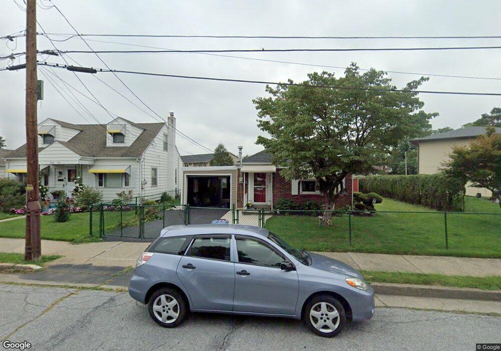
2034 Boyd St Bethlehem, PA 18017
Estimated Value: $248,475 - $300,000
3
Beds
1
Bath
966
Sq Ft
$290/Sq Ft
Est. Value
About This Home
This home is located at 2034 Boyd St, Bethlehem, PA 18017 and is currently estimated at $280,619, approximately $290 per square foot. 2034 Boyd St is a home located in Northampton County with nearby schools including Lincoln Elementary School, Northeast Middle School, and Liberty High School.
Ownership History
Date
Name
Owned For
Owner Type
Purchase Details
Closed on
Oct 1, 1993
Sold by
Hartrum Joan C
Bought by
Hartrum Joan C
Current Estimated Value
Purchase Details
Closed on
Mar 1, 1989
Bought by
Hartrum Joan C
Create a Home Valuation Report for This Property
The Home Valuation Report is an in-depth analysis detailing your home's value as well as a comparison with similar homes in the area
Home Values in the Area
Average Home Value in this Area
Purchase History
| Date | Buyer | Sale Price | Title Company |
|---|---|---|---|
| Hartrum Joan C | $86,000 | -- | |
| Hartrum Joan C | -- | -- |
Source: Public Records
Tax History
| Year | Tax Paid | Tax Assessment Tax Assessment Total Assessment is a certain percentage of the fair market value that is determined by local assessors to be the total taxable value of land and additions on the property. | Land | Improvement |
|---|---|---|---|---|
| 2025 | $457 | $42,300 | $15,300 | $27,000 |
| 2024 | $3,739 | $42,300 | $15,300 | $27,000 |
| 2023 | $3,739 | $42,300 | $15,300 | $27,000 |
| 2022 | $3,710 | $42,300 | $15,300 | $27,000 |
| 2021 | $3,685 | $42,300 | $15,300 | $27,000 |
| 2020 | $3,650 | $42,300 | $15,300 | $27,000 |
| 2019 | $3,637 | $42,300 | $15,300 | $27,000 |
| 2018 | $3,549 | $42,300 | $15,300 | $27,000 |
| 2017 | $3,507 | $42,300 | $15,300 | $27,000 |
| 2016 | -- | $42,300 | $15,300 | $27,000 |
| 2015 | -- | $42,300 | $15,300 | $27,000 |
| 2014 | -- | $42,300 | $15,300 | $27,000 |
Source: Public Records
Map
Nearby Homes
- 2152 East Blvd
- 2312 Lafayette Ave
- 2236 Lincoln St
- 2850 Jefferson St
- 1568 Luzerne St
- 1569 Fleming St
- 2145 Henderson St
- 2524 East Blvd
- 1527 Livingston St
- 3023 Middletown Rd
- 936 Marion St
- 2012 Kemmerer St
- 918 Marion St
- 943 Crawford St
- 937 Ramblewood Ln
- 1510 Covington Place
- 2529 Hampshire Rd
- 942 Greenhouse Dr Unit 5B
- 1137 Lynnhurst Place
- 2328 Linden St
Your Personal Tour Guide
Ask me questions while you tour the home.