Estimated Value: $398,000 - $670,729
--
Bed
1
Bath
2,076
Sq Ft
$236/Sq Ft
Est. Value
About This Home
This home is located at 2034 Cranford Rd, Cairo, GA 39828 and is currently estimated at $490,576, approximately $236 per square foot. 2034 Cranford Rd is a home with nearby schools including Cairo High School.
Ownership History
Date
Name
Owned For
Owner Type
Purchase Details
Closed on
Jan 15, 2020
Sold by
Godwin Michael C
Bought by
Todd David and Todd Randi
Current Estimated Value
Home Financials for this Owner
Home Financials are based on the most recent Mortgage that was taken out on this home.
Original Mortgage
$165,000
Interest Rate
3.7%
Mortgage Type
New Conventional
Purchase Details
Closed on
Aug 19, 1975
Bought by
Godwin Michael C
Create a Home Valuation Report for This Property
The Home Valuation Report is an in-depth analysis detailing your home's value as well as a comparison with similar homes in the area
Home Values in the Area
Average Home Value in this Area
Purchase History
| Date | Buyer | Sale Price | Title Company |
|---|---|---|---|
| Todd David | $183,340 | -- | |
| Godwin Michael C | -- | -- |
Source: Public Records
Mortgage History
| Date | Status | Borrower | Loan Amount |
|---|---|---|---|
| Closed | Todd David | $165,000 |
Source: Public Records
Tax History Compared to Growth
Tax History
| Year | Tax Paid | Tax Assessment Tax Assessment Total Assessment is a certain percentage of the fair market value that is determined by local assessors to be the total taxable value of land and additions on the property. | Land | Improvement |
|---|---|---|---|---|
| 2024 | $4,811 | $201,685 | $53,173 | $148,512 |
| 2023 | $3,240 | $133,502 | $35,837 | $97,665 |
| 2022 | $3,232 | $133,502 | $35,837 | $97,665 |
| 2021 | $2,673 | $113,325 | $35,837 | $77,488 |
| 2020 | $273 | $35,837 | $35,837 | $0 |
| 2019 | $265 | $35,837 | $35,837 | $0 |
| 2018 | $242 | $35,837 | $35,837 | $0 |
| 2017 | $224 | $35,837 | $35,837 | $0 |
| 2016 | $219 | $35,837 | $35,837 | $0 |
| 2015 | $210 | $35,837 | $35,837 | $0 |
| 2014 | -- | $35,837 | $35,837 | $0 |
| 2013 | -- | $35,279 | $35,279 | $0 |
Source: Public Records
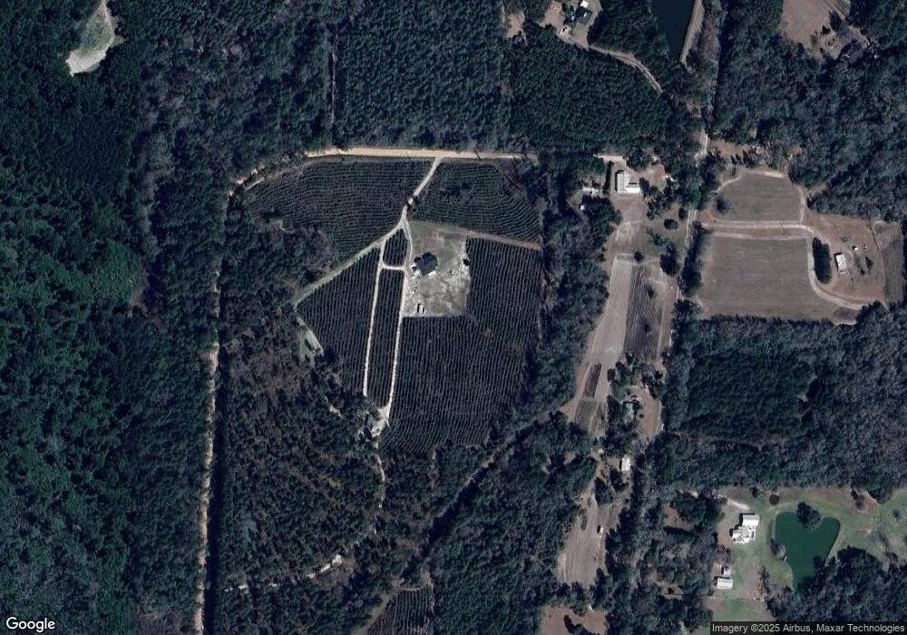
Map
Nearby Homes
- 7501 111 S
- 1217 Pine Park Rd
- 171 Council Ln
- 1870 Oakdale Rd SE
- 140 Elderberry Ln
- 1854 Lakewood Dr SE
- 130 17th Ave SE
- 198 Oakdale Rd SE
- 169 Rosencrantz Rd
- 1406 Platt Ave
- 392 Midway Rd
- 75 14th Ave SE
- 1310 Stone Ave
- 000 Magnolia Dr NW
- 1193 S Broad St
- 109 Oriac Ave SW
- 270 Muggridge Ln
- 117 Pine Cir SW
- 530 6th St
- 112 Pine Cir SW
- 2082 Cranford Rd
- 2394 Hadley Ferry Rd
- 2486 Hadley Ferry Rd
- 2516 Hadley Ferry Rd
- 2509 Hadley Ferry Rd
- 2365 Hadley Ferry Rd
- 2345 Hadley Ferry Rd
- 51 Acres Cranford Rd
- 2535 Hadley Ferry Rd
- 2330 Hadley Ferry Rd
- 2510 Hadley Ferry Rd
- 2574 Hadley Ferry Rd
- 2307 Hadley Ferry Rd
- 2559 Hadley Ferry Rd
- 2517 Hadley Ferry Rd
- 2282 Hadley Ferry Rd
- 2585 Hadley Ferry Rd
- 2274 Hadley Ferry Rd
- 2262 Hadley Ferry Rd
- 2261 Hadley Ferry Rd