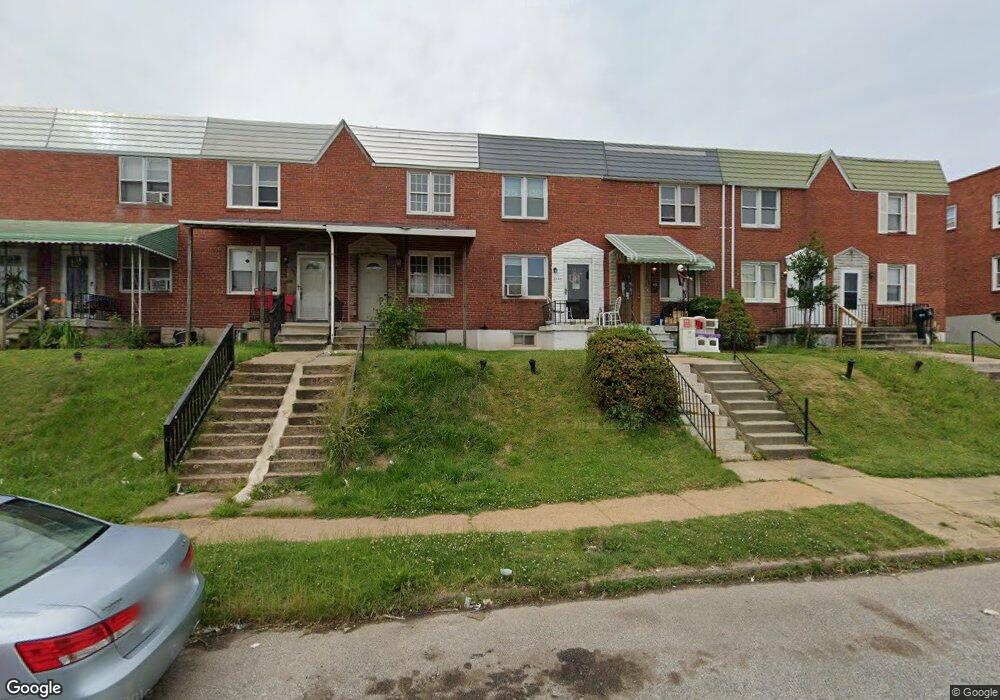
2034 Grinnalds Ave Baltimore, MD 21230
Morrell Park NeighborhoodEstimated Value: $85,000 - $99,028
2
Beds
2
Baths
1,015
Sq Ft
$91/Sq Ft
Est. Value
About This Home
This home is located at 2034 Grinnalds Ave, Baltimore, MD 21230 and is currently estimated at $92,014, approximately $90 per square foot. 2034 Grinnalds Ave is a home located in Baltimore City with nearby schools including Morrell Park Elementary/Middle School, Booker T. Washington Middle School, and Digital Harbor High School.
Ownership History
Date
Name
Owned For
Owner Type
Purchase Details
Closed on
Sep 14, 2016
Sold by
Fortman Robert T
Bought by
Vukovan Patricia Ann
Current Estimated Value
Purchase Details
Closed on
Jun 18, 2001
Sold by
Secretary Of Housing
Bought by
Fortman Robert
Purchase Details
Closed on
Sep 7, 2000
Sold by
Divers Clarence Robert
Bought by
Secretary Of Housing and Urban Development Of
Purchase Details
Closed on
Jan 5, 1996
Sold by
Streaker William W
Bought by
Divers Clarence Robert
Purchase Details
Closed on
Apr 15, 1991
Sold by
Ottey Shirley J
Bought by
Divers Clarence Robert
Create a Home Valuation Report for This Property
The Home Valuation Report is an in-depth analysis detailing your home's value as well as a comparison with similar homes in the area
Home Values in the Area
Average Home Value in this Area
Purchase History
| Date | Buyer | Sale Price | Title Company |
|---|---|---|---|
| Vukovan Patricia Ann | $48,000 | Attorney | |
| Fortman Robert | $24,932 | -- | |
| Secretary Of Housing | $50,000 | -- | |
| Divers Clarence Robert | $40,175 | -- | |
| Divers Clarence Robert | $57,500 | -- |
Source: Public Records
Tax History
| Year | Tax Paid | Tax Assessment Tax Assessment Total Assessment is a certain percentage of the fair market value that is determined by local assessors to be the total taxable value of land and additions on the property. | Land | Improvement |
|---|---|---|---|---|
| 2025 | $1,194 | $68,400 | -- | -- |
| 2024 | $1,194 | $61,800 | -- | -- |
| 2023 | $1,181 | $55,200 | $12,000 | $43,200 |
| 2022 | $887 | $55,200 | $12,000 | $43,200 |
| 2021 | $1,303 | $55,200 | $12,000 | $43,200 |
| 2020 | $1,182 | $50,100 | $12,000 | $38,100 |
| 2019 | $1,177 | $50,100 | $12,000 | $38,100 |
| 2018 | $1,182 | $50,100 | $12,000 | $38,100 |
| 2017 | $1,513 | $64,100 | $0 | $0 |
| 2016 | $2,861 | $64,100 | $0 | $0 |
| 2015 | $2,861 | $64,100 | $0 | $0 |
| 2014 | $2,861 | $107,400 | $0 | $0 |
Source: Public Records
Map
Nearby Homes
- 2006 Grinnalds Ave
- 1935 Grinnalds Ave
- 1933 Grinnalds Ave
- 2039 Grinnalds Ave
- 1913 Harman Ave
- 2453 Washington Blvd
- 1933 Griffis Ave
- 2506 Washington Blvd
- 2104 Whistler Ave
- 0 Harman Ave
- 1918 Parksley Ave
- 1707 Harman Ave
- 1704 Harman Ave
- 2315 Washington Blvd
- 1703 - 1707 1/2 Spence St
- 2000 Hollins Ferry Rd
- 1701 Spence St
- 1637 Spence St
- 2305 Herkimer St
- 2036 Deering Ave
- 2036 Grinnalds Ave
- 2032 Grinnalds Ave
- 2038 Grinnalds Ave
- 2040 Grinnalds Ave
- 2028 Grinnalds Ave
- 2042 Grinnalds Ave
- 2044 Grinnalds Ave
- 2026 Grinnalds Ave
- 2046 Grinnalds Ave
- 2024 Grinnalds Ave
- 2048 Grinnalds Ave
- 2022 Grinnalds Ave
- 2035 Harman Ave
- 2037 Harman Ave
- 2033 Harman Ave
- 2031 Harman Ave
- 2039 Harman Ave
- 2050 Grinnalds Ave
- 2041 Harman Ave
- 2029 Harman Ave
Your Personal Tour Guide
Ask me questions while you tour the home.