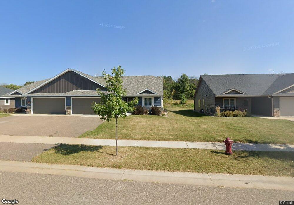
2034 Michael Ln River Falls, WI 54022
Estimated Value: $352,593 - $412,000
3
Beds
2
Baths
--
Sq Ft
6,970
Sq Ft Lot
About This Home
This home is located at 2034 Michael Ln, River Falls, WI 54022 and is currently estimated at $378,648. 2034 Michael Ln is a home located in Pierce County with nearby schools including Rocky Branch Elementary School, Meyer Middle School, and River Falls High School.
Ownership History
Date
Name
Owned For
Owner Type
Purchase Details
Closed on
Apr 2, 2021
Sold by
Merek Trust
Bought by
Merek Mary A
Current Estimated Value
Purchase Details
Closed on
Sep 27, 2019
Sold by
Clay Aaron M and Clay Shelly Jo
Bought by
Marek Trust
Purchase Details
Closed on
May 31, 2018
Sold by
Gmtz Llc
Bought by
Clay Aaron M and Clay Shelly Jo
Home Financials for this Owner
Home Financials are based on the most recent Mortgage that was taken out on this home.
Original Mortgage
$290,000
Interest Rate
4.4%
Mortgage Type
New Conventional
Create a Home Valuation Report for This Property
The Home Valuation Report is an in-depth analysis detailing your home's value as well as a comparison with similar homes in the area
Home Values in the Area
Average Home Value in this Area
Purchase History
| Date | Buyer | Sale Price | Title Company |
|---|---|---|---|
| Merek Mary A | -- | None Available | |
| Marek Trust | $235,000 | None Available | |
| Clay Aaron M | $40,000 | None Available |
Source: Public Records
Mortgage History
| Date | Status | Borrower | Loan Amount |
|---|---|---|---|
| Previous Owner | Clay Aaron M | $290,000 |
Source: Public Records
Tax History
| Year | Tax Paid | Tax Assessment Tax Assessment Total Assessment is a certain percentage of the fair market value that is determined by local assessors to be the total taxable value of land and additions on the property. | Land | Improvement |
|---|---|---|---|---|
| 2025 | $4,796 | $292,300 | $49,000 | $243,300 |
| 2024 | $4,959 | $235,000 | $32,700 | $202,300 |
| 2023 | $4,819 | $235,000 | $32,700 | $202,300 |
| 2022 | $3,970 | $235,000 | $32,700 | $202,300 |
| 2021 | $3,960 | $235,000 | $32,700 | $202,300 |
| 2020 | $4,535 | $190,000 | $23,000 | $167,000 |
| 2019 | $4,272 | $184,000 | $23,000 | $161,000 |
| 2018 | $538 | $23,000 | $23,000 | $0 |
Source: Public Records
Map
Nearby Homes
- 2065 Michael Ln
- 1988 Michael Ln
- 1894 Kristy St
- 1837 Bennett St
- 1843 Kristy St
- 1794 Bennett St
- 2136 Greenwood Valley Dr
- N8147 1015th St
- TBD 1015th St
- 1164 Bartosh Ln Unit 1
- 723 High Ridge Rd
- 717 High Ridge Rd
- 1815 Morning Glory Dr
- 1807 Morning Glory Dr
- 1450 S Wasson Ln
- N8185 945th St
- 404 S Winter St
- 522 E Walnut St
- 203 S 4th St
- 103 S 6th St
- 2028 Michael Ln
- 2044 Michael Ln
- 2050 Michael Ln
- 2016 Michael Ln
- 2012 Michael Ln
- 2062 Michael Ln
- 2023 Michael Ln
- 2072 Michael Ln
- 2039 Michael Ln
- 2009 Michael Ln
- 2053 Michael Ln
- 1998 Michael Ln
- 2078 Michael Ln
- 2090 Michael Ln
- 2079 Michael Ln
- 1992 Michael Ln
- 2004 Lexi St
- 2004 Lexi St
- 1982 Lexi St
- 2026 Lexi St
Your Personal Tour Guide
Ask me questions while you tour the home.