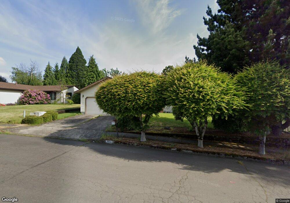
2034 SE Kane Ave Gresham, OR 97080
Mount Hood NeighborhoodEstimated Value: $408,000 - $466,000
3
Beds
2
Baths
1,292
Sq Ft
$334/Sq Ft
Est. Value
About This Home
This home is located at 2034 SE Kane Ave, Gresham, OR 97080 and is currently estimated at $431,801, approximately $334 per square foot. 2034 SE Kane Ave is a home located in Multnomah County with nearby schools including Hogan Cedars Elementary School, West Orient Middle School, and Sam Barlow High School.
Ownership History
Date
Name
Owned For
Owner Type
Purchase Details
Closed on
Aug 1, 1998
Sold by
Lublink Robert
Bought by
Olbrich Michael B
Current Estimated Value
Home Financials for this Owner
Home Financials are based on the most recent Mortgage that was taken out on this home.
Original Mortgage
$110,600
Outstanding Balance
$22,496
Interest Rate
6.93%
Mortgage Type
Purchase Money Mortgage
Estimated Equity
$409,305
Create a Home Valuation Report for This Property
The Home Valuation Report is an in-depth analysis detailing your home's value as well as a comparison with similar homes in the area
Home Values in the Area
Average Home Value in this Area
Purchase History
| Date | Buyer | Sale Price | Title Company |
|---|---|---|---|
| Olbrich Michael B | $138,250 | Oregon Title Insurance Co |
Source: Public Records
Mortgage History
| Date | Status | Borrower | Loan Amount |
|---|---|---|---|
| Open | Olbrich Michael B | $110,600 |
Source: Public Records
Tax History
| Year | Tax Paid | Tax Assessment Tax Assessment Total Assessment is a certain percentage of the fair market value that is determined by local assessors to be the total taxable value of land and additions on the property. | Land | Improvement |
|---|---|---|---|---|
| 2025 | $4,991 | $245,250 | -- | -- |
| 2024 | $4,777 | $238,110 | -- | -- |
| 2023 | $4,353 | $231,180 | $0 | $0 |
| 2022 | $4,231 | $224,450 | $0 | $0 |
| 2021 | $4,124 | $217,920 | $0 | $0 |
| 2020 | $3,881 | $211,580 | $0 | $0 |
| 2019 | $3,779 | $205,420 | $0 | $0 |
| 2018 | $3,603 | $199,440 | $0 | $0 |
| 2017 | $3,457 | $193,640 | $0 | $0 |
| 2016 | $3,048 | $188,000 | $0 | $0 |
Source: Public Records
Map
Nearby Homes
- 2073 SE Kane Ave
- 3122 SE 23rd St
- 2846 SE 18th Cir
- 2624 SE Hale Way
- 2037 SE Centurion Way
- 3780 SE 21st Dr
- 2696 SE Palmquist Rd
- 3788 SE 25th St
- 3689 SE 14th St
- 2392 SE 16th Aly
- 2245 SE Wendy Dr
- 2910 SE Hillyard Rd
- 2240 SE 16th St
- 2358 SE Palmquist Rd
- 2293 SE 15th Aly
- 2125 SE 18th Aly
- 1230 SE Barnes Rd
- 2137 SE 15th Aly
- 3169 SE 34th St
- 0 SE Powell Valley Rd Unit 257585008
- 2022 SE Kane Ave
- 2046 SE Kane Ave
- 2014 SE Kane Ave
- 2037 SE Kane Ave
- 2058 SE Kane Ave
- 2025 SE Kane Ave
- 2049 SE Kane Ave
- 2064 SE Kane Ave
- 1972 SE Hale Dr
- 2013 SE Kane Ave
- 2064 SE Kane Avenotbusy
- 2064 SE Kane Avenot Busy
- 1920 SE Hale Dr
- 2116 SE Hale Dr
- 2061 SE Kane Ave
- 2128 SE Paropa Ave
- 1870 SE Hale Dr
- 1850 SE Hale Dr
- 2068 SE Kane Ave
- 2152 SE Paropa Ave
Your Personal Tour Guide
Ask me questions while you tour the home.