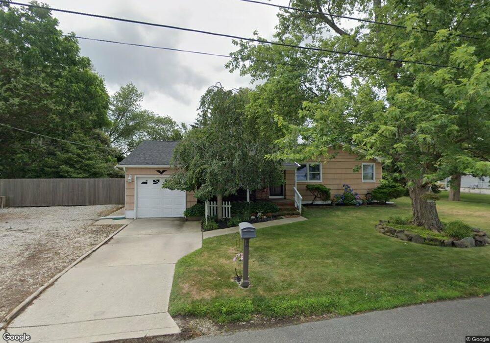
2034 Sutton Ave Northfield, NJ 08225
Estimated Value: $378,243 - $482,000
Studio
--
Bath
1,636
Sq Ft
$264/Sq Ft
Est. Value
About This Home
This home is located at 2034 Sutton Ave, Northfield, NJ 08225 and is currently estimated at $432,311, approximately $264 per square foot. 2034 Sutton Ave is a home located in Atlantic County with nearby schools including Northfield Community Elementary School, Northfield Community Middle School, and Mainland Regional High School.
Ownership History
Date
Name
Owned For
Owner Type
Purchase Details
Closed on
Jul 31, 1997
Sold by
Michelette Paul and Michelette Shirley M
Bought by
Rabey Charles J and Rabey Colleen A
Current Estimated Value
Home Financials for this Owner
Home Financials are based on the most recent Mortgage that was taken out on this home.
Original Mortgage
$100,000
Outstanding Balance
$12,546
Interest Rate
7.55%
Estimated Equity
$419,765
Create a Home Valuation Report for This Property
The Home Valuation Report is an in-depth analysis detailing your home's value as well as a comparison with similar homes in the area
Home Values in the Area
Average Home Value in this Area
Purchase History
| Date | Buyer | Sale Price | Title Company |
|---|---|---|---|
| Rabey Charles J | $125,000 | -- |
Source: Public Records
Mortgage History
| Date | Status | Borrower | Loan Amount |
|---|---|---|---|
| Open | Rabey Charles J | $100,000 |
Source: Public Records
Tax History
| Year | Tax Paid | Tax Assessment Tax Assessment Total Assessment is a certain percentage of the fair market value that is determined by local assessors to be the total taxable value of land and additions on the property. | Land | Improvement |
|---|---|---|---|---|
| 2025 | $8,082 | $225,000 | $83,900 | $141,100 |
| 2024 | $8,082 | $225,000 | $83,900 | $141,100 |
Source: Public Records
Map
Nearby Homes
- 1203 W Mill Rd
- 101 Haviv Dr
- 3 Meredith Ct
- 1119 Nugent Terrace
- 11 Dani Dr
- 110 Northwood Ct
- 2514 Helen Dr W
- 2419 Cedarbridge Rd
- 10 Joseph Ct
- 2277 Burroughs Ave
- 1805 Zion Rd
- 1607 Wells Ave
- 22 Wexford Ln
- 410 W Vernon Ave
- 403 Park Ln
- 550 Central Ave Unit E8
- 550 Central Ave Unit B-7
- 550 Central Ave Unit H-15
- 19 Locust Dr
- 402 Cedarbrook Ln
- 2013 Sutton Ave
- 2015 Sutton Ave
- 2019 Sutton Ave
- 2023 Sutton Ave
- 2032 Sutton Ave
- 2036 Sutton Ave
- 2007 Glenwood Dr
- 2009 Glenwood Dr
- 2017 Sutton Ave
- 2030 Sutton Ave
- 2013 Glenwood Dr
- 2011 Glenwood Dr
- 2005 Glenwood Dr
- 2004 Glenwood Dr
- 101 Cara Ct
- 103 Cara Ct
- 105 Cara Ct
- 107 Cara Ct
- 109 Cara Ct
- 111 Cara Ct
Your Personal Tour Guide
Ask me questions while you tour the home.