2034 Tulls Creek Rd Moyock, NC 27958
Estimated Value: $552,000 - $762,000
4
Beds
3
Baths
2,154
Sq Ft
$296/Sq Ft
Est. Value
About This Home
This home is located at 2034 Tulls Creek Rd, Moyock, NC 27958 and is currently estimated at $636,607, approximately $295 per square foot. 2034 Tulls Creek Rd is a home located in Currituck County with nearby schools including Shawboro Elementary School, Moyock Middle School, and Currituck County High School.
Ownership History
Date
Name
Owned For
Owner Type
Purchase Details
Closed on
Nov 18, 2016
Sold by
Norris Phillip W and Norris Latricia R
Bought by
Norris Christopher A and Norris Amanda J
Current Estimated Value
Purchase Details
Closed on
Aug 29, 2011
Sold by
Williams David F and Williams Anna B
Bought by
Norris Phillip W and Norris Latricia R
Home Financials for this Owner
Home Financials are based on the most recent Mortgage that was taken out on this home.
Original Mortgage
$322,050
Outstanding Balance
$223,362
Interest Rate
4.53%
Mortgage Type
VA
Estimated Equity
$413,245
Create a Home Valuation Report for This Property
The Home Valuation Report is an in-depth analysis detailing your home's value as well as a comparison with similar homes in the area
Home Values in the Area
Average Home Value in this Area
Purchase History
| Date | Buyer | Sale Price | Title Company |
|---|---|---|---|
| Norris Christopher A | -- | Attorney | |
| Norris Phillip W | $320,000 | None Available |
Source: Public Records
Mortgage History
| Date | Status | Borrower | Loan Amount |
|---|---|---|---|
| Open | Norris Phillip W | $322,050 |
Source: Public Records
Tax History Compared to Growth
Tax History
| Year | Tax Paid | Tax Assessment Tax Assessment Total Assessment is a certain percentage of the fair market value that is determined by local assessors to be the total taxable value of land and additions on the property. | Land | Improvement |
|---|---|---|---|---|
| 2024 | $3,059 | $410,300 | $125,800 | $284,500 |
| 2023 | $2,779 | $410,300 | $125,800 | $284,500 |
| 2022 | $2,319 | $410,300 | $125,800 | $284,500 |
| 2021 | $2,311 | $316,800 | $88,200 | $228,600 |
| 2020 | $1,874 | $298,300 | $88,200 | $210,100 |
| 2019 | $1,772 | $291,700 | $88,200 | $203,500 |
| 2018 | $0 | $291,700 | $88,200 | $203,500 |
| 2017 | $1,538 | $291,700 | $88,200 | $203,500 |
| 2016 | $1,549 | $291,700 | $88,200 | $203,500 |
| 2015 | $1,550 | $263,800 | $88,200 | $175,600 |
Source: Public Records
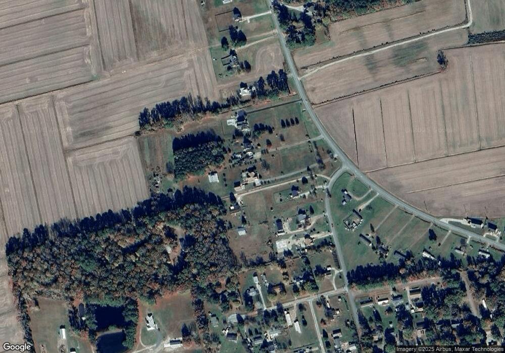
Map
Nearby Homes
- 114 Dogwood Dr Unit Lot 12
- 137 Robert Walker Rd
- 102 Creekmore Rd
- 123 Willow Dr
- 182 Wedgewood Dr
- 175 Wedgewood Dr
- 101 Donna Ct
- 101 Donna Ct Unit Lot 47
- 187 Wedgewood Dr
- 194 Baxter Estates Rd
- 155 Launch Landing Rd
- 165 Launch Landing Rd Unit Lot 3
- 165 Launch Landing Rd
- 0 Tulls Creek Unit 100510740
- 113 Baxter Grove Rd
- 107 Clearwood Dr
- 185 Launch Landing Rd Unit Lot 13
- 185 Launch Landing Rd
- 141 Trevor Way
- 113 Brayview Dr
- 121 Wilton Dr Unit 28G
- 121 Wilton Dr
- 104 Walker Dr
- 2020 Tulls Creek Rd
- 110 Walker Dr
- 114 Walker Dr
- 2018 Tulls Creek Rd
- 140 Wilton Dr
- 129 Wilton Dr
- 104 Penland Dr
- 102 Penland Dr
- 106 Penland Dr
- 100 Penland Dr
- 2010 Tulls Creek Rd
- 108 Penland Dr
- 2011 Tulls Creek Rd
- 110 Penland Dr
- 2000 Tulls Creek Rd
- 101 Dana St
- 105 Penland Dr