Estimated Value: $304,757 - $451,000
4
Beds
2
Baths
2,262
Sq Ft
$167/Sq Ft
Est. Value
About This Home
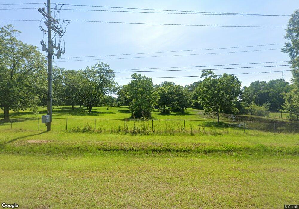
This home is located at 2034 Us Highway 41 N, Perry, GA 31069 and is currently estimated at $377,689, approximately $166 per square foot. 2034 Us Highway 41 N is a home located in Houston County with nearby schools including Langston Road Elementary School, Perry Middle School, and Perry High School.
Ownership History
Date
Name
Owned For
Owner Type
Purchase Details
Closed on
May 23, 1990
Sold by
Right Of Way Deed
Bought by
Bacon Joseph L and Bacon Antoinette
Current Estimated Value
Purchase Details
Closed on
Jun 22, 1987
Sold by
Right Of Way Deed
Bought by
Bacon Joseph L and Bacon Antoinette
Purchase Details
Closed on
Jul 22, 1985
Sold by
Bacon Joseph L
Bought by
Bacon Joseph L and Bacon Antoinette B
Purchase Details
Closed on
Jul 8, 1957
Bought by
Bacon Joseph L
Create a Home Valuation Report for This Property
The Home Valuation Report is an in-depth analysis detailing your home's value as well as a comparison with similar homes in the area
Home Values in the Area
Average Home Value in this Area
Purchase History
| Date | Buyer | Sale Price | Title Company |
|---|---|---|---|
| Bacon Joseph L | -- | -- | |
| Bacon Joseph L | -- | -- | |
| Bacon Joseph L | -- | -- | |
| Bacon Joseph L | -- | -- |
Source: Public Records
Tax History Compared to Growth
Tax History
| Year | Tax Paid | Tax Assessment Tax Assessment Total Assessment is a certain percentage of the fair market value that is determined by local assessors to be the total taxable value of land and additions on the property. | Land | Improvement |
|---|---|---|---|---|
| 2024 | $1,840 | $78,920 | $31,120 | $47,800 |
| 2023 | $1,619 | $69,000 | $28,160 | $40,840 |
| 2022 | $1,524 | $65,040 | $28,160 | $36,880 |
| 2021 | $1,123 | $48,240 | $16,720 | $31,520 |
| 2020 | $1,009 | $43,320 | $14,600 | $28,720 |
| 2019 | $1,009 | $43,320 | $14,600 | $28,720 |
| 2018 | $1,009 | $43,320 | $14,600 | $28,720 |
| 2017 | $1,010 | $43,320 | $14,600 | $28,720 |
| 2016 | $1,011 | $43,320 | $14,600 | $28,720 |
| 2015 | $1,013 | $43,320 | $14,600 | $28,720 |
| 2014 | -- | $43,320 | $14,600 | $28,720 |
| 2013 | -- | $43,320 | $14,600 | $28,720 |
Source: Public Records
Map
Nearby Homes
- 107 Lighterknot Trail
- 106 Raspberry Trail
- 2111 N Us Hwy 41
- 204 Susanne's Retreat
- 118 Farmers Way
- 110 Gwendolyn Ave
- 0 Langston Rd Unit 16828609
- 206 Sutton Dr
- 204 Sutton Dr
- 500 Legacy Park Dr
- 114 Sutton Dr
- 309 E River Cane Run
- 0 Hwy 41 & Langston Rd Unit M170042
- 412 Legacy Park Dr
- 311 Rusty Plow Ln Unit 16
- 307 Rusty Plow Ln
- 104 Red Barn Ct
- 102 Kanza Trail
- 307 Rusty Plow Ln Unit 14
- 149 MacK Thompson Road Common
- 2035 Us Highway 41 N
- 2046 Us Highway 41 N
- 2031 Us Highway 41 N
- 303 Macon Rd
- 2001 Macon Rd
- 108 Raspberry Trail
- 110 Raspberry Trail
- 113 Lighterknot Trail
- 111 Lighterknot Trail
- 103 Raspberry Trail
- 105 Lighterknot Trail
- 109 Lighterknot Trail
- 101 Lighterknot Trail
- 100 Raspberry Trail
- 0 Perry Pkwy Unit 8375685
- 0 Perry Pkwy Unit 8344601
- 0 Perry Pkwy Unit 3166385
- 0 Perry Pkwy Unit 3166573
- 0 Perry Pkwy Unit LOT 18 7174401
- 0 Perry Pkwy Unit 7482946
